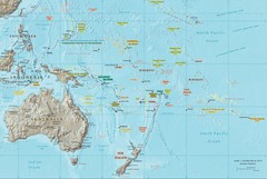
Oceania Map
Map of Oceania. Shows all island groups in the Pacific Ocean
2300 miles away
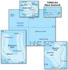
Tokelau islands Map
2303 miles away
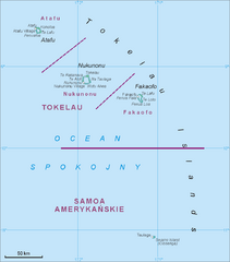
Tokelau Islands Map
Guide to the islands of Tokelau, a territory of New Zealand comprised of three coral atolls, also...
2311 miles away
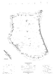
Nukunono atoll Map
2314 miles away
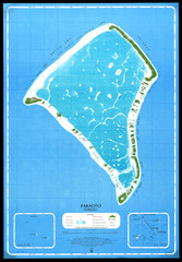
Fakaofo Map
2315 miles away
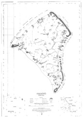
Fakaofo atoll Map
2315 miles away
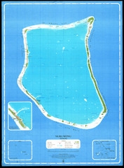
Nukunonu Atoll Map
2315 miles away
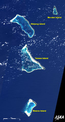
Kiribati Islands Map
Kiribati satellite image of Kiribati Islands of Tarawa Island, Abaiang Island, Marakei Island, and...
2325 miles away
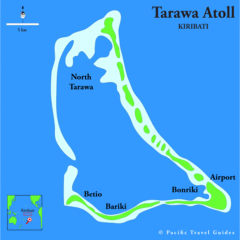
Tarawa atoll Map
2332 miles away

Aleutian Islands Map
2340 miles away
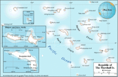
Marshall Islands Map
2341 miles away
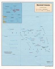
Marshall Islands Map
Guide to the island country of Marshall Islands
2345 miles away

Jaliut atoll Map
2347 miles away

Kwajelein atoll Map
2367 miles away

Kwajalien atoll Map
2370 miles away
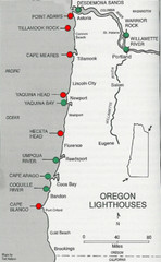
Lighthouses of the Oregon Coast Map
lighthouses (active, inactive, and destroyed) on the coast of Oregon (and the Columbia River)
2370 miles away
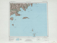
Sutwik Island Shaded Relief Map
2388 miles away
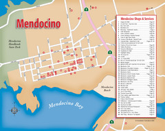
Mendocino Tourist Map
Tourist map of town of Mendocino, California. Shows shops and services.
2414 miles away
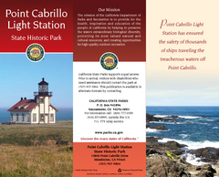
Point Cabrillo Light Station State Historic Park...
Map of park with detail of trails and recreation zones
2414 miles away
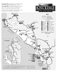
King Range National Conservation Area Trail Map
Trail map of the King Range National Conservation Area, home of the Lost Coast, California. Shows...
2415 miles away

Van Damme State Park Map
Park map of Van Damme State Park near Mendocino, California. Show Fern Valley Trail through...
2416 miles away
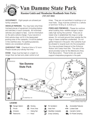
Russian Gulch State Park Campground Map
Map of campground region of park with detail of trails and recreation zones
2416 miles away
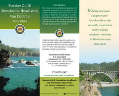
Mendocino Headlands State Parks Map
Map of parks with detail of trails and recreation zones
2416 miles away
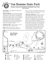
Van Damme State Park Campground Map
Map of campground region of park with detail of trails and recreation zones
2416 miles away
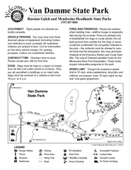
Van Damme State Park Campground Map
Map of campground region of park with detail of trails and recreation zones
2417 miles away
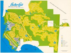
Shelter Cove Map
Shelter Cove Subdivision Map. Shows all streets, houses, commercial buildings, gas stations, and...
2418 miles away
MacKerricher State Park Map
Map of park with detail of trails and recreation zones
2418 miles away
MacKerricher State Park Campground Map
Map of campground region of park with detail of trails and recreation zones
2419 miles away

Swain's Island Map
2421 miles away
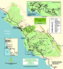
Salt Point State Park Map
Topo park map of Salt Point State Park and Kruse Rhododendron State Reserve. Shows trails by use...
2423 miles away
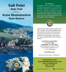
Salt Point State Park Map
Map of park with detail of trails and recreation zones
2423 miles away
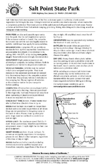
Salt Point State Park Campground Map
Map of campground region of park with detail of trails and recreation zones
2424 miles away
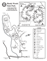
Hendy Woods State Park Map
Park map of Hendy Woods State Park in Philo, California. Shows trails, campgrounds, and other...
2426 miles away
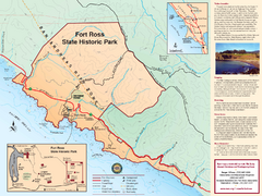
Fort Ross State Historic Park Map
Map of park with detail of trails and recreation zones
2426 miles away
Fort Ross State Historic Park Map
Map of park with detail of trails and recreation zones
2426 miles away
Hendy Woods State Park Map
Map of park with detail of trails and recreation zones
2426 miles away
Fort Ross State Historic Park Campground Map
Map of park with detail of trails and recreation zones
2426 miles away
Hendy Woods State Park Campground Map
Map of campground region park with detail of trails and recreation zones
2426 miles away
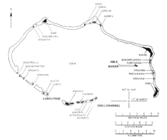
Bikini atoll Map
2427 miles away

Philo Wine Map
Shows wineries great for wine tasting in the Anderson Valley along Route 128 in Philo California.
2427 miles away

