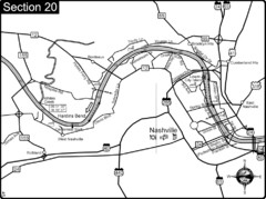
Nashville, TN-Cumberland River Map
The Cumberland River is an important waterway to the city of Nashville. Nashville is also a great...
0 miles away

Nashville City Map
1 mile away
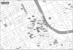
Downtown Nashville, TN Tourist Map
1 mile away
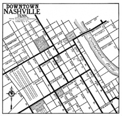
Downtown Nashville, TN Tourist Map
1 mile away
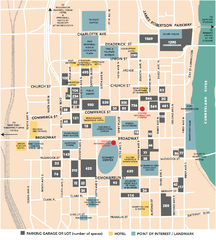
Nashville, TN Tourist Map
1 mile away
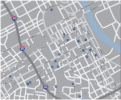
Nashville, TN Tourist Map
1 mile away
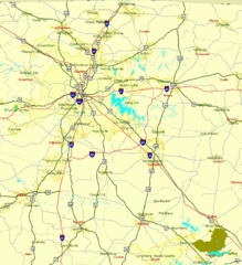
Nashville, TN Tourist Map
1 mile away
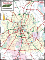
Nashville Road Map
Shows roads and major streets in Nashville, TN area
1 mile away
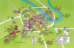
Nashville, TN Tourist Map
1 mile away
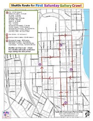
Nashville First Saturday Gallery Crawl Shuttle...
1 mile away

Midtown Nashville and West End Map
3 miles away
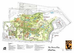
Nashville Zoo Map
6 miles away
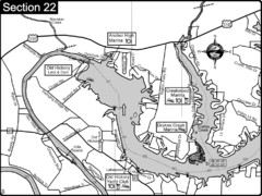
Old Hickory Lake-Cumberland River Map
Section 22 from the Cumberland River Guidebook shows the dam that forms Old Hickory Lake near...
9 miles away
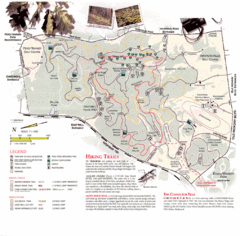
Percy Warner Park Map
11 miles away
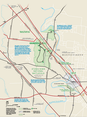
Stones River National Battlefield Official Map
Official NPS map of Stones River National Battlefield in Virginia. 8 AM to 5 PM Daily Pedestrians...
28 miles away
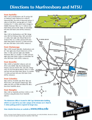
Middle Tennessee State University Map
Middle Tennessee State University Campus Map. All buildings shown.
31 miles away
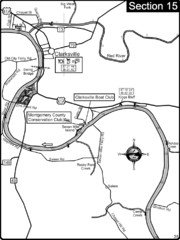
Clarksville, TN-Cumberland River Map
Cumberland River flows past Clarksville that has a great riverfront and services for traveling...
38 miles away
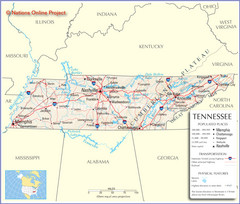
Tennessee Tourist Map
47 miles away
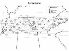
Tennessee Airports Map
47 miles away
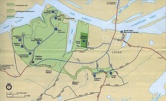
Civil War Era Tennessee State Battle Map
47 miles away
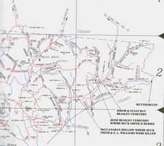
Trousdale County Muttonbluff Map
Pictured is a part of a map of Trousdale County containing the extreme northeast section. The...
48 miles away
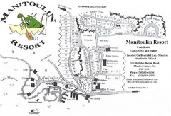
Manitoulin Resort Map
57 miles away
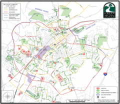
Bowling Green Biking Map
Map of biking trails in the city of Bowling Green area. Includes all streets, parks, some buildings...
58 miles away
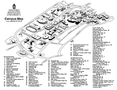
Western Kentucky University Map
Western Kentucky University Campus Map. All buildings shown
59 miles away
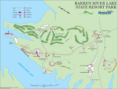
Barren River Lake State Resort Park Map
Map of facilities and golf course in Barren River Lake State Resort Park.
61 miles away
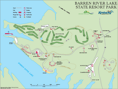
Barren River State Park map
Recreation map for Barren River Lake State Park in Kentucky
62 miles away
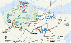
Fort Donelson National Battlefield Official Map
Official NPS map of Fort Donelson National Battlefield in Tennessee. Fort Donelson visitor center...
64 miles away
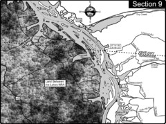
Lake Barkley-Cumberland River Map
Portion of Lake Barkley formed on the Cumberland River. In this section the state line is shown...
72 miles away
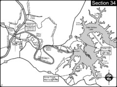
Celina, TN Dale Hollow Lake-Cumberland River Map
Celina Tennessee is the location for the head of navigation for the Cumberland River at the fork of...
76 miles away
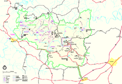
Mammoth Cave National Park Official Park Map
Official NPS map of Mammoth Cave National Park in Kentucky. Most of the park's resources and...
78 miles away
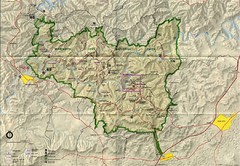
Mammoth Cave National Park Map
Visitor Center Area Map and Park Map. Topographical map that shows parameters of the park as well...
79 miles away
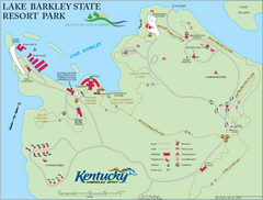
Lake Barkley State Resort Park Map
Map of the trails and facilities of Lake Barkley State Resort Park.
79 miles away

Central Kentucky Trail Map
80 miles away
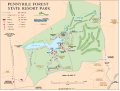
Pennyrile State Resort Park map
Recreation map for Pennyrile Forest State Park in Kentucky
83 miles away
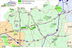
Green River Area Hunting Map
Map marking highways, forests, parks and hunting zones in Kentucky's beautiful Green River...
86 miles away
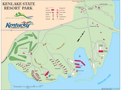
KenLake State Resort Park Map
Map of trails, facilities, and golf course for the KenLake State Resort Park located on the mid...
88 miles away
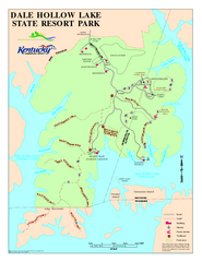
Dale Hollow Lake State Park Map
Map of trails and facilities of Dale Hollow Lake State Park.
88 miles away

Clifton, TN Tennessee River Map
For boating navigational information and river road travel along the Tennessee River.
89 miles away
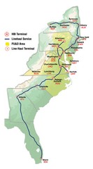
Linehaul Service Area Map
Service Area Map of Linehaul Surface Transportation
94 miles away


 Explore Maps
 Map Directory
