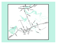
Dinosaur Valley, Texas State Park Map
333 miles away
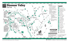
Dinosaur Valley, Texas State Park Facility and...
333 miles away
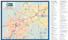
Auburn and Opelika City Map
Map of Auburn and Opelika, Alabama with tourist information.
333 miles away
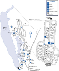
Florence Marina State Park Map
Map of park with detail of trails and recreation zones
335 miles away

Lake Jacksonville Congression Park Map
336 miles away
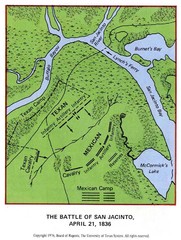
The Battle of San Jacinto, Texas Historical Map
338 miles away
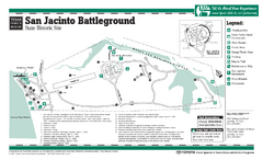
San Jacinto Battleground, Texas State Park...
338 miles away
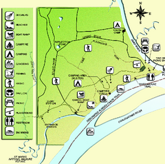
Ochlockonee River State Park Map
Map of park with detail of trails and recreation zones
338 miles away
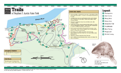
Stephen F. Austin, Texas State Park Trail Map
339 miles away
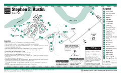
Stephen F. Austin, Texas State Park Facility Map
339 miles away

Lake Tallavana Parcel Map
Lake Tallavana Parcel Map
341 miles away
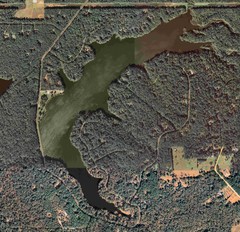
Lake Tallavana Map
Lake Tallavana aerial Map of the lake and surrounding areas.
341 miles away
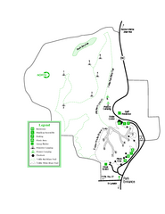
Providence Canyon State Park Map
Map of park with detail of trails and recreation zones
341 miles away
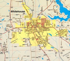
Whitehouse City Map
City map of Whitehouse, Texas
341 miles away

Tishomingo State Park, Mississippi Map
This map unfortunately does not adequately represent this park which is in one of the few areas of...
343 miles away
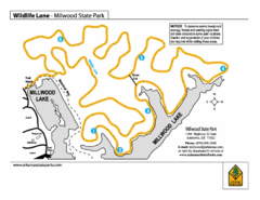
Millwood State Park Trail Map
Map of Millwood State Park showing the Wildlife Lane Trail.
345 miles away
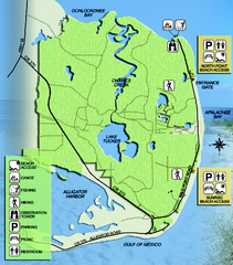
Bald Point State Park Map
Map of park with detail of trails and recreation zones
345 miles away
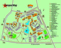
University of Texas at Tyler Map
346 miles away
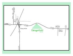
Daingerfield, Texas State Park Map
346 miles away
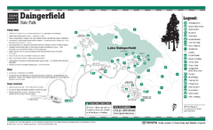
Daingerfield, Texas State Park Facility and Trail...
346 miles away
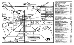
Tyler, Texas Map
Tourist map of Tyler, Texas, showing museums, amusements, lodging, and restaurants.
349 miles away
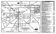
Tyler, Texas Map
Tourist map of Tyler, Texas, showing museums, amusements, lodging, and restaurants.
349 miles away
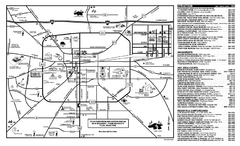
Tyler, Texas Map
Tourist map of Tyler, Texas, showing museums, amusements, lodging, and restaurants.
349 miles away
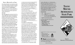
Toltec Mounds Archeological State Park Map
Map of the trails and earthworks sites of the Toltec Mounds Archeological State Park.
349 miles away
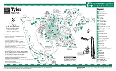
Tyler, Texas State Park Facility and Trail Map
349 miles away
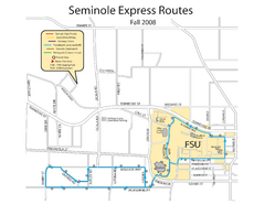
Seminole Express Bus Service Map
Bus route to Florida State University.
349 miles away
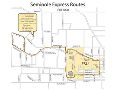
Florida State University Seminole Express Bus Map
349 miles away
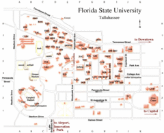
Florida State University Map
350 miles away
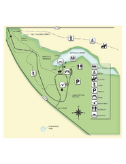
Edward Ball Wakulla Springs State Park Map
Map of park with detail of trails and recreation zones
350 miles away
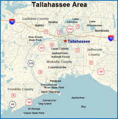
Tallahassee, Florida City Map
351 miles away
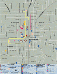
Downtown Tallahassee, Florida Map
Tourist map of downtown Tallahassee, Florida. Museums, government buildings and other points of...
351 miles away

Florida State University Map
Florida State University campus map. All buildings shown.
351 miles away
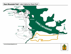
Lake Catherine State Park Trails Map
Hiking Trail map for Lake Catherine State Park also showing overview of the lake and park...
351 miles away
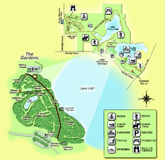
Alfred B. Maclay Gardens State Park Map
Map of park with detail of trails and recreation zones
353 miles away
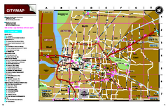
Memphis, Tennessee City Map
353 miles away
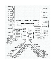
Memphis International Airport Terminal Map
Official Terminal Map of Memphis International Airport. Shows all terminals.
353 miles away
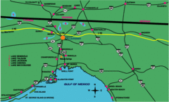
Tallahassee Freeway Map
Freeways and road leading to and from Tallahassee.
354 miles away
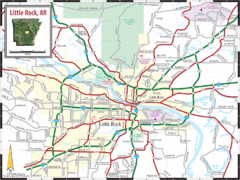
Little Rock, Arkansas City Map
354 miles away
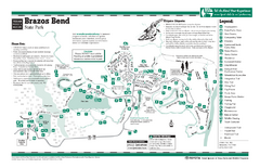
Brazos Bend, Texas State Park Facility Map
354 miles away

