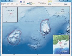
Flower Garden National Marine Sanctuary Map
Official map of the Flower Garden National Marine Sanctuary 110 miles off the coast of Texas...
306 miles away
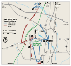
Tupelo National Battlefield Official Map
Official NPS map of Tupelo National Battlefield in Mississippi. Tupelo National Battlefield (NB...
309 miles away
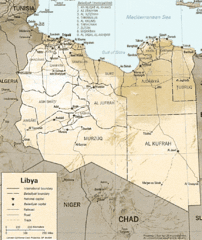
Lybia Map
Clear map and legend of this African Nation.
311 miles away
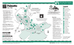
Palmetto, Texas State Park Facility and Trail Map
311 miles away
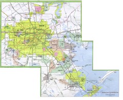
Houston Metropolitan Map
City map of the Galveston to Houston, Texas metro area
312 miles away

Houston Airport IAH Map
312 miles away
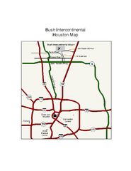
George Bush Intercontinental Airport Terminal Map
Official Terminal Map of George Bush Intercontinental Airport. Shows all areas.
313 miles away
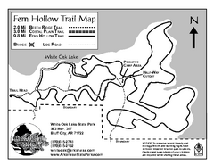
White Oak Lake State Park Trail Map
Trail Map for White Oak Lake State Park.
313 miles away

Brookwood Medical Center Map
313 miles away
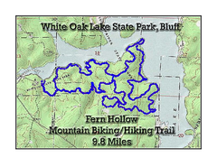
Fern Hollow Trail - White Oak Lake State Park...
Topographical Map of Fern Hollow Mountain Biking and Hiking Trail in White Oak Lake State Park.
313 miles away
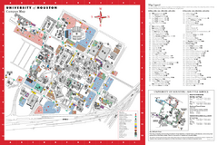
University of Houston Map
Campus Map of the University of Houston. All buildings shown.
313 miles away
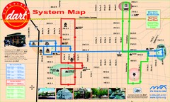
UAB and Area 5 Dart Sysetm Map
314 miles away

Houston Metropolitan Map
Map of Houston Metropolitan area with QTRCO highlighted
314 miles away
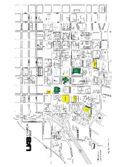
University of Alabama at Birmingham Map
University of Alabama at Birmingham Campus Map. All buildings shown.
315 miles away
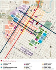
Downtown Houston Map
Street map of downtown Houston
315 miles away
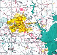
Houston City Map
315 miles away
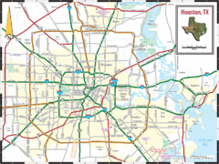
Houston, Texas City Map
315 miles away
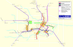
2012 Houston Metro Map
Future rail system to help you move around Houston with ease.
315 miles away
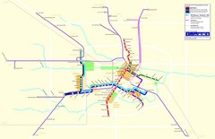
2012 Houston Transit System Map
315 miles away
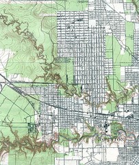
Houston Street and House level Map
Houston topo map with streets, buildings, towns
315 miles away
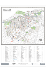
Houston Downtown Map
3D aerial map of downtown Houston, Texas. Shows skyscrapers and points of interest.
315 miles away
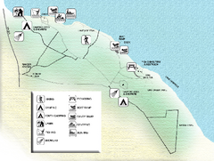
Three Rivers State Park Map
Map of park with detail of recreation zones
315 miles away
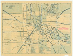
Antique map of Houston from 1935
Map of Houston, Texas from Texas State Library and Archives Commission, 1935
315 miles away
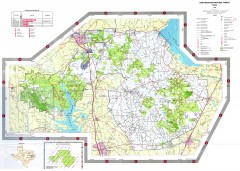
Sam Houston National Forest Map
US Forest Service map of Sam Houston National Forest. Shows locations of campgrounds, facilities...
317 miles away
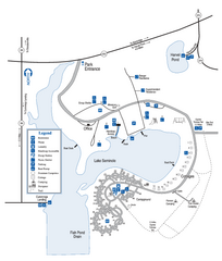
Seminole State Park Map
Map of park with detail of trails and recreation zones
318 miles away
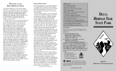
Delta Heritage Trail State Park Map
Map of Arkansas Historical Delta Heritage Trail both completed and uncompleted sections.
319 miles away
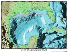
Gulf of Mexico sea floor Map
321 miles away
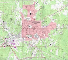
Alexander City Map
Topography city map of Alexander City, Alabama
321 miles away
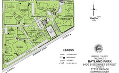
Bayland Park Map
323 miles away
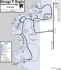
George T. Bagby State Park Map
Map of park with detail of trails and recreation zones
323 miles away

Atlanta, Texas State Park Map
324 miles away

Atlanta, Texas Park Facility and Trail Map
324 miles away
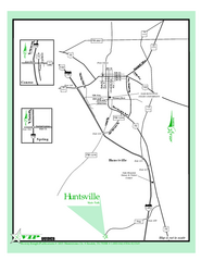
Huntsville, Texas State Park Location Map
326 miles away
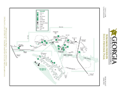
Kolomoki Mounds State Park Map
Map of park with detail of trails and recreation zones
326 miles away
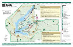
Huntsville, Texas State Park Trail Map
327 miles away
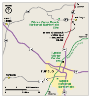
Brices Cross Roads National Battlefield Site...
Official NPS map of Brices Cross Roads National Battlefield Site in Mississippi. The grounds of the...
327 miles away
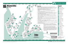
Huntsville, Texas State Park Facility Map
328 miles away
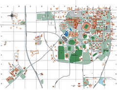
Auburn University Map
329 miles away
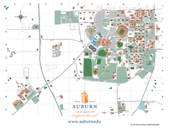
Auburn University Map
Campus Map of Auburn University. All areas shown.
330 miles away
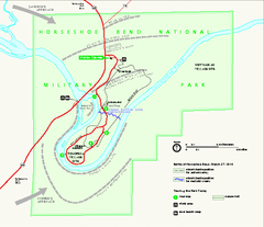
Horseshoe Bend National Military Park Official Map
Official NPS map of Horseshoe Bend National Military Park in Alabama. Horseshoe Bend National...
333 miles away

