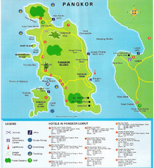
Pangkor Island Tourist Map
Map Of Pangkor Island, Perak, Malaysia showing hotels, and activities on the island.
754 miles away
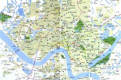
Nanning China Map
Tourist Map of Nanning China which identifies hotels and tourist attractions. Note the map is in...
755 miles away

Map of Haikou City
Haikou Banana Hostel's map of Haikou City, on Hainan Island, South China
761 miles away

Guangxi Zhuang Autonomous Region Tourist Map
762 miles away
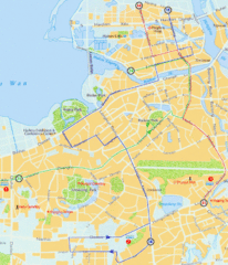
Haikou Tourist Map
762 miles away
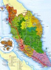
Malaysia Map
Map of Malaysia. Shows states of Malaysia, expressways, highways, railways, airports, mountains...
765 miles away

Wencheng Tourist Map
Places of interest in Wencheng, China.
771 miles away
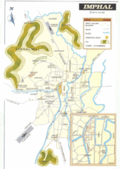
Imphal India Tourist Map
Tourist Map of Imphal City, India showing roads, tourist attractions and the airport.
777 miles away
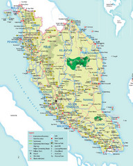
Peninsular Malaysia Tourist Map
Detailed map of Peninsular Malaysia showing main highways,railways, cities and places of interest.
778 miles away
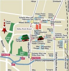
Shiba Park Tourist Map
778 miles away
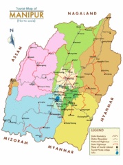
Manipur India Tourist Map
Tourist Map of Manipur, India showing tourist sites, roads and cities.
779 miles away
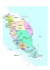
Malaysia Road Map
782 miles away

Bangladesh district Map
788 miles away
Polonia Airport Map
802 miles away
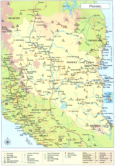
Pahang Tourist Map
Tourist/road map of state of Pahang, Malaysia. Shows points of interest
805 miles away
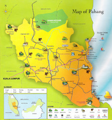
Pahang Malaysia Map
Map Of Pahang, Malaysia with pictorials to identify tourist activities and sites.
822 miles away

China's Parallell River's Map
833 miles away
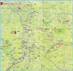
Kuala Lumpur Tourist Map
Tourist map of central Kuala Lumpur, Malaysia. Shows hotels and other points of interest.
834 miles away
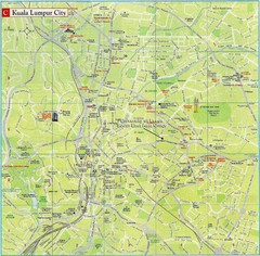
Kuala Lumpur City Tourist Map
Tourist map of central Kuala Lumpur City, Malaysia. Shows points of interest. University of Leeds...
834 miles away
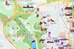
Kuala Lumpur Lake Gardens Map
Tourist map of Kuala Lumpur Lake Gardens. Shows Bird Park, Butterfly Park and other tourist...
834 miles away
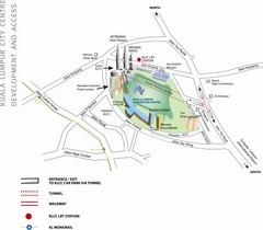
Kuala Lumpur Tourist Map
834 miles away
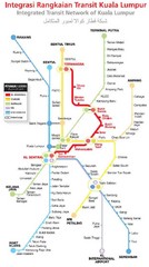
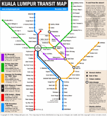
Kuala Lumpur Transit Map
835 miles away
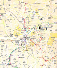
Kuala Lumpur Tourist Map
This Is Map Of Kuala Lumpur City, Malaysia showing hotels, tourist sites, roads and mass transit.
835 miles away
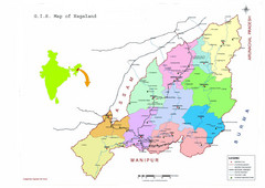
Nagaland Tourist Map
Tourist map of state of Nagaland, India. Shows tourist destinations and roads.
841 miles away
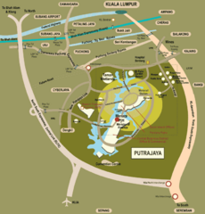
Putrajaya Tourist Map
848 miles away
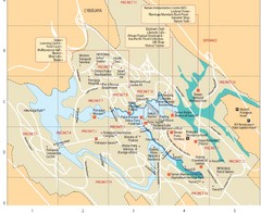
Putrajaya Map
848 miles away
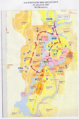
Putrajaya Race Map
2007 Pacesetters Breakfast Run Route in Putrajaya, Malaysia. Map shows amenities and tourist...
848 miles away
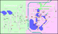
Cyberjaya Putrajaya City Map
849 miles away
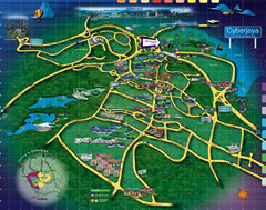
Cyberjaya Office Park Map
Shows major company office buildings in Cyberjaya, Malaysia, self-proclaimed "Intelligent City...
849 miles away

Bangladesh Tourist Center Map
Map of tourist centers, Bangladesh.
864 miles away
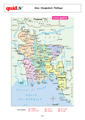
Bangladesh Regional Map
Country map with detail of regional divides
864 miles away
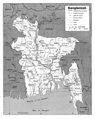
Bangladesh Map
Bangladesh Map showing cities, borders and rivers
864 miles away
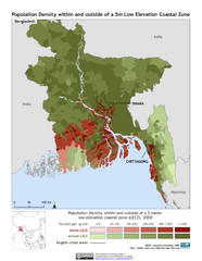
Bangladesh 5m LECZ and Population Density Map
Population densite within and outside of a 5 meter low elevation coastal zone
864 miles away

Bangladesh Map
Bangladesh country map, shows physical relief
864 miles away
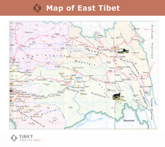
Map of East Tibet X
866 miles away

