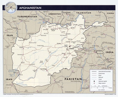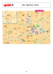
AFG Security & Poppy Cultivation 2008 Map
0 miles away
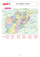
Afghanistan Provinces Map
Map of Afghanistan, with detail of province divisions
36 miles away
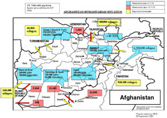
AFG Humanitarian Map
49 miles away
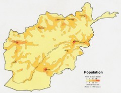
Afghanistan Population Map
56 miles away
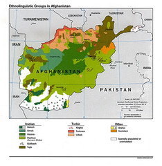
Afghanistan Entholinguistic Map
56 miles away
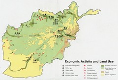
Afghanistan Economic and Land Use Tourist Map
56 miles away
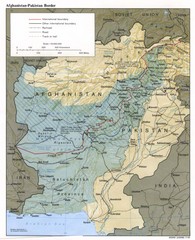
Afghanistan-Pakistan Border Map
56 miles away
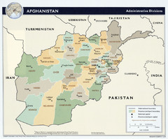
Afghanistan Tourist Map
56 miles away
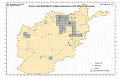
Afghanistan Shaded Relief Index Map
Index Map for the ASTER-Derived 30-Meter-Resolution Digital Elevation Models of Afghanistan.
56 miles away
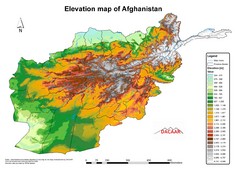
Afghanistan Elevation Map
Elevation map of Afghanistan
56 miles away
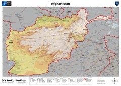
Afghanistan Map
Physical map of Afghanistan. Shows relief.
56 miles away
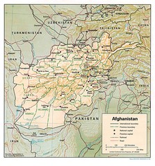
Afghanistan Map
Guide to Afghanistan and surrounds
57 miles away
![AFG Afghanistan_pop72[1] Map AFG Afghanistan_pop72[1] Map](/maps/AFG-Afghanistanpop721-Map.thumb.jpg)
AFG Afghanistan_pop72[1] Map
112 miles away

Afg Topographic Map
147 miles away
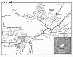
Kabul, Afghanistan Tourist Map
149 miles away

Kabul City Map
City map of Kabul, Afghanistan. Neighborhoods are shaded. Shows points of interest, restaurants...
150 miles away
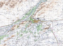
Kandahar Area Topo Map
Topo map of Kandahar, Afghanistan.
156 miles away
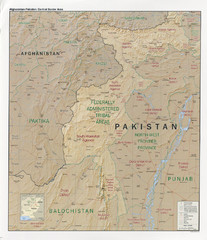
Afghanistan-Pakistan Central Border Area Map
Shows border regions of Pakistan-Afghanistan.
203 miles away
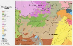
AFG afghanistan & environs ethnolinguistic...
203 miles away
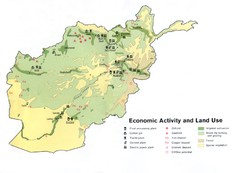
AFG Economic Activty Map
211 miles away
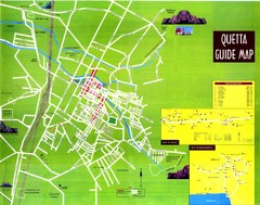
Quetta City Map
City map of Quetta, Pakistan. Shows major streets.
237 miles away
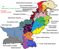
Pakistan New Provinces Map
It is only a suggested map of new provinces of Pakistan according to me. If provinces are made so...
266 miles away
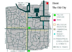
Herat Tourist Map
269 miles away
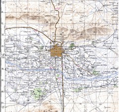
Herat Topo Map
original scale 1:200,000 Portion of Soviet General Staff map I-41-XV
269 miles away
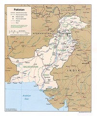
Pakistan Map
271 miles away
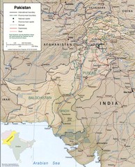
Pakistan Map
271 miles away
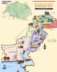
Pakistan Tourist Map
Tourist map of Pakistan. Shows major regions with tourist photos.
271 miles away
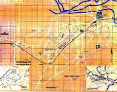
Peshawar City Map
City map of Peshawar, Pakistan
273 miles away
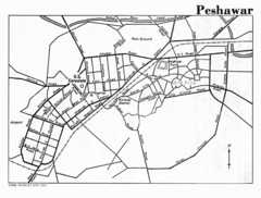
Peshawar Map
Guide to Peshawar, Pakistan
274 miles away
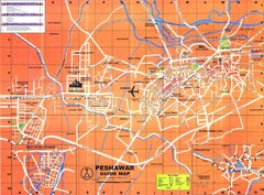
Peshawar City Map
City map of Peshawar, Pakistan. Scanned.
274 miles away
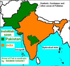
real map of south asia
Admired and righteous areas of Pakistan in India. Soon will be in Pakistan
294 miles away
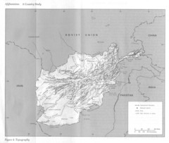
Afghanistan Topographic Map
307 miles away
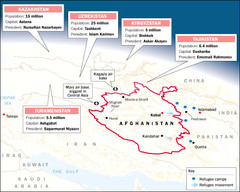
AFG Surrounding Population Map
310 miles away

Languages of Pakistan Map
345 miles away
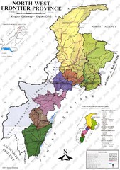
NWFP Division Map
Federally administered tribal area divisions in Pakistan as of 1995.
348 miles away
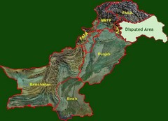
Pakistan Relief Map
Map of Pakistan showing the borders of the areas within the country and the terrain of each.
354 miles away
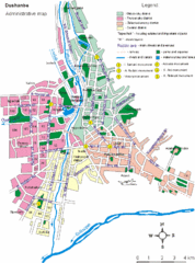
Dushanbe City Map
357 miles away

