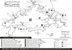
Ilha Grande Tourist Map
Tourist map of island
957 miles away
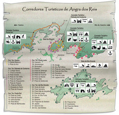
Angra dos Reis Tourist Map
Tourist map of region
960 miles away
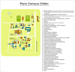
Universidad de Concepción Chillan Campus...
Campus map
971 miles away
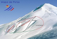
Corralco Ski Trail Map
Trail map from Corralco. It has 2 lifts servicing 9 runs. This ski area has its own website.
977 miles away
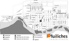
Junin de los Andes Map
Tourist street map of city
994 miles away
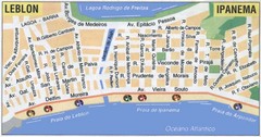
Ipanema - Leblon Street Map
Street map of Ipanema/Leblon region of Rio
1011 miles away
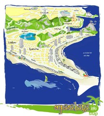
Copacabana Tourist Map
1012 miles away
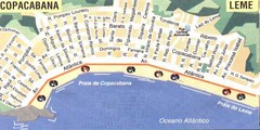
Copacabana-Leme Map
Street map of Copacabana - Leme regions of Rio
1013 miles away
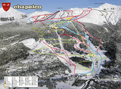
Chapelco Ski Trail Map
Trail map from Chapelco. This ski area has its own website.
1013 miles away
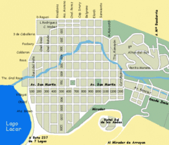
San Martin de los Andes Map
Street map of city
1014 miles away
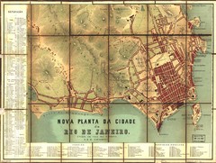
Rio de Janeiro Map 1867
Detailed map of city of Rio de Janeiro. Looks like the map portion has been overlayed on top of a...
1014 miles away
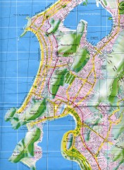
Rio de Janeiro Copacabana Area Map
Shows Copacabana and Pao de Azucar area of Rio de Janeiro, Brazil. Map is oriented south. Scanned.
1014 miles away
. Map
1015 miles away
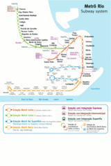
Metro Rio Map
Map of metro subway throughout Rio De Janeiro
1015 miles away
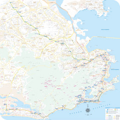
Rio de Janiero Map
1015 miles away
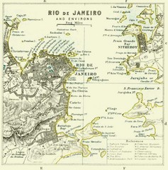
Rio De Janeiro Historical Map
Map of Rio De Janeiro, Brazil fro 1896. Map showis towns, buildings and roads.
1015 miles away
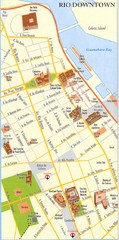
Rio de Janeiro Center Map
Street map of city center
1015 miles away
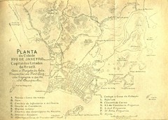
Rio De Janeiro Historical Map
Map of Rio De Janeiro, Brazil likely from 1769 showing the city streets and main buildings.
1016 miles away
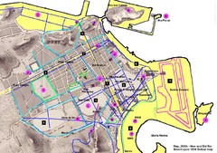
New and Old Rio de Janiero Map
Shows 2000 view of Rio de Janeiro, Brazil superimposed over 1838 Dufour map.
1017 miles away
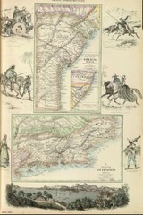
Middle Provinces of Brazil Map 1872
Map of province east coast of Brazil (Bahia) and province of Rio de Janeiro, Brazil 1872
1018 miles away
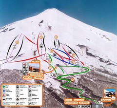
Pucón—Volcán Villarrica Ski Trail Map
Trail map from Pucón—Volcán Villarrica. This ski area has its own website.
1021 miles away
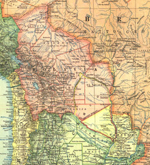
Bolivia and Paraguay in 1921 Map
1921 National Geographic Map of Bolivia and Paraguay before of the 1932-35 bloody war between those...
1041 miles away

Bariloche Trail Map
Ski trail map
1042 miles away
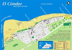
El Condor Tourist Map
Tourist street map
1042 miles away
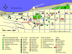
Bariloche Center Tourist Map
Tourist map of town center
1044 miles away
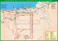
San Carlos de Bariloche Tourist Map
Tourist street map of city
1044 miles away
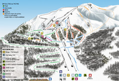
Cerro Bayo Ski Trail Map
Trail map from Cerro Bayo.
1045 miles away
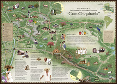
Chiquitania Region Tourist Map
Tourist map of the Mancomunidad Chiquitana or "Association of Chiquitano Peoples and...
1046 miles away
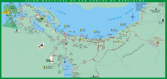
San Carlos de Bariloche Area Tourist Map
Tourist map of San Carlos de Bariloche, Argentina area in Patagonia on Lake Nahuel Huapi.
1047 miles away
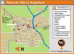
Villa la Angostura Tourist Map
Tourist street map
1047 miles away
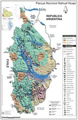
Nahuel Huapi National Park Map
Park map with detail of trails and recreation zones
1048 miles away
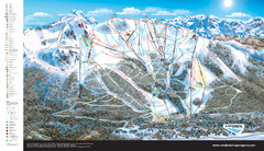
Catedral Alta Patagonia Ski Trail Map
Ski trail map of Catedral Alta Patagonia near Bariloche, Argentina
1052 miles away

