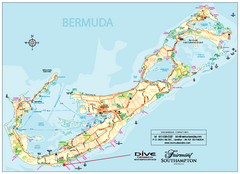
Bermuda Overview Map
Overview map of Bermuda. Shows sunken ship diving spots.
3362 miles away
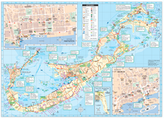
Tourist map of Bermuda
Great tourist map of Bermuda from the Bermuda Department of Tourism. Historic, transport...
3363 miles away
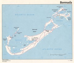
Bermuda Tourist Map
3363 miles away
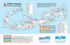
Bermuda Public Transport Map
Bus and ferry map of Bermuda. Shows ferry stops and bus routes.
3363 miles away
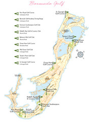
Bermuda Golf Map
Golf map of Bermuda. Shows 9 golf courses.
3363 miles away
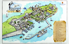
Royal Naval Dockyard Tourist Map
Tourist map of the Royal Naval Dockyard in Bermuda. Shows points of interest
3364 miles away
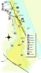
Tomoka State Park Map
Map of park with detail of recreation zones
3365 miles away

Crystal Cave Map
Tourist map of the grounds of Crystal Caves, Bermuda. Shows entrances to Crystal Cave and Fantasy...
3365 miles away

St. George Tourist Map
Tourist map of historic city of St. George, Bermuda. Recognized by UNESCO as a World Heritage Site.
3367 miles away
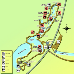
Homosassa Springs Wildlife State Park map
Map of park with detail of trails and recreation zones
3368 miles away
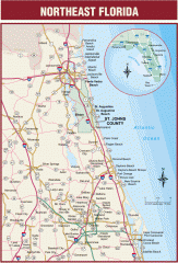
Northeast Florida Road map
A complete road map of the Northeast section of the state of Florida.
3368 miles away

Citrus County, Florida Map
Tourist map of Citrus County, Florida. Shows parks, trails, museums, and other points of interest.
3370 miles away
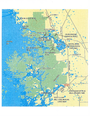
Crystal River Preserve State Park Map
Map of park with detail of recreation zones
3372 miles away

Putrajaya Tourist Map
3372 miles away
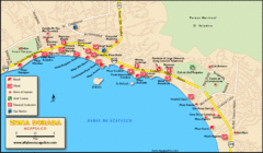
Zona Dorada Acapulco Map
Tourist site map of Zona Dorada area of Acapulco
3373 miles away
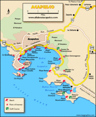
Acapulco Tourist Map
3373 miles away
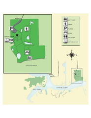
Crystal River Archeological State Park Map
Map of park with detail of trails and recreation zones
3376 miles away
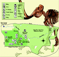
Silver River State Park Map
Map of park with detail of trails and recreation zones
3379 miles away

Route of Cortez Map
3381 miles away
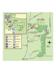
Rainbow Springs State Park Map
Map of park with detail of recreation zones
3382 miles away
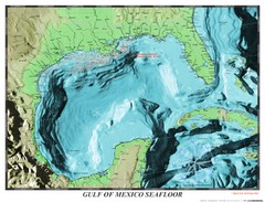
Gulf of Mexico sea floor Map
3385 miles away
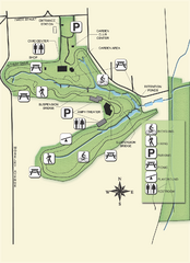
Ravine Gardens State Park Map
Map of park with detail of trails and recreation zones
3397 miles away
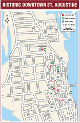
Downtown St. Augustine, Florida Map
Tourist map of historic downtown St. Augustine, Florida. Shows visitor information, restrooms, and...
3406 miles away
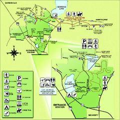
Paynes Prairie State Preserve Map
Map of preserve with detail of trails and recreation zones
3410 miles away

University of Florida Map
3415 miles away
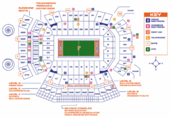
Ben Hill Griffin Stadium Map
Clear map and legend of this stadium.
3415 miles away
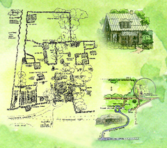
Dudley Farm Historic State Park Map
Map of park with detail of historical monuments
3420 miles away
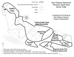
San Felasco Hammock Preserve State Park Horse...
Map of horse trails throughout preserve
3423 miles away
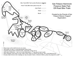
San Felasco Hammock Preserve State Park Bike...
Map of bike trails throughout preserve
3423 miles away
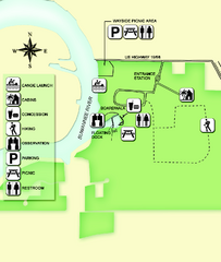
Fanning Springs State Park Map
Map of park with detail of trails and recreation zones
3426 miles away
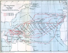
Columbus Voyages Map
Shows the four voyages of Columbus 1492-1503. Based upon the map in Bourne's Spain in America...
3429 miles away
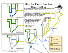
River Rise Preserve State Park Horse Trail Map
Map of horse trails throughout preserve
3438 miles away
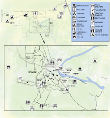
OLeno State Park Map
Map of park with detail of trails and recreation zones
3438 miles away
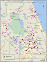
Jacksonville, Florida City Map
3442 miles away
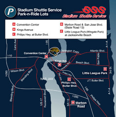
Stadium Shuttle Service Map
3442 miles away

Fogo Map
3442 miles away
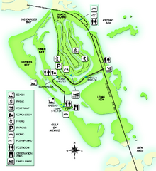
Lovers Key State Park Map
Map of park with detail of trails and recreation zones
3444 miles away
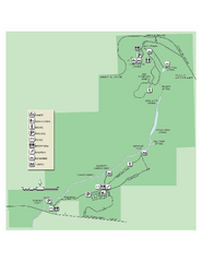
Ichetucknee Springs State Park Map
Map of park with detail of trails and recreation zones
3446 miles away
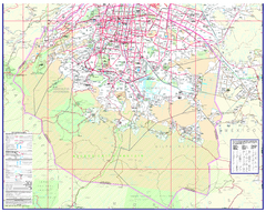
Mexico City (Distrito Federal) Map - South
Detailed street map of the south part of Mexico City (Distrito Federal). In Spanish.
3446 miles away
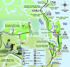
Jacksonville Area Florida State Parks Map
Overview map of Florida State Parks near Jacksonville, Florida. Shows Pumpkin Hill Creek Preserve...
3447 miles away

