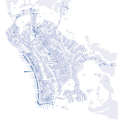
Marco Island Hotel Map
Hotel map of Marco Island, Florida
3165 miles away
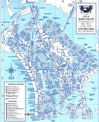
Marco Island Map
3165 miles away
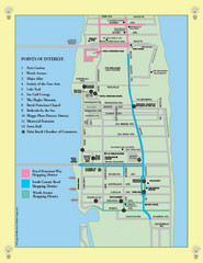
Palm Beach Tourist Map
3173 miles away
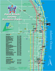
Palm Beach Tourist Map
3173 miles away
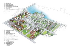
Palm Beach Atlantic University Map
Campus map
3173 miles away
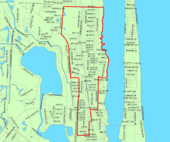
West Palm Beach, Florida City Map
3176 miles away
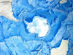
Ocean Floor Around Antarctica Map
Relief map of ocean floor around Antarctica
3177 miles away
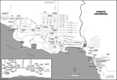
PUerto Escondido, Mexico Tourist Map
3189 miles away
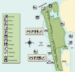
Delnor-Wiggings Pass State Park Map
Map of park with detail of trails and recreation zones
3190 miles away
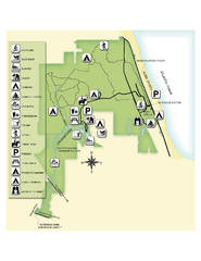
Jonathan Dickinson State Park Map
Map of park with detail of trails and recreation zones
3194 miles away
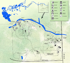
Koreshan State Historic Site Map
Map of park with detail of trails and recreation zones
3199 miles away
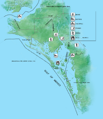
Estero Bay Preserve State Park Map
Map of park with detail of trails and recreation zones
3201 miles away
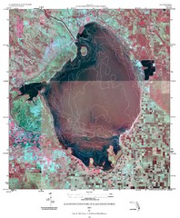
Elevation contour maps of Lake Okeechobee Map
Elevation contour maps of Lake Okeechobee
3203 miles away
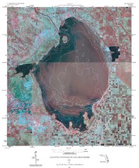
Elevation Contours of Lake Okeechobee Map
Elevation contour maps of Lake Okeechobee
3203 miles away
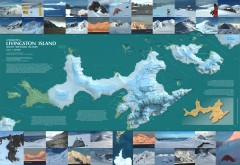
Livingston Island Ice Cover Map
L.L. Ivanov et al, Antarctica: Livingston Island, South Shetland Islands (from English Strait to...
3204 miles away
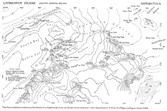
Livingston Island Map
3206 miles away
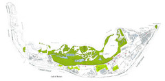
Sanibel Island and Captiva Island Map
3208 miles away
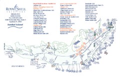
Sanibel Island Tourist Map
Tourist map of Sanibel Island, Florida
3208 miles away
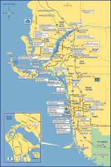
Fort Meyers tourist map
Tourist map of Fort Meyers, Florida. Shows businesses and points of interest.
3213 miles away
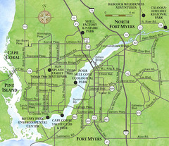
Cap Coral and Surrounding Area Map
Small, humble fishing community along the coast of Florida.
3214 miles away
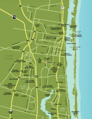
Port St. Lucie Map
Map of Port Saint Lucie.
3215 miles away
Hurricane Tracking Chart, Atlantic Map
This is a fun and potentially (if you live in the right place) useful map.
3215 miles away

Port St. Lucie , Florida City Map
3216 miles away
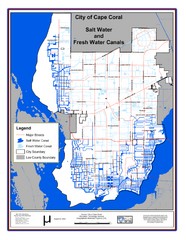
Cape Coral, Florida City Map
3217 miles away
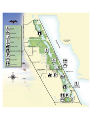
Savannas Preserve State Park Map
Map of park with detail of trails and recreation zones
3218 miles away

Baseball Spring Training in Souther Florida Map
Guide 2009 Baseball Spring Training in Florida
3224 miles away

Birdwatching Areas in St. Lucie County Florida Map
Map shows Birdwatching Areas in St. Lucie County, Florida.
3224 miles away
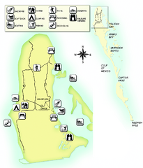
Cayo Costa State Park Map
Map of park with detail of trails and recreation zones
3225 miles away
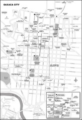
Oaxaca City, Mexico City Map
3229 miles away
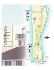
Gasparilla Island State Park Map
Map of park with detail of trails and recreation zones
3230 miles away
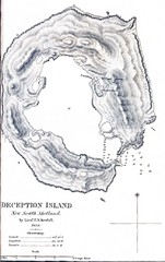
Deception Island Map
3231 miles away
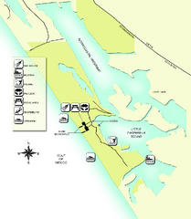
Don Pedro Island State Park Map
Map of park with detail of trails and recreation zones
3238 miles away
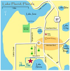
Lake Placide Town Map
3243 miles away
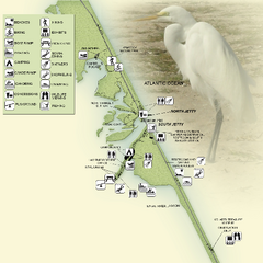
Sebastian Inlet State Park Map
Map of park with detail of trails and recreation zones
3256 miles away
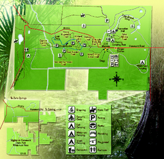
Highlands Hammock State Park Map
3258 miles away
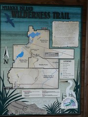
Myakka Island Trail Map
Trail map of Myakka Island. From photo.
3261 miles away
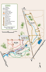
Oscar Scherer State Park Trail Map
Map of park with detail of hiking trails throughout
3262 miles away
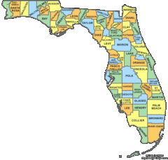
Florida Counties Map
3269 miles away
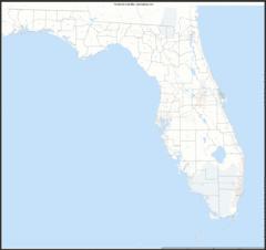
Florida Zip Code Map
Check out this Zip code map and every other state and county zip code map zipcodeguy.com.
3269 miles away
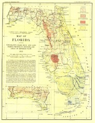
Topography of Florida Map
Topographic map of Florida that was developed in 1913. It shows the elevation changes that are...
3269 miles away

