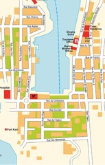
Gustavia Map
2365 miles away

St. Barthelemy Map
2366 miles away
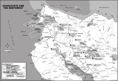
Guanacaste and the Northeast Map
2371 miles away
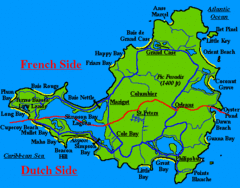
St. Maarten Beach Tourist Map
2374 miles away
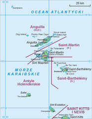
Saint Martin Map
2376 miles away
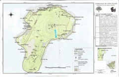
Corn Island Topo Map
2376 miles away
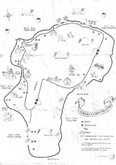
Big Corn Island Tourist Map
2376 miles away
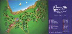
Premier Fiesta Resort and Spa Map
Fiesta Resort Map (Now Hilton)
2377 miles away
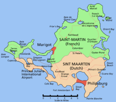
Saint Martin Map
Overview map shows entire island of Saint Martin (French) or Sint Maarten (Dutch).
2377 miles away
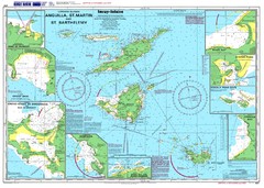
Anguilla St. Martin St. Barthelemy Nautical Map
Nautical map of Anguilla St. Martin St. Barthelemy. Shows insets of major ports.
2380 miles away
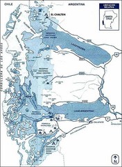
Los Glacieres Park Map
2383 miles away
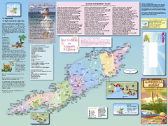
Anguilla Map
Tourist map of Anguilla Island. Shows all restaurants.
2387 miles away
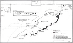
Anguilla Coral Reefs Map
Coral reef map of Anguilla Island.
2387 miles away
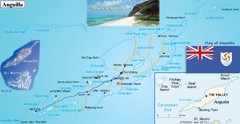
Anguilla Map
2387 miles away
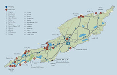
Anguilla Map
2387 miles away
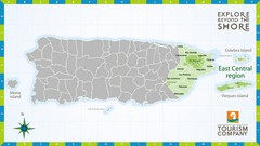
East Central Puerto Rico Map
2394 miles away
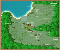
Coco Beach Tourist Map
2395 miles away

Puerto Rico Tourist Map
Tourist map for Puerto Rico showing major roads, cities and the airport.
2396 miles away
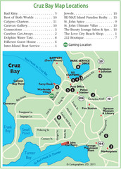
Cruz Bay St. John Map
2396 miles away
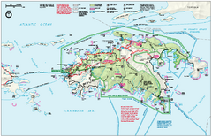
Virgin Islands National Park Map
Official NPS map of Virgin Islands National Park in the Virgin Islands. Map shows main island and...
2396 miles away
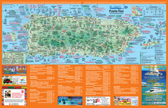
Puerto Rico Tourist Map
Map of island with detail of local tourist attractions
2396 miles away
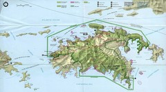
Virgin Islands National Park Tourist Map
2397 miles away
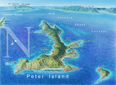
Peter Island BVI Map
2397 miles away
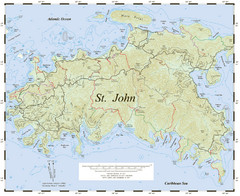
St. John Trail Map
Topographical trail map of St. John in the US Virgin Islands.
2397 miles away
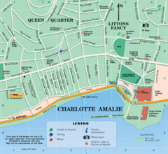
Charlotte Amalie U.S. Virgin Islands Map
2397 miles away
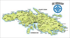
St. Thomas Island Map
Overview road map of island of St. Thomas in the U.S. Virgin Islands. Shows major roads, districts...
2397 miles away
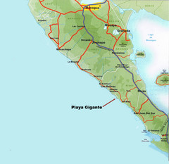
Cental America Coast Map
2397 miles away
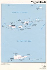
Map of the Virgin Islands
Map of the Virgin Islands
2400 miles away
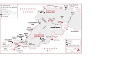
West Tortola Driving Tour Map
2401 miles away
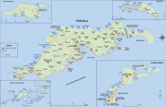
Map of Tortola Island
Tourist map of Tortola, the main island of the British Virgin Islands. Shows national parks and...
2402 miles away
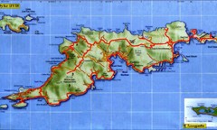
Tortola Island Map
2402 miles away
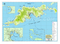
Tortola British Islands Tourist Map
Places of interest.
2402 miles away
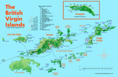
British Virgin Islands Tourist Map
Tourist map of British Virgin Islands with list of major attractions
2403 miles away
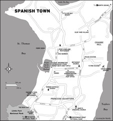
Spanish Town BVI Map
2404 miles away
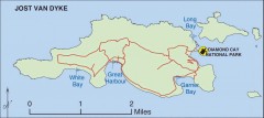
Jost Van Dyke map
Map of Jost Van Dyke island of the British Virgin Islands in the Caribbean.
2404 miles away
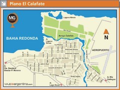
El Calafate City Map
Street map of downtown area
2404 miles away
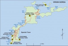
Map of Virgin Gorda
Map of Virgin Gorda in the British Virgin Islands. Shows national parks.
2405 miles away
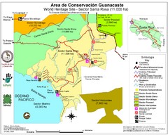
Guanacaste Conservation Area Tourist Map
Tourist map of Guanacaste Conservation Area, a World Heritage Site, in state of Guanacaste, Costa...
2406 miles away
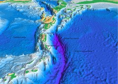
Atlantic Trench Bathymetric Map
2407 miles away
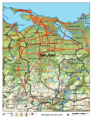
San Juan Road Map
Road map of San Juan, Puerto Rico area. Shows shaded elevation.
2408 miles away

