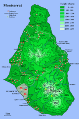
Montserrat Map
2287 miles away
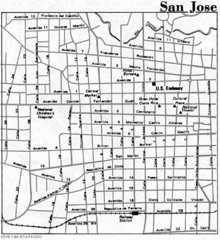
San Jose, Costa Rica City Tourist Map
2293 miles away

San Jose City Map
City map of downtown San Jose, Costa Rica
2293 miles away
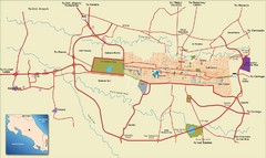
San Jose, Costa Rica Tourist Map
A street map of San Jose, Costa Rica
2294 miles away
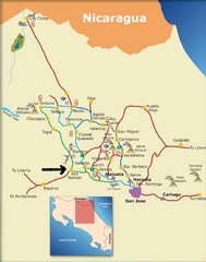
Costa Rica Tourist Map
2296 miles away
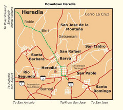
Heredia City Map
Major roads and bordering cities are marked on this map.
2298 miles away
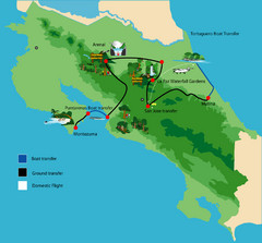
Costa Rica Tour Bus Map
2300 miles away
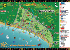
Jaco Tourist Map
2300 miles away
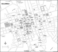
Alajuela City Map
2303 miles away
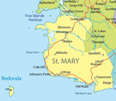
St Mary province Map
2310 miles away
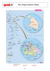
Antigua and Barbuda Regional Map
Map of island with detail of regional divides
2311 miles away
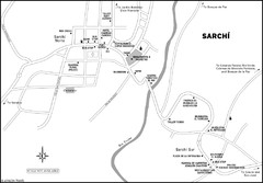
Sarchi Costa Rica Map
2313 miles away
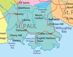
St. Paul province Map
2313 miles away
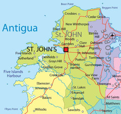
St. John province Map
2314 miles away
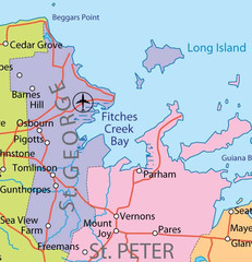
St. Peter and St. George provinces Map
2314 miles away
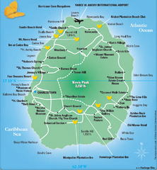
Nevis Tourist Map
Tourist map of Nevis Island, near St. Kitts. Shows inns, villages, and other points of interest.
2314 miles away
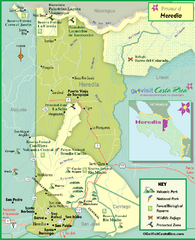
Heredia Tourist Map
Tourist map of Heredia region
2320 miles away
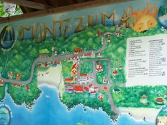
Montezuma Tourist Map
Tourist map of Montezuma, Costa Rica. Shows accomodations and other points of interest. From...
2320 miles away

St. Kitts and Nevis Map
2323 miles away

St. Kitts and Nevis dive sites Map
2326 miles away
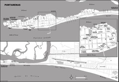
Puntarenas Costa Rica Map
2326 miles away
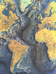
Atlantic Ocean Floor Map
2328 miles away
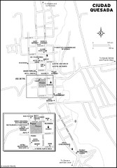
Ciudad Quesada Map
2329 miles away
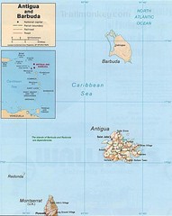
Antigua and Barbuda Map
Map of Antigua and Barbuda showing cities, roads and boundaries.
2330 miles away
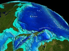
Caribbean Sea Bathymetry Map
2332 miles away
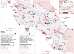
Costa Rica Nature map
Natural overview map of Costa Rica. Shows parks, beaches, adventure destinations, and bird...
2338 miles away
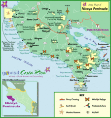
Nicoya Penninsula Tourist Map
2340 miles away

Leeward Islands Map
Guide to the Leeward Islands of the Caribbean, such as Saint Barthelemey, Saint Martin, Anguilla...
2343 miles away
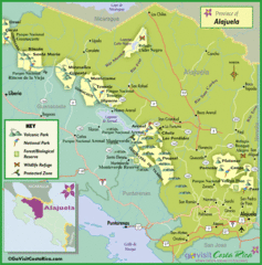
Alajuela Tourist Map
Tourist map of Alajuela region
2344 miles away
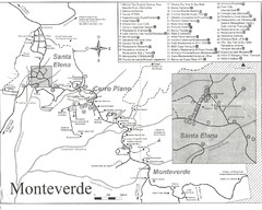
Monteverde Santa Elena Tourist Map
2345 miles away
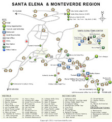
Santa Elena & Monteverde Map
2345 miles away
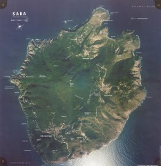
Saba aerial map
Aerial map of Saba. Shows major geological features and towns. Home of one of the world's...
2346 miles away
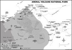
Arenal Volcano National Park Map
2348 miles away
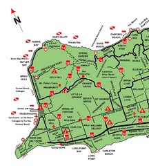
West St. Croix Map
2354 miles away
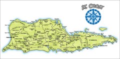
St. Croix Island Map
Overview map of island of St. Croix, US Virgin Islands. Shows districts, roads, and towns.
2354 miles away
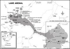
Lake Arenal Map
2355 miles away
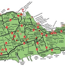
Central St. Croix Map
2355 miles away
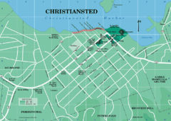
Christiansted Map
2355 miles away
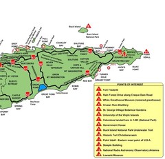
East St. Croix Map
2355 miles away
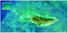
Buck Island Reef National Monument Map
Official NPS park map of Buck Island Reef National Monument off island of St. Croix in the US...
2358 miles away

