Venezuela Indigenes populations Map
1633 miles away
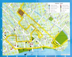
Paramaribo Suriname Tourist Map
Central Paramaribo, Suriname tourist map showing tourist sites, airports and city buildings.
1634 miles away

Guyana - Ethnic Groups, 1973 Map
1638 miles away
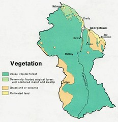
Guyana - Vegetation, 1973 Map
1638 miles away
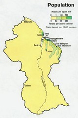
Guyana - Population 1973 Map
1639 miles away
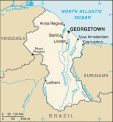
Guyana (Small Map) 2010 Map
1639 miles away

Venezuela Map
1642 miles away
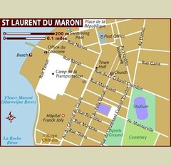
St. Laurent du Maroni Map
1643 miles away
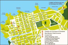
Cayenne City Map
City map of Cayenne, French Guiana. Shows a couple hotels and a workshop venue location
1658 miles away
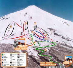
Pucón—Volcán Villarrica Ski Trail Map
Trail map from Pucón—Volcán Villarrica. This ski area has its own website.
1676 miles away
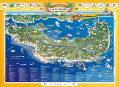
Ilha de Itaparica Tourist Map
Tourist map of Ilha de Itaparica, Brazil. In Portuguese.
1680 miles away
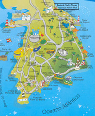
Salvador Tourism Map
1693 miles away
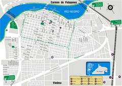
Viedma Tourist Map
Tourist street map of city
1696 miles away
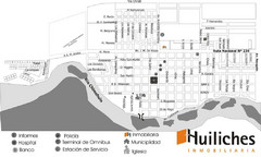
Junin de los Andes Map
Tourist street map of city
1697 miles away
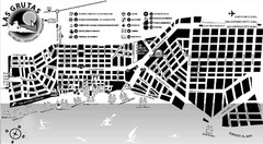
Las Grutas Tourist Map
Tourist street map of city
1698 miles away
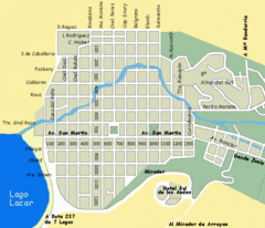
San Martin de los Andes Map
Street map of city
1715 miles away
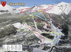
Chapelco Ski Trail Map
Trail map from Chapelco. This ski area has its own website.
1718 miles away
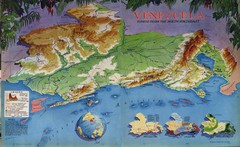
Venezuela from the North Map
Shows shaded relief of Venezuela with three thematic maps: population, states and physiograpy
1729 miles away
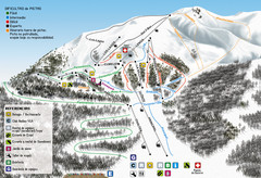
Cerro Bayo Ski Trail Map
Trail map from Cerro Bayo.
1759 miles away
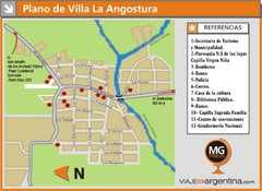
Villa la Angostura Tourist Map
Tourist street map
1760 miles away
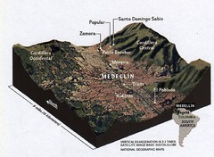
Medellin physical oblique map
From National Geographic Magazine
1761 miles away
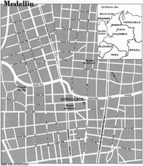
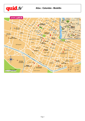
Medellin City Tourist Map
1762 miles away
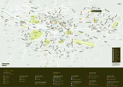
Medellin City Map
1762 miles away
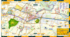
Medellin Map
1762 miles away
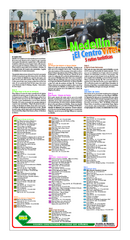
Medellin Turistico Map
1762 miles away
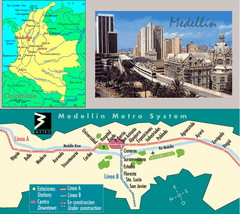
Medellin Metro Transit Map
Transportation map of metro throughout city of Medellin
1762 miles away
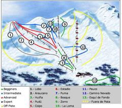
Antillanca Ski Trail Map
Trail map from Antillanca.
1768 miles away
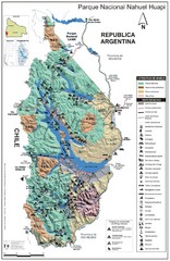
Nahuel Huapi National Park Map
Park map with detail of trails and recreation zones
1773 miles away
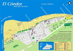
El Condor Tourist Map
Tourist street map
1778 miles away
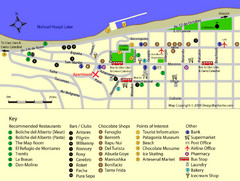
Bariloche Center Tourist Map
Tourist map of town center
1779 miles away
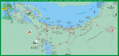
San Carlos de Bariloche Area Tourist Map
Tourist map of San Carlos de Bariloche, Argentina area in Patagonia on Lake Nahuel Huapi.
1779 miles away
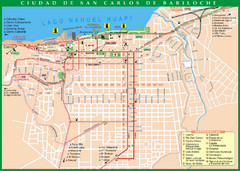
San Carlos de Bariloche Tourist Map
Tourist street map of city
1780 miles away

Bariloche Trail Map
Ski trail map
1780 miles away
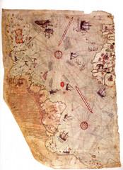
1513 Turkish Map of the Americas
First Turkish map to show Americas, summary of 20 older maps, drawn on gazelle skin. Very accurate...
1782 miles away
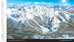
Catedral Alta Patagonia Ski Trail Map
Ski trail map of Catedral Alta Patagonia near Bariloche, Argentina
1784 miles away
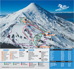
Volcán Osorno-Puerto Varas Ski Trail Map
Trail map from Volcán Osorno-Puerto Varas.
1798 miles away

