The Amazon Tourist Map
The Amazon in South America
736 miles away
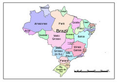
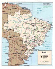
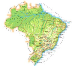
Brazil Map; Editable in Illustrator
Brazil Map, royalty free, fully editable with Illustrator. Mapsandlocations, a freelance company...
738 miles away
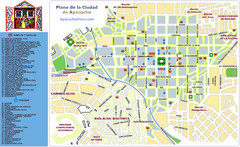
Ayacucho Tourist Map
Tourist map of town center
743 miles away
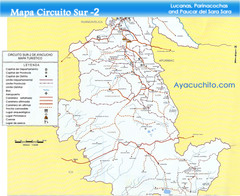
Southern Ayacucho Peru Tourist Map
Tourist Attractions, roads, cities and borders identified in Spanish.
743 miles away
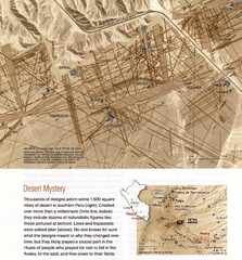
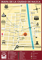
Nasca Lines Map
From National Geographic Magazine
773 miles away
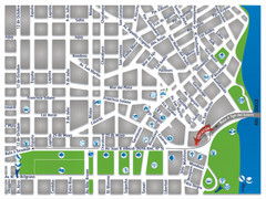
Termas De Rio Hondo Map
City street map
779 miles away
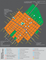
Santiago Del Estero Tourist Map
Tourist street map of city center
796 miles away
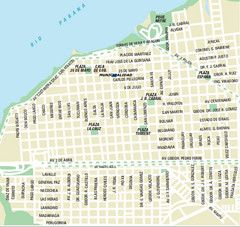
Corrientes City Map
Street map of city center
831 miles away
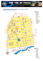
Huancayo Center Map
Map of city center with detail of local hostels
832 miles away

Mississippi Airports Map
844 miles away
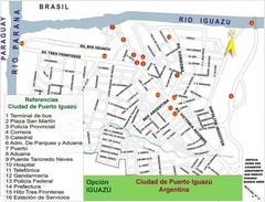
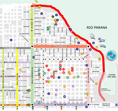
Puerto Iguazu Tourist Map
Tourist street map
867 miles away
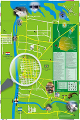
Iguacu Falls Tourist Map
Tourist map of Iguacu Falls, Brazil. Shows points of interest.
868 miles away
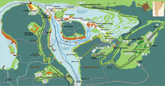
Iguazu National Park Map
Tourist map of park
874 miles away
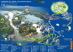
Iguasu Park Map
880 miles away
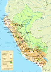
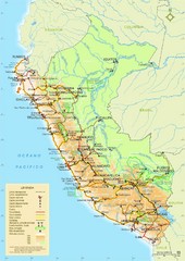
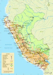
Peru Tourist Map
892 miles away
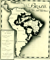
Europe inside of Brazil Map
A map from the '30s showing how Brazil could easily contain all the European countries without...
900 miles away
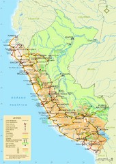
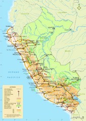
Peru Tourist Map
913 miles away
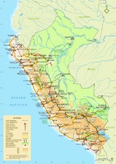
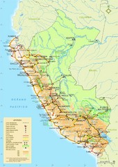
Peru Tourist Map
913 miles away
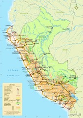
Peru Tourist Map
913 miles away
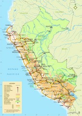
Peru Tourist Map
913 miles away
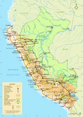
Peru Tourist Map
913 miles away
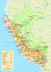
Peru Map
913 miles away
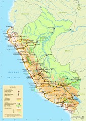
Peru Map
Map of Peru. Arequipa highlighted. In Spanish.
913 miles away
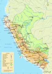
Peru National Parks map
Shows all national parks in Peru. In Spanish
913 miles away
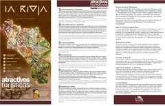
La Rioja Tourist Map
Tourist map of region
931 miles away
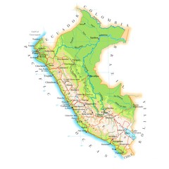
Peru Map
933 miles away
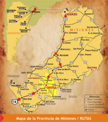
Misiones Province Map
Map of province with detail of main cities and towns
938 miles away
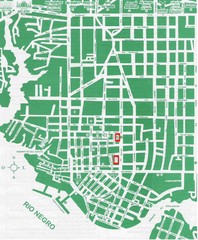
Manaus Center Map
Street map of city center
942 miles away

