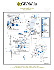
Magnolia Springs State Park Map
Map of park with detail of trails and recreation zones
291 miles away
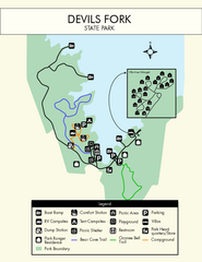
Devils Fork State Park Map
Clearly marked state park map.
292 miles away

Sassafras Ridge Panorama Map
Panoramic view from Sassafras Ridge near Cashiers, North Carolina.
292 miles away
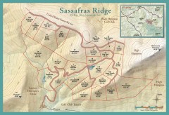
Sassafras Ridge Shaded Relief Map
This map is a shaded relief property map with survey boundaries and property roads. The map...
293 miles away
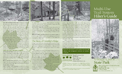
Village Creek State Park Trail Map
Trail map for hiking, bicycles and horses in Village Creek State Park.
293 miles away
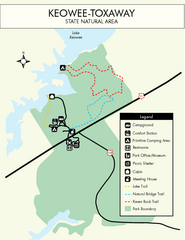
Keowee Toxaway State Park Map
Clear and detailed map of this wonderful state park.
293 miles away
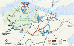
Fort Donelson National Battlefield Official Map
Official NPS map of Fort Donelson National Battlefield in Tennessee. Fort Donelson visitor center...
293 miles away
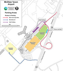
McGhee Tyson Airport Map
294 miles away
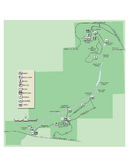
Ichetucknee Springs State Park Map
Map of park with detail of trails and recreation zones
294 miles away
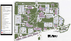
Augusta State University Map
Campus map
294 miles away
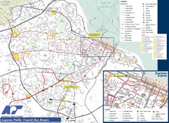
Augusta Public Transit Routes Map
Transit Route Map of the town of Augusta. Includes all streets, some important buildings, and a...
296 miles away
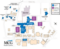
MCG Health System--Medical College of Georgia...
Color-coded map of all buildings on the Medical College of Georgia associated with the MCG Health...
296 miles away
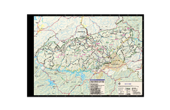
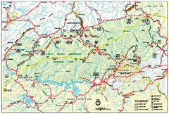
Great Smoky Mountains National Park - Trail map
Official trail map of Great Smoky Mountains National park. Shows all trails, park roads, visitor...
296 miles away
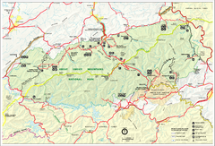
Great Smoky Mountains National Park - Park map
Official park map of Great Smoky Mountains National park. Shows location of all park roads...
296 miles away
Great Smokey Mountains National Park Trail Map
Hiking trails.
298 miles away
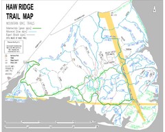
Haw Ridge Trail Map
299 miles away
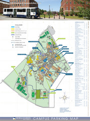
Georgia Southern University Map
Campus Map
299 miles away
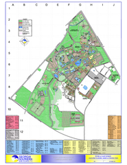
Georgia Southern University Map
Georgia Southern University Campus Map. All buildings shown.
299 miles away
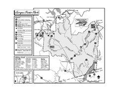
Gorges State Park map
Detailed recreation map for Gorges State Park in North Carolina
300 miles away
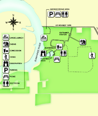
Fanning Springs State Park Map
Map of park with detail of trails and recreation zones
302 miles away
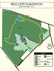
Redcliffe Plantation State Park Map
Clear map of this wonderful state park with a beautiful natural setting.
302 miles away
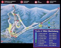
Ober Gatlinburg Ski Resort Ski Trail Map
Trail map from Ober Gatlinburg Ski Resort.
302 miles away
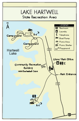
Lake Hartwell State Park Map
Clear state park map.
303 miles away
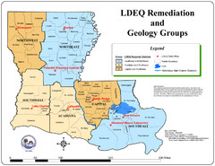
Louisiana Map
District and geological map of Louisiana
303 miles away
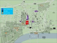
University of Tennessee Map
Map with locations of downtown Tennessee.
303 miles away

University of Tennessee Map
303 miles away
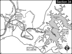
Celina, TN Dale Hollow Lake-Cumberland River Map
Celina Tennessee is the location for the head of navigation for the Cumberland River at the fork of...
304 miles away
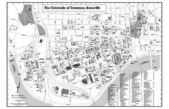
University of Tennessee Map
Campus Map of the University of Tennessee. All areas shown.
304 miles away
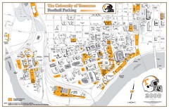
University of Tennessee Tourist Map
304 miles away
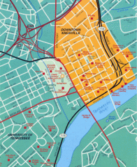
Knoxville, TN Tourist Map
304 miles away
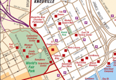
Knoxville, TN Tourist Map
304 miles away
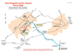
Knoxville and Oakridge Airports Map
304 miles away

Knoxville, Tennessee City Map
304 miles away
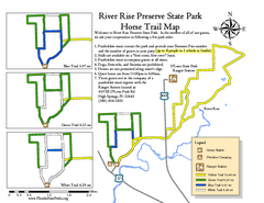
River Rise Preserve State Park Horse Trail Map
Map of horse trails throughout preserve
305 miles away
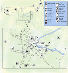
OLeno State Park Map
Map of park with detail of trails and recreation zones
305 miles away
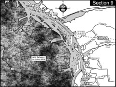
Lake Barkley-Cumberland River Map
Portion of Lake Barkley formed on the Cumberland River. In this section the state line is shown...
306 miles away
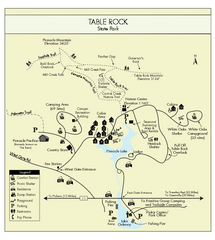
Table Rock State Park MAP
Clear and simple state park map and legend.
306 miles away
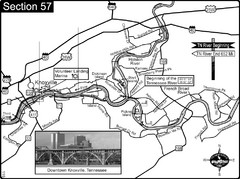
Knoxville, TN Tennessee River/Holston River...
This is the source of the Tennessee River at the confluence of the Holston River and French Broad...
306 miles away

Arkansas International Airport Map
307 miles away
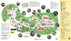
Knoxville Zoo Map
308 miles away

