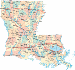
Nashville City Map
266 miles away

Midtown Nashville and West End Map
266 miles away
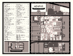
University of Memphis Map
Campus Map of the University of Memphis. All buildings shown.
267 miles away
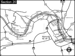
Nashville, TN-Cumberland River Map
The Cumberland River is an important waterway to the city of Nashville. Nashville is also a great...
267 miles away
Natchez National Historical Park Official Map
Official NPS map of Natchez National Historical Park in Mississippi. From park brochure. These...
268 miles away
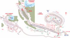
Suwanee Park Camping Map
269 miles away
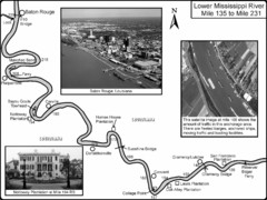
Mississippi River Mile 135 to Mile 231 Map
Historical Map from book "Mississippi River-Historical Sites and Interesting Places
269 miles away
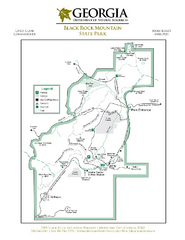
Black Rock Mountain State Park Map
Map of park with detail of trails and recreation zones
269 miles away
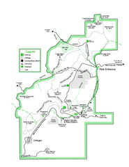
Black Rock State Park map
Detailed recreation map for Black Rock State Park in Georgia
270 miles away
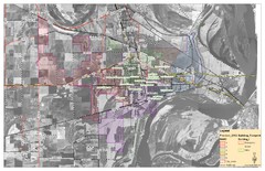
West Memphis City Map
City Map of West Memphis with ward boundaries
270 miles away
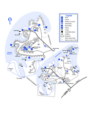
Hart State Park Map
Map of park with detail of trails and recreation zones
271 miles away
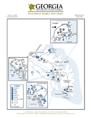
Richard B. Russell State Park Map
Map of park with detail of trails and recreation zones
272 miles away
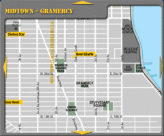
Gramercy Hotel Map
274 miles away
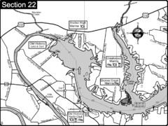
Old Hickory Lake-Cumberland River Map
Section 22 from the Cumberland River Guidebook shows the dam that forms Old Hickory Lake near...
274 miles away
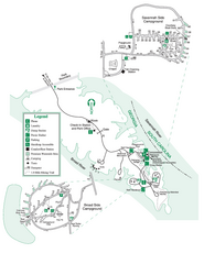
Bobby Brown State Park Map
Map of park with detail of trails and recreation zones
275 miles away
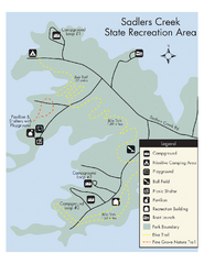
Sadlers Creek State Park Map
This simple map gives you an easy to follow layout of this amazing state park.
277 miles away
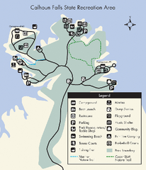
Calhoun Falls State Park Map
Clear map and detailed legend help make this map easy to read and follow.
277 miles away
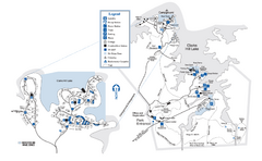
Mistletoe State Park Map
Map of park with detail of trails and recreation zones
279 miles away
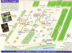
Oak Alley Plantation Map
Visitor's map of Oak Alley Plantation in Vacherie, Louisiana. Scan from old brochure.
280 miles away
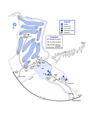
Gordonia-Alatamaha State Park Map
Map of park with detail of trails and recreation zones
280 miles away
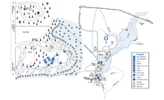
George L. Smith State Park Map
Map of park with detail of trails and recreation zones
280 miles away
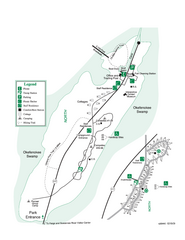
Stephen C. Foster State Park Map
Map of park with detail of trails and recreation zones
280 miles away
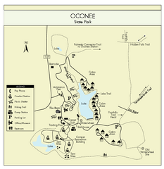
Oconee State Park Map
Beautiful state park clearly mapped with legend.
281 miles away
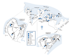
Elijah Clark State Park Map
Map of park with detail of trails and recreation zones
281 miles away
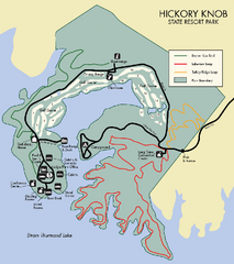
Hickory Knob State Park Map
Detailed map of this beautiful state park.
281 miles away
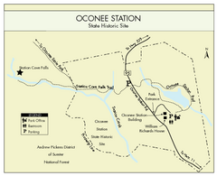
Oconee Station Map
Clear and simple map of Oconee State Park's station.
282 miles away
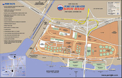
Port of Baton Rouge, Louisiana Tourist Map
282 miles away
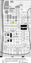
Downtown Baton Rouge, Louisiana Tourist Map
282 miles away
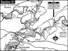
Kingston, TN Tennessee River/Clinch River/Emory...
Shows a bend on the Tennessee River at the confluence of the Clinch & Emory Rivers. For boat...
284 miles away
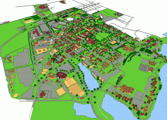
Louisiana State University Map
Louisiana State University Campus Map. All buildings shown.
284 miles away
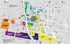
LSU Stadium and Parking Map
Guide to Louisiana State University Stadium and Parking
285 miles away
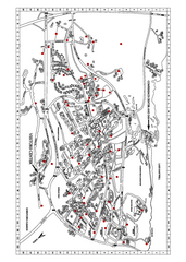
Clemson University Map
285 miles away
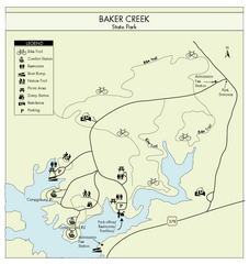
Baker Creek State Park Map
Beautiful park with wonderful views and plenty of wild life.
286 miles away
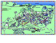
Clemson University Map
Clemson University Campus Map. All buildings shown.
286 miles away
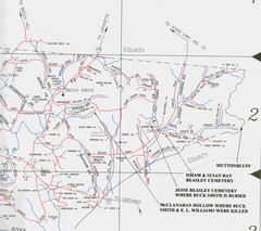
Trousdale County Muttonbluff Map
Pictured is a part of a map of Trousdale County containing the extreme northeast section. The...
287 miles away
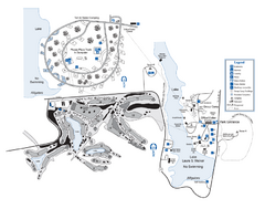
Laura S. Walker State Park Map
Map of park with detail of trails and recreation zones
287 miles away
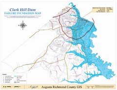
Richmond County Failure Inundation Map
Map of the flood water failure inundation of Augusta Richmond county, Georgia. Includes detailed...
289 miles away
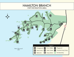
Hamilton Branch State Park Map
Simple state park map.
289 miles away
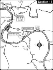
Clarksville, TN-Cumberland River Map
Cumberland River flows past Clarksville that has a great riverfront and services for traveling...
291 miles away

