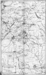
1864 Georgia Map
Used by General Sherman to guide his troops in the Civil War
184 miles away
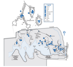
Indian Springs State Park Map
Map of park with detail of trails and recreation zones
184 miles away
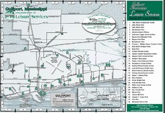
Gulfport Recreational Facilities Map
Shows parks and other recreational points of interest in Gulfport, Mississippi.
186 miles away
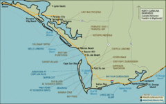
Mexico Beach, Florida Tourist Map
186 miles away
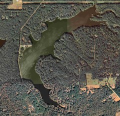
Lake Tallavana Map
Lake Tallavana aerial Map of the lake and surrounding areas.
187 miles away

Lake Tallavana Parcel Map
Lake Tallavana Parcel Map
187 miles away
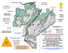
Davidson-Arabia Mountain Nature Preserve Map
Davidson-Arabia Mountain Nature Preserve is comprised of 570 acres of granite outcrop, wetlands...
187 miles away
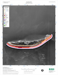
Ship Island Map
190 miles away
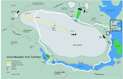
Stone Mountain Park Trail map
Trail map of Stone Mountain Park near Atlanta, GA
190 miles away
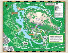
Stone Mountain State Park Map
190 miles away
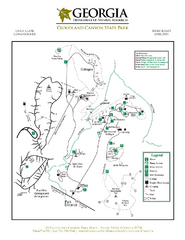
Cloudland Canyon State Park Map
Map of park with detail of trails and recreation zones
192 miles away
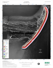
Cat Island Map
Cat Island NW Coastal Classification
194 miles away
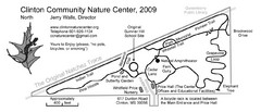
Clinton Community Nature Center Map
A relaxing walk through the Clinton Community Nature Center.
200 miles away
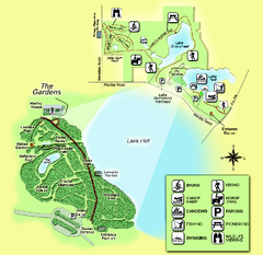
Alfred B. Maclay Gardens State Park Map
Map of park with detail of trails and recreation zones
200 miles away
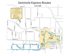
Seminole Express Bus Service Map
Bus route to Florida State University.
201 miles away
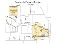
Florida State University Seminole Express Bus Map
201 miles away
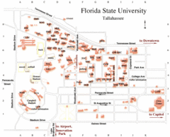
Florida State University Map
201 miles away
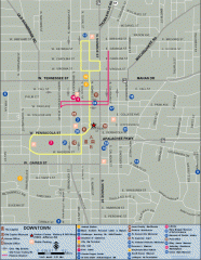
Downtown Tallahassee, Florida Map
Tourist map of downtown Tallahassee, Florida. Museums, government buildings and other points of...
202 miles away

Florida State University Map
Florida State University campus map. All buildings shown.
202 miles away
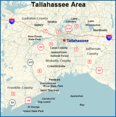
Tallahassee, Florida City Map
202 miles away
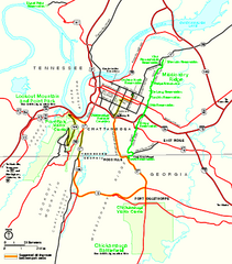
Chickamauga & Chattanooga National Military...
Official NPS map of Chickamauga & Chattanooga National Military Park in Georgia. All units of...
203 miles away
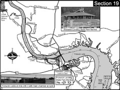
Pickwick Lake Tennessee River Map
For boating navigational information and river road travel along the Tennessee River. This map...
204 miles away
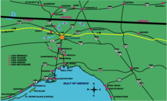
Tallahassee Freeway Map
Freeways and road leading to and from Tallahassee.
206 miles away

Abraham Balwin Agricultral College Campus Map
207 miles away
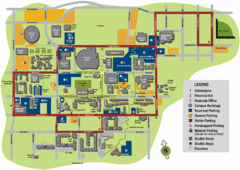
University of Tennessee Chattanooga Campus Map
Official campus map of University of Tennessee Chattanooga.
210 miles away

University of Tennessee Map
Campus map
210 miles away
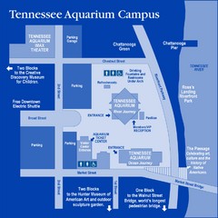
Tennessee Aquarium Campus Map
Map of Tennessee Aquarium Campus includes location of all buildings, bathrooms, parking, and...
211 miles away
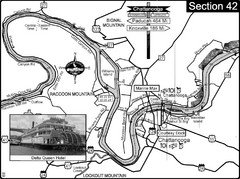
Chattanooga, TN Tennessee River Map
For boating navigational information and river road travel along the Tennessee River.
211 miles away
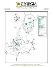
Fort Mountain State Park Map
Map of park with detail of trails and recreation zones
212 miles away
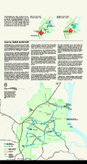
Shiloh National Military Park Official Park Map
Official NPS map of Shiloh National Military Park in Tennessee. The park is open every day except...
212 miles away
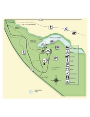
Edward Ball Wakulla Springs State Park Map
Map of park with detail of trails and recreation zones
212 miles away
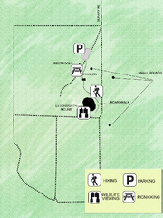
Letchworth-Love Mounds Map
Map of park with detail of trails and recreation zones
212 miles away
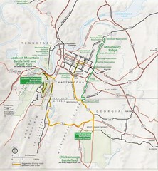
Chattanooga Guide Map
212 miles away
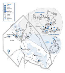
Hard Labor Creek State Park Map
Map of park with detail of trails and recreation zones
213 miles away
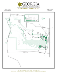
Reed Bingham State Park Map
Map of park with detail of trails and recreation zones
213 miles away
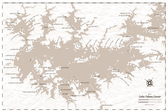
Pirate Map of Lake Sidney Lanier
Retro look pirate's map of Lake Sidney Lanier near Atlanta, Georgia
214 miles away
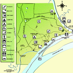
Ochlockonee River State Park Map
Map of park with detail of trails and recreation zones
215 miles away
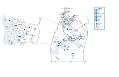
Fort Yargo State Park map
Detailed recreation and camping map for Fort Yargo State Park in Georgia
216 miles away
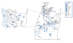
Fort Yargo State Park Map
Map of park with detail of trails and recreation zones
216 miles away
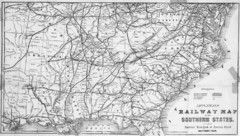
1865 Southern US States Railway Map
Guide to railroad travel in the southern United States
217 miles away

