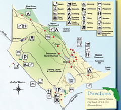
St. Andrews State Park Map
Overview map of St. Andrews State Park, #2 beach in America by TripAdvisor.com, 2008
166 miles away
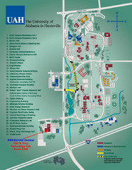
University of Alabama in Huntsville Map
Campus Map
167 miles away
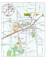
Huntsville, Alabama City Map
168 miles away
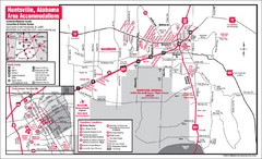
Huntsville Alabama Tourist Map
Map of Huntsville, Alabama showing hotels and streets for the downtown area.
168 miles away
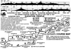
Rocket City Marathon Elevation Map
Course Map and Elevation Profile of the Rocket City Marathon in Huntsville, AL
168 miles away
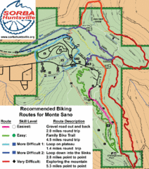
Monte Sano State Park Bike Routes Map
Recommended Biking Routes for Monte Santo with Easy to difficult routes marked.
169 miles away

Six Flags Over Georgia Theme Park Map
Official Park map of Six Flags Over Georgia in Atlanta.
169 miles away
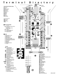
Atlanta Airport Map
169 miles away
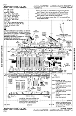
Atlanta Airport Map
169 miles away
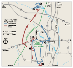
Tupelo National Battlefield Official Map
Official NPS map of Tupelo National Battlefield in Mississippi. Tupelo National Battlefield (NB...
170 miles away
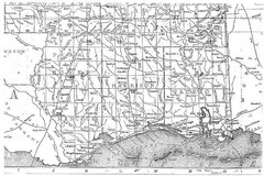
Mississippi Gulf Coast counties, 1906 Map
172 miles away
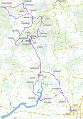
Salem Backroads Century Course Map
Route map for Salem Backroads Century bike race.
172 miles away
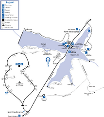
James H. Floyd State Park Map
Map of park with detail of trails and recreation zones
172 miles away

Heritage Acres RV Park Map
Map of Heritage Acres RV Park in Tuscumbia, Alabama showing lots and roos. Rows are named after...
173 miles away
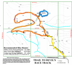
Wade Mountain Map
Recommended Bike Routes for Wade Mountain including the trail to Devil's Race Track
174 miles away
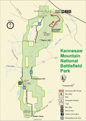
Kennesaw Moutain National Battlefield Park Map
175 miles away
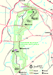
Kennesaw Mountain National Battlefield Park...
Official NPS map of Kennesaw Mountain National Battlefield Park in Georgia. We are a day use only...
175 miles away
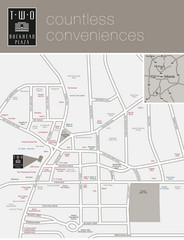
Two Buckhead Plaza/Surrounding Area Map
176 miles away
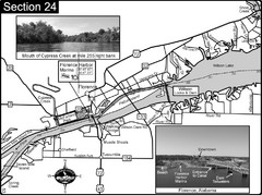
Florence, AL Tennessee River Map
For boating navigational information and river road travel along the Tennessee River. This map...
176 miles away
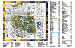
Georgia Institute of Technology Map
Georgia Institute of Technology Campus Map. All buildings shown.
176 miles away

Atlanta MARTA rail map
Official rail map of the Metropolitan Atlanta Rapid Transit Authority.
176 miles away
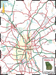
Atlanta, GA Tourist Map
176 miles away
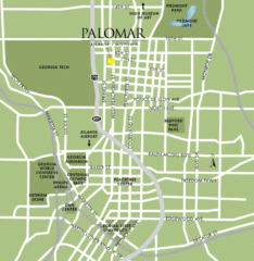
Atlanta Tourist Map
176 miles away
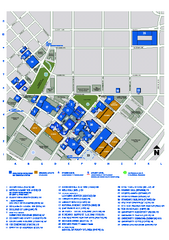
Georgia State University Map
Georgia State University Campus Map. All buildings shown.
176 miles away
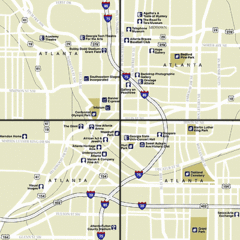
Atlanta, Georgia City Map
176 miles away
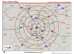
Atlanta Metro Proximity Ring Map
Shows proximity of downtown Atlanta, Georgia to surrounding areas
176 miles away
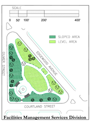
Hurt Park Map
177 miles away
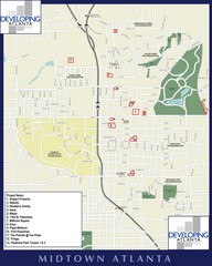
Midtown Atlanta Map
177 miles away

Bathymetric Chart of Mississippi Gulfshore...
177 miles away
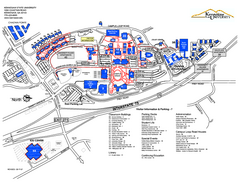
Kennesaw State University Map
Kennesaw State University Campus Map. All buildings shown.
177 miles away
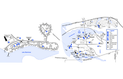
Georgia Veterans State Park Map
Map of park with detail of trails and recreation zones
177 miles away

Tishomingo State Park, Mississippi Map
This map unfortunately does not adequately represent this park which is in one of the few areas of...
178 miles away
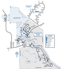
High Falls State Park Map
Map of park with detail of trails and recreation zones
178 miles away
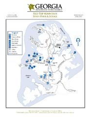
Red Top Mountain State Park Map
Map of park with detail of trails and recreation zones
180 miles away
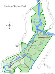
Herbert Taylor Park Map
180 miles away
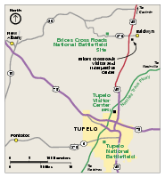
Brices Cross Roads National Battlefield Site...
Official NPS map of Brices Cross Roads National Battlefield Site in Mississippi. The grounds of the...
182 miles away
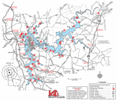
Allatoona Lake Map
182 miles away

Panola Mountain State Park Map
Map of park with detail of trails and recreation zones
183 miles away
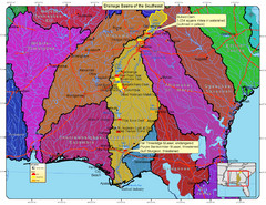
Drainage Basins of the Southeast United States Map
Lakes, rivers and dams in the Apalachicola, Chattahoochee and Flint River System.
183 miles away
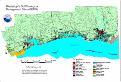
Mississippi Gulf Ecological Management Sites Map
GEMS area map
183 miles away

