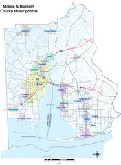
Mobile County Map
Clear map marking Mobile County and local area.
131 miles away

Mobile, Alabama City Map
131 miles away
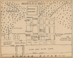
Antique map of Mobile from 1815
"Mobile in 1815" From Report on the Social Statistics of Cities, Compiled by George E...
131 miles away
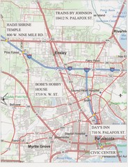
Pensacola, Florida Tourist Map
133 miles away
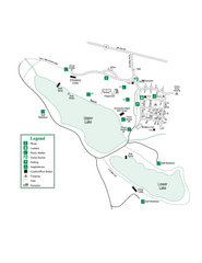
John Tanner State Park Map
Map of park with detail of trails and recreation zones
134 miles away
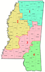
Mississippi Congressional Map
135 miles away

UWG Campus Map
136 miles away
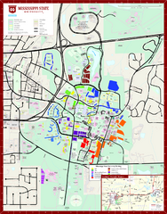
Mississippi State University Map
136 miles away
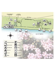
Henderson State Park Map
Map of park with detail of trails and recreation zones
136 miles away
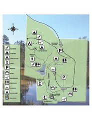
Falling Waters State Recreation Area Map
Map of park with detail of trails and recreation zones
137 miles away

Pensacola Beach Tourist Map
137 miles away
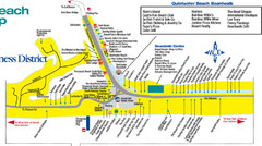
Quitewater Beach Boardwalk Map
138 miles away
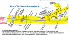
Pensacola Beach Tourist Map
138 miles away
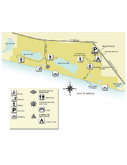
Topsail Hill Preserve State Park Map
Map of park with detail of recreation zones
140 miles away
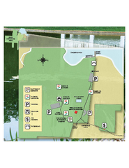
Eden Gardens State Park Map
Map of park with detail of gardens
142 miles away
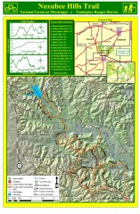
Noxubee Hills Trail Map
Shows singletrack and doubletrack trails in the Noxubee Hill trail system in Tombigbee National...
142 miles away
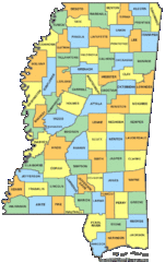
Mississippi Counties Map
143 miles away
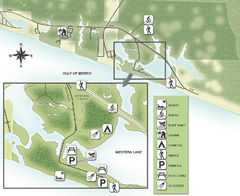
Grayton Beach State Park Map
Map of park with detail of trails and recreation zones
145 miles away
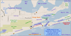
Orange Beach, Florida Beach Tourist Map
145 miles away
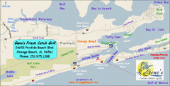
Orange Beach Tourist Map
145 miles away
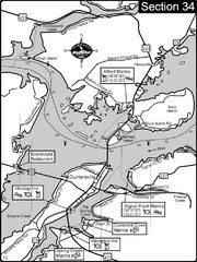
Guntersville, AL Tennessee River/Lake...
For boating navigational information and river road travel along the Tennessee River. This section...
146 miles away
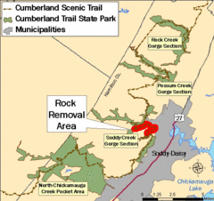
Cumberland Trail, Alabama Map
149 miles away
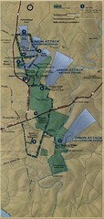
Antietam National Battelfield Map
150 miles away

Gulf Islands National Seashore Park Map
Official NPS map of the Gulf Islands National Seashore Park. Largest National Seashore in the US...
150 miles away
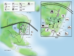
Camp Helen State Park Map
Map of park with detail of various recreation zones
151 miles away

Little River Canyon Tourist Map
Little River Canyon, Alabama
153 miles away

Mississippi & Alabama coastal area, 1732 Map
156 miles away
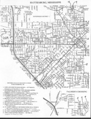
Hattiesburg, Mississippi City Map
158 miles away

Guntersville Lake Map
158 miles away
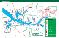
Wheeler National Wildlife Refuge Map
Map of Wheeler National Wildlife Refuge. Includes all roads, hiking trails, camp grounds and...
158 miles away
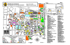
University of Southern Mississippi Map
159 miles away
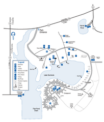
Seminole State Park Map
Map of park with detail of trails and recreation zones
159 miles away
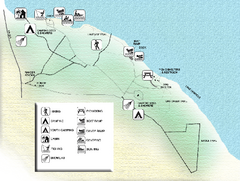
Three Rivers State Park Map
Map of park with detail of recreation zones
160 miles away
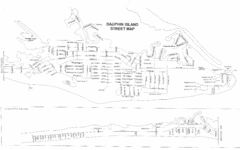
Dauphin Island Street Map
160 miles away
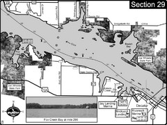
Decatur, AL Tennessee River/Wheeler Lake Map
For boating navigational information and river road travel along the Tennessee River. This section...
161 miles away
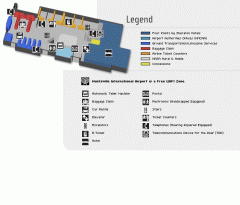
Huntsville International Airport Map
Official Map of Huntsville International Airport in Wisconsin. Shows all terminals and facilities.
161 miles away

Dauphin Island Change Detection Map
161 miles away
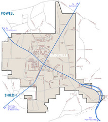
Rainsville Street Map
Chamber of Commerce Business Guide
163 miles away
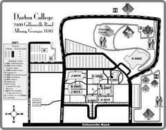
Darton College Campus Map
166 miles away
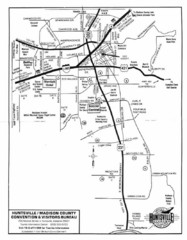
Huntsville City Map
City map of Huntsville, Alabama
166 miles away

