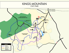
Kings Mountain State Park Map
Clearly marked state park map.
374 miles away
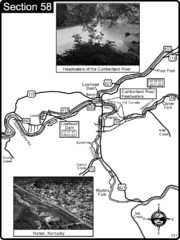
Harlan, KY-Cumberland River Headwaters Map
Section 58 of the Cumberland River Guidebook shows the beginning of the Cumberland River at the...
374 miles away
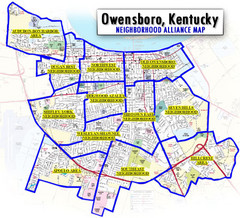
Owensboro, Kentucky City Map
376 miles away
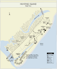
Hunting Island State Park Map
Shows facilities of Hunting Island State Park, South Carolina. Rated the #8 beach in America by...
376 miles away
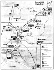
Tunnel Hill State Trail, Illinois Site Map
376 miles away
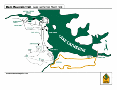
Lake Catherine State Park Trails Map
Hiking Trail map for Lake Catherine State Park also showing overview of the lake and park...
377 miles away
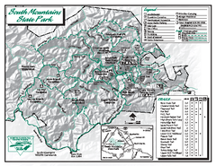
South Mountains State Park map
Detailed recrational map for South Mountain State Park in North Carolina
377 miles away
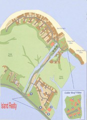
Harbor Island Real Estate Map
378 miles away
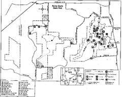
Ferne Clyffe State Park, Illinois Site Map
379 miles away
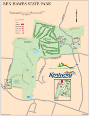
Ben Hawes State Park Map
Map of trails, facilities and golf course in Ben Hawes State Park.
379 miles away
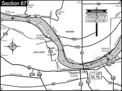
Ohio River at Owensboro, Kentucky Map
This is a page from the Ohio River Guidebook. The map shows important information for boaters and...
381 miles away
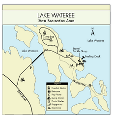
Lake Wateree State Park Map
Clear map of State Park.
381 miles away
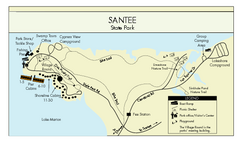
Santee State Park Map
Clear state park map.
381 miles away
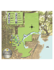
Lake Griffin State Park Map
Map of park with detail of trails and recreation zones
382 miles away
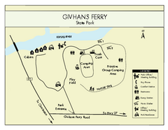
Givhans Ferry State Park Map
Map marked with shelter, phone, restrooms, picnic and more.
383 miles away
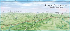
Panoramic View of Roan to Grandfather Map
This panorama takes in the vista from Roan to Grandfather mountain - overlooking the upper Linville...
383 miles away
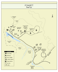
Poinsett State Park Map
Map and legend for this wonderful state park, marking bathrooms, camping grounds, roads, and more.
383 miles away
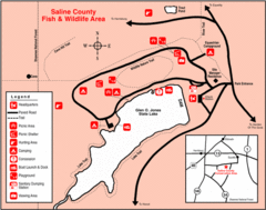
Saline County State Fish & Wildlife Area...
384 miles away
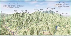
Panoramic Map of the Highlands of Roan (from TN)
Panoramic map of the Highlands of Roan as seen from Tennessee.
384 miles away

Roan Mountain Panorama Map
Panoramic Map of the View from the Baud Family Cabin of Roan Mountain, TN. The view overlooks...
384 miles away
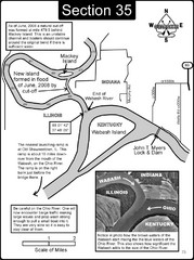
Mount Vernon, IN Wabash River & Ohio River Map
This is a page from the Wabash River Guidebook. The map shows important information for boaters and...
384 miles away
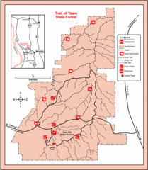
Trail of Tears State Park, Illinois Map
385 miles away
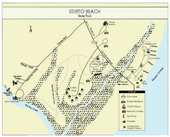
Edisto Beach State Park Map
Clearly labeled map of this beautiful state park.
385 miles away
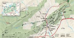
Hot Springs National Park map
Official NPS map of Hot Springs National Park in Hot Springs, Arkansas.
386 miles away
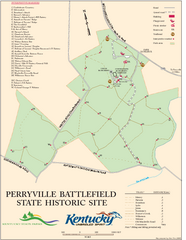
Perryville Battlefield State Historic Site Map
Map of trails and interpretive markers for the historical site of Perryville Battlefield.
386 miles away
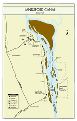
Landsford Canal State Park Map
Clear map with detailed legend marking this beautiful state park.
386 miles away
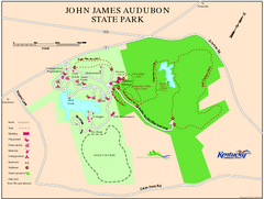
John James Audubon State Park Map
Map of trails, facilities and historical sites in John James Audubon State Park.
386 miles away
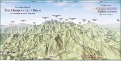
Panoramic Map of the Highlands of Roan (from NC)
Panoramic Map of the Roan Mountain Highlands as seen from North Carolina.
387 miles away
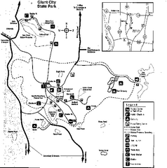
Giant City, Illinois Site Map
388 miles away
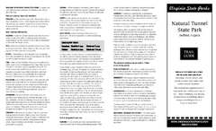
Natural Tunnel State Park Map
Detailed and informative state park map and legend.
388 miles away
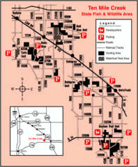
Ten Mile Creek State Wildlife Area, Illinois Site...
388 miles away
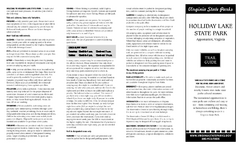
Holiday Lake State Park Map
Easy to read state park map.
389 miles away
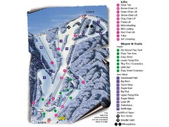
Sugar Mountain Resort Ski Trail Map
Trail map from Sugar Mountain Resort.
390 miles away
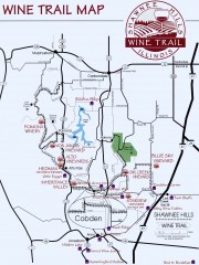
Shawnee Hills Wine Trail Map
Wineries in the Shawnee Hills area of Illinois.
390 miles away
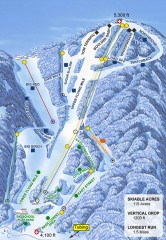
Sugar Mountain Ski Trail Map
Official ski trail map of Sugar Mountain ski area
391 miles away
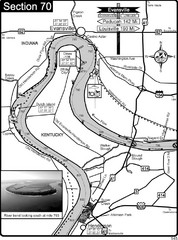
Ohio River at Evansville, IN and Henderson, KY Map
This is a page from the Ohio River Guidebook. The map shows important information for boaters and...
391 miles away
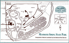
Mammoth Spring State Park Map
392 miles away
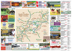
Avery County Attractions Map
Avery County Attractions Map
392 miles away

Avery County Restaurants Map
Avery County Tourist Map
392 miles away

