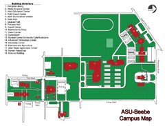
Arkansas State University-Beebe Campus Map
Campus map of Arkansas State University's Beebe campus.
344 miles away

Central Kentucky Trail Map
344 miles away
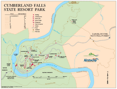
Cumberland Falls State Resort Park map
Detailed recreation map for Cumberland Falls State Resort Park in Kentucky
345 miles away
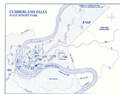
Cumberland Falls State Resort Park Map
Cumberland Falls Park Area Map
345 miles away
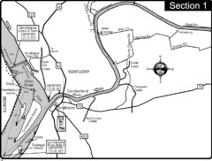
Smithland, KY Cumberland & Ohio Rivers Map
This is the mouth (end) of the Cumberland River as it pours into the Ohio River after flowing 695...
346 miles away
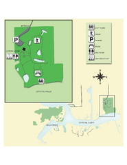
Crystal River Archeological State Park Map
Map of park with detail of trails and recreation zones
346 miles away
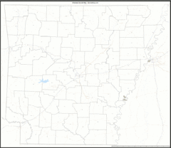
Arkansas Zip Code Map
Check out this Zip code map and every other state and county zip code map zipcodeguy.com.
346 miles away
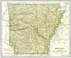
Old Arkansas Map
Old 1892 historical map in great condition.
346 miles away
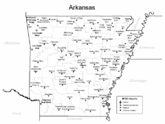
Arkansas Airports Map
346 miles away
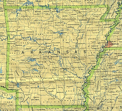
Arkansas County Map
Arkansas divided into counties
346 miles away
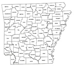
Arkansas Historical County Map
Historical County Map of Arkansas from 1936
346 miles away
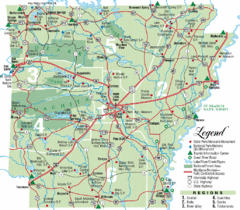
Arkansas State Park Map
Map highlights Arkansas State Parks and tourist areas including towns and major roads.
346 miles away
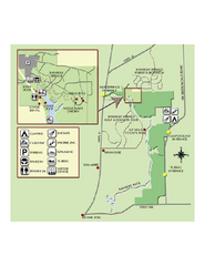
Rainbow Springs State Park Map
Map of park with detail of recreation zones
347 miles away
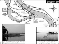
Ohio River at Cairo, IL and the Mississippi River...
The Ohio River ends at it's confluence with the Mississippi River at mile 981. This is a page...
348 miles away
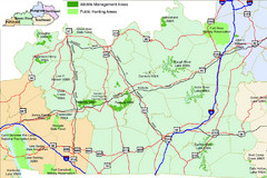
Green River Area Hunting Map
Map marking highways, forests, parks and hunting zones in Kentucky's beautiful Green River...
348 miles away
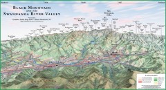
Black Mountain Panorama map
Panoramic map of the Black Mountain, NC and Swannanoa River Valley. Shows all mountains with...
348 miles away
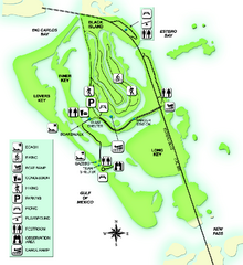
Lovers Key State Park Map
Map of park with detail of trails and recreation zones
348 miles away

South Carolina Counties Map
349 miles away
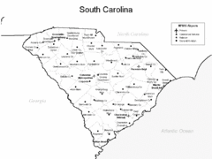
South Carolina Airports Map
349 miles away
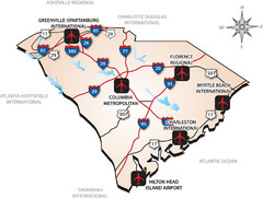
South Carolinas Airports Map
349 miles away
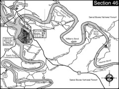
Burnside, KY-Cumberland River Map
Burnside, Kentucky is located at the fork of the Cumberland River and the South Fork. This is...
349 miles away
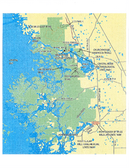
Crystal River Preserve State Park Map
Map of park with detail of recreation zones
349 miles away
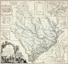
James Cook's South Carolina Map
English cartographer and explorer James Cook's 1773 map of English colony of South Carolina...
350 miles away
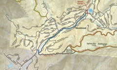
Montreat trail map
Detailed guide to the trail system surrounding the village of Montreat, NC.
350 miles away
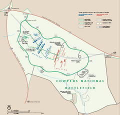
Cowpens National Battlefield Official Map
Official NPS map of Cowpens National Battlefield in South Carolina. Open 9:00 a.m. - 5:00 p.m...
352 miles away
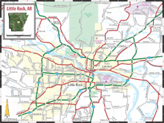
Little Rock, Arkansas City Map
352 miles away
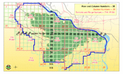
Little Rock City Map
City map of Little Rock, Arkansas with section designations
352 miles away
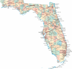
Florida Road Map
353 miles away
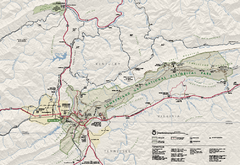
Cumberland Gap National Historical Park Official...
Official NPS map of Cumberland Gap National Historical Park in Virginia-Tennessee-Kentucky. Map...
354 miles away
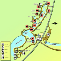
Homosassa Springs Wildlife State Park map
Map of park with detail of trails and recreation zones
354 miles away
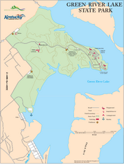
Green River Lake State Park Map
Map of trails and facilities in Green River Lake State Park.
354 miles away
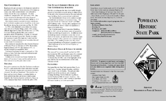
Powhatan Historic State Park Map
Map of the historic buildings of Powhatan State Park.
355 miles away
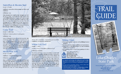
Lake Charles State Park Trail Map
Map of trails for Lake Charles State Park including othe park sites and amenities.
355 miles away

Wolf Laurel Ski Resort Ski Trail Map
Trail map from Wolf Laurel Ski Resort.
355 miles away
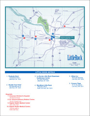
Little Rock Map
356 miles away
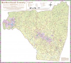
Tourist map of Rutherford County
Map of Rutherford County with detail panels for Rutherfordton, Spindale, Forest City, and Lake Lure.
356 miles away
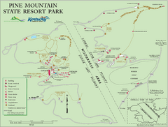
Pine Mountain State Resort Park Map
Map of trails and facilities in Pine Mountain State Resort Park .
356 miles away

Citrus County, Florida Map
Tourist map of Citrus County, Florida. Shows parks, trails, museums, and other points of interest.
356 miles away
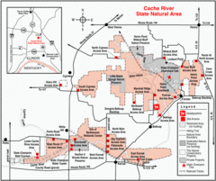
Cache River, Illinois Site Map
356 miles away

