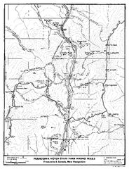
Franconia Notch Hiking Map
Map of hiking trails around Fanconia Notch State Park New Hampshire.
770 miles away
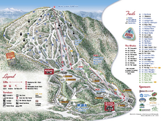
Burke Mountain Ski Trail Map
Official ski trail map of Burke Mountain ski area.
770 miles away
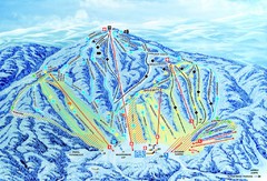
Gunstock Ski Area Ski Trail Map
Trail map from Gunstock Ski Area.
771 miles away
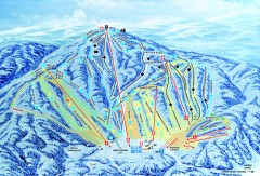
Gunstock Ski Trail Map
Ski trail map of Gunstock Mountain ski area
771 miles away
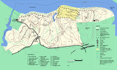
Maudslay State Park trail map
Trail Map of Maudslay State Park in Massachusetts.
771 miles away
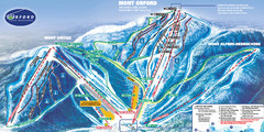
Mont Orford Ski Trail Map
Trail map from Mont Orford, which provides downhill and nordic skiing. This ski area has its own...
771 miles away
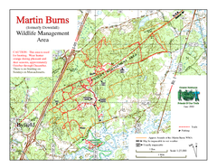
Downfall/Martin Burns WMA Map
772 miles away
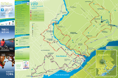
Trois-Rivières Cycling Map
Cycling route map of Trois-Rivières area. Shows multiple routes and hotels.
772 miles away
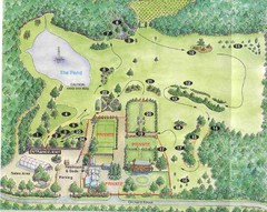
Newbury Perrenial Gardens Guide Map
772 miles away
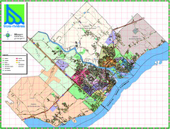
Trois Rivieres City Map
773 miles away
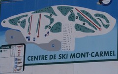
Mont Carmel Ski Trail Map
Trail map from Mont Carmel.
775 miles away
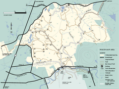
Willowdale State Forest map of Pine Swamp
Trail map of the Pine Swamp area of Willowdale State Park in Massachusetts.
775 miles away
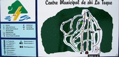
Ski La Tuque Ski Trail Map
Trail map from Ski La Tuque.
775 miles away
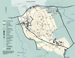
Bradley Palmer State Park summer map
Summer use map of Bradley Palmer State Park in Massachusetts
775 miles away
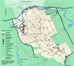
Bradley Palmer State Park winter map
Winter trail map of Bradley Palmer State Park.
775 miles away
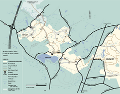
Willowdale State Forest map of Hood Pond
Trail map of the Hood Pond area of the Willowdale State Park in Massachusetts.
777 miles away
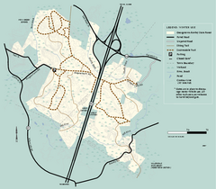
Georgetown-Rowley State Forest winter use map
Winter use map for the Georgetown-Rowley State Forest in Massachusetts.
777 miles away
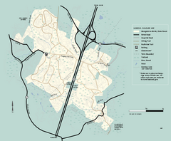
Georgetown-Rowley State Forest summer use map
Summer use map for Georgetown-Rowley State Forest.
777 miles away
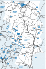
Caledonia County Map
778 miles away
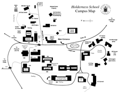
Holderness School Campus Map
A Campus Map of the Holderness School
779 miles away
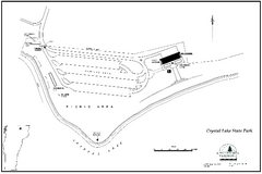
Crystal Lake State Park Map
Trail map of Crystal Lake State Park in Vermont
779 miles away
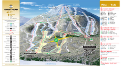
Owl’s Head Ski Trail Map
Trail map from Owl’s Head, which provides downhill skiing. This ski area has its own website.
779 miles away
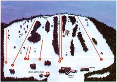
Ski Bradford Ski Trail Map
Trail map from Ski Bradford.
780 miles away
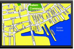
Salem, Massachusetts Guide Map
780 miles away
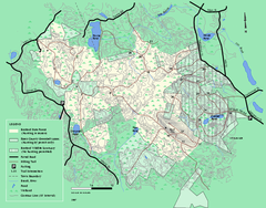
Boxford State Park trail map
Trail map of Boxford State Forest in Massachusetts
781 miles away
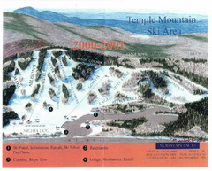
Temple Mountain Last year open—Credited to...
Trail map from Temple Mountain. This ski area opened in 1937.
781 miles away
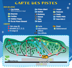
La Vallee du Parc Ski Trail Map
Trail map from La Vallee du Parc, which provides downhill and nordic skiing. This ski area has its...
782 miles away
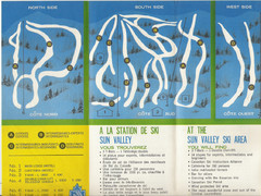
Sun Valley Credit to chris lundquist Ski Trail Map
Trail map from Sun Valley, which provides downhill skiing.
782 miles away

Cape Cod Hospital Map
Map of external vicinity of Cape Cod Hospital
782 miles away
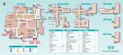
Cape Cod Hospital Map
Campus map of Cape Cod Hospital
782 miles away
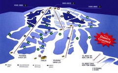
Mont Glen Ski Trail Map
Trail map from Mont Glen, which provides downhill skiing. This ski area has its own website.
782 miles away
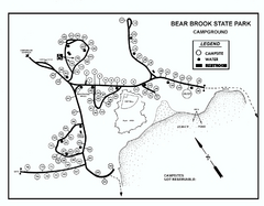
Bear Brook State Park Campground map
Campground map of Bear Brook State Park in New Hampshire
783 miles away
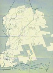
Bear Brook Trails Map
Bear Brook Park Trails and Park map in New Hampshire
783 miles away
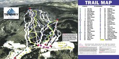
Tenney Mountain Ski Trail Map
Trail map from Tenney Mountain.
784 miles away
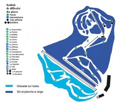
St-Mathieu les Cantons Ski Trail Map
Trail map from St-Mathieu les Cantons.
784 miles away
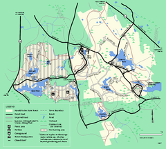
Harold Parker State Forest trail map
Trail map of Harold Parker State Forest in Massachusetts
785 miles away
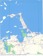
Hull Town Map
786 miles away
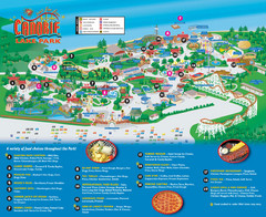
Canobie Lake Park Map
787 miles away
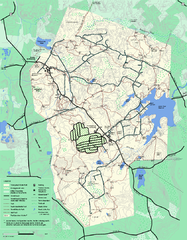
Wompatuck State Park trail map
Trail map of Wompatick State Park in Massachusetts.
788 miles away
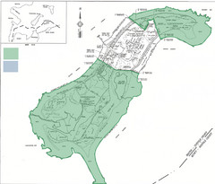
Thompson Island Easement Map
Map of Thompson Island easement. Includes roads, buildings, trails and attractions as well as the...
788 miles away

