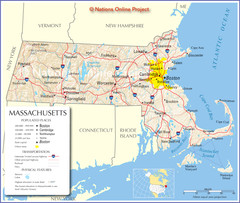
Massachusetts Road Map
0 miles away
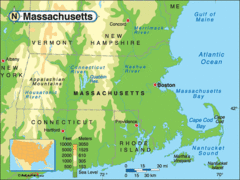
Massachusetts Rivers, Lakes, Mountains and...
0 miles away
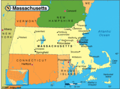
Massachusetts Cities Map
0 miles away
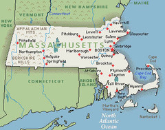
Massachusetts Cities and Mountains Map
0 miles away
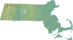
Maryland Relief Map
0 miles away
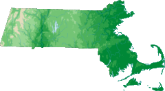
Massachusetts Elevations Map
0 miles away
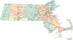
Massachusetts Road Map
0 miles away
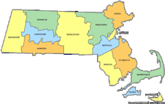
Massachusetts Counties Map
0 miles away
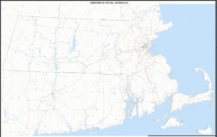
Massachusetts Zip Code Map
Check out this Zip code map and every other state and county zip code map zipcodeguy.com.
0 miles away
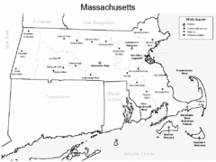
Massachusetts Airports Map
0 miles away
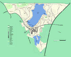
Walden Pond State Reservation trail map
Trail map of Walden Pond State Reservation
3 miles away
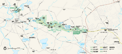
Minute Man National Historical Park Official Map
Official NPS map of Minute Man National Historical Park in Massachusetts. Map shows all areas. The...
5 miles away
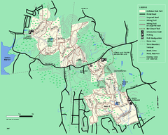
Callahan State Park trail map
Trail map of Callahan State Park in Massachusetts
7 miles away
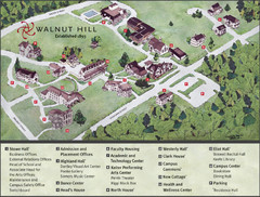
Walnut Hill School Map
Campus Map
8 miles away
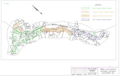
Town of Lexington Historic Districts Map
Identifies the 4 historical districts of Lexington, Massachusetts.
8 miles away
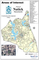
Natick Areas Of Interest Map
Shows points of interest in town of Natick, Massachusetts. Inset of downtown Natick.
9 miles away
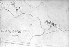
1870s Map of Wellesley College
General plan of college grounds, 1870s.
9 miles away
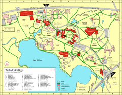
Wellesley College campus map
2008 Wellesley College campus map
9 miles away
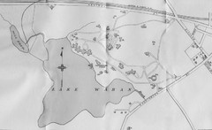
1899 Map of Wellesley College
After College Hall, the original site of Wellesley's faculty, students, classrooms, and...
9 miles away
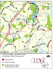
Delaney Conservation Land Map
9 miles away
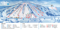
Nashoba Valley Ski Area Ski Trail Map
Trail map from Nashoba Valley Ski Area.
10 miles away
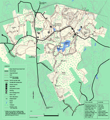
Great Brook Farm State Park trail map
Trail map of Great Brook Farm State Park.
10 miles away
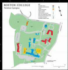
Boston College Newton Campus Map
campus map for Boston College Newton Campus
11 miles away
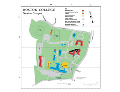
Boston College - Newton Campus Map
Boston College - Newton Campus Map. Shows all buildings.
11 miles away
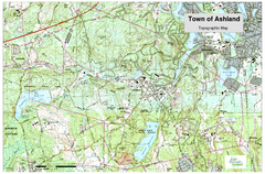
Ashland, MA - Topo Map
Map is provided by the town of Ashland, MA. See town's website for additional maps and...
11 miles away
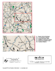
Greater Merrimack Valley, Massachusetts Map
Tourist map of greater Merrimack Valley, Massachusetts. Lodging, forests, and other points of...
11 miles away
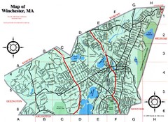
Winchester Town Map
11 miles away
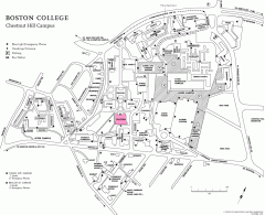
Boston College Chestnut Hill Campus Map
campus map for Boston College's Chestnut Hill Camps
12 miles away
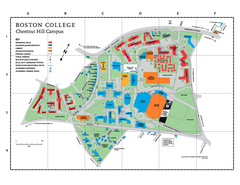
Boston College Main Chestnut Hill Campus Map
The main campus of Boston College, Chestnut Hill. Grid Map with Building Table
12 miles away
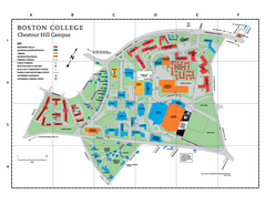
Boston College - Chestnut Hill Campus Map
Boston College - Chestnut Hill Campus Map. Shows all buildings.
12 miles away
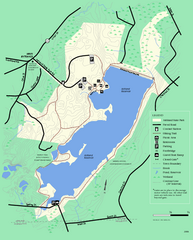
Ashland State Park Map
Clear map and legend marking trails, parking, facilities and more.
12 miles away
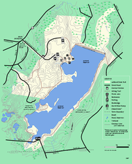
Ashland State Park Map
Map of Ashland State Park in Massachusetts.
12 miles away
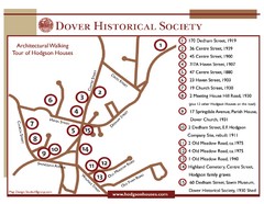
Dover Architectural Walking Map
Architectural walking tour of Hodgson Houses
12 miles away
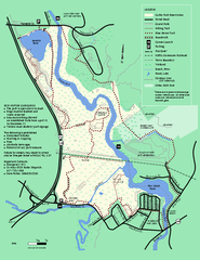
Cutler Park Reservation trail map
Trail map of Cutler Park Reservation in Massachusetts
13 miles away
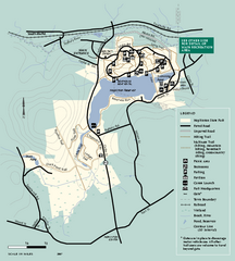
Hopkinton State Park trail map
Trail map of Hopkinton State Park in Massachusetts
13 miles away
Hopkinton State Park trail map
Trail map of Hopkinton State Park in Massachusetts
13 miles away
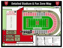
Harvard Stadium Map
Beautiful map of the horse-shoe shaped stadium of Harvard University.
13 miles away
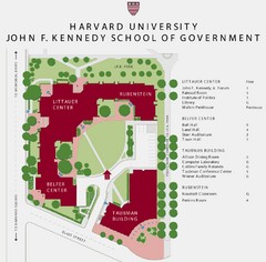
John F. Kennedy School of Government Campus Map
Campus map of the Harvard University John F. Kennedy School of Government in Cambridge...
14 miles away
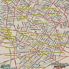
Cambridge, Massachusetts Map
14 miles away
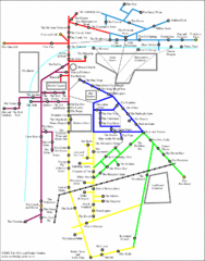
Cambridge Pub Map
14 miles away


 Explore Maps
 Map Directory
