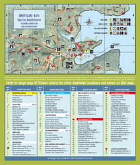
Bownen Island Tourist Map
1974 miles away

Bowen Island 3D Aerial Map
3d aerial map of Bowen Island, BC
1974 miles away
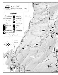
Cypress Provincial Park Map
Park map of Cypress Provincial Park, BC. Home of the North Shore Mountains. 2 pages.
1977 miles away
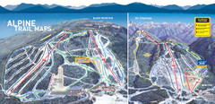
Cypress Mountain Ski Trail Map
Official ski trail map of Cypress Mountain ski area from the 2007-2008 season. Official freestyle...
1977 miles away
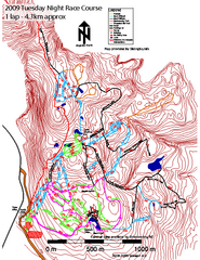
Cypress Mountain Tuesday Night Race Course Ski...
Trail map from Cypress Mountain, which provides downhill, night, nordic, and terrain park skiing...
1977 miles away
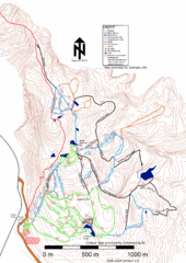
Cypress Mountain Nordic (Skiingbc.info Topo...
Trail map from Cypress Mountain, which provides downhill, night, nordic, and terrain park skiing...
1977 miles away
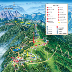
Grouse Mountain Summer Trail Map
Summer trail map of Grouse Mountain Resort near Vancouver, BC.
1981 miles away
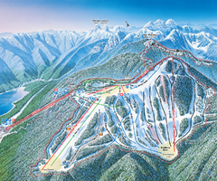
Grouse Mountain Ski Trail Map
Trail map from Grouse Mountain, which provides downhill, night, and terrain park skiing. It has 5...
1981 miles away
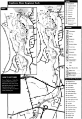
Capilano River Park Trail Map
Trail map of Capilano River Regional Park near Vancouver, BC
1982 miles away
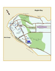
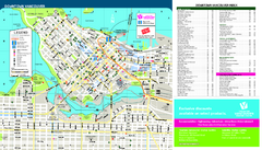
Downtown Vancouver Map
1983 miles away
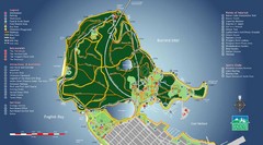
Stanley Park Map
1984 miles away
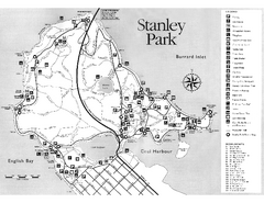
Stanley Park Trail Map
Trail map of Stanley Park near downtown Vancouver, BC. Shows monuments.
1984 miles away
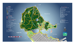
Stanley Park Map
Overview trail map of Stanley Park in Vancouver, BC.
1984 miles away
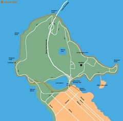
Stanley Park Map
1984 miles away
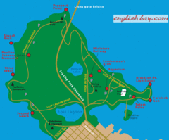
Stanely Park Map
1984 miles away
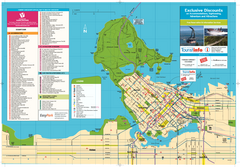
Map of Greater Vancouver
Tourism Vancouver's official map of Greater Vancouver. Shows accomodations, attractions...
1985 miles away
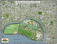
MacArthur Island Park Map
Park map of MacArthur Island Park in the Thompson River in Kamloops, BC. Shows Rivers Trail...
1985 miles away
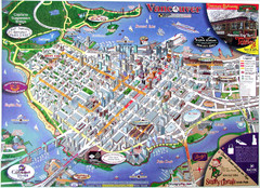
Vancouver Downtown Map
Panoramic tourist map of downtown Vancouver, BC. Shows major buildings in 3D.
1985 miles away
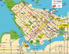
Vancouver Downtown Map
Detailed street map of Downtown Vancouver
1985 miles away
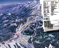
Mount Seymour Ski Trail Map
Trail map from Mount Seymour, which provides downhill, night, and terrain park skiing. It has 5...
1985 miles away
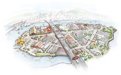
Granville Island Map
1986 miles away
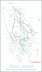
Thetis Island Map
Thetis Island map showing roads, properties, and the community trail.
1986 miles away
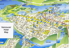
Vancouver Hotels Map
1986 miles away
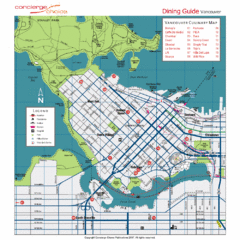
Downtown Vancouver Map
1986 miles away
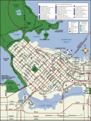
Vancouver Map
Street map of Vancouver
1986 miles away
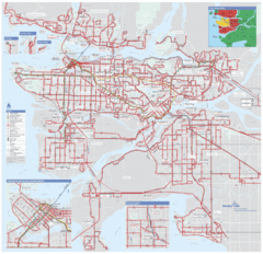
Vancouver Regional Transportation System Map
1986 miles away
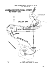
Vancouver Locational Map
Visitor Information Map includes directions from the Vancouver International Airport to the...
1987 miles away
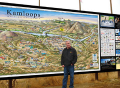
Kamloops tourist info map by Jean-Louis Rheault
Tourist map of Kamloops, British Columbia. Photo of 20 foot sign with the cartographer, Jean-Louis...
1987 miles away
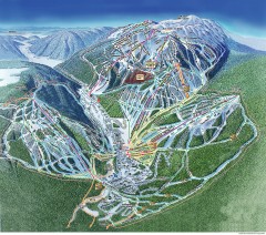
Sun Peaks Ski Trail Map
Official ski trail map of Sun Peaks ski area from the 2006-2007 season.
1987 miles away
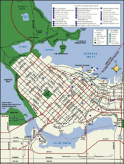
Vancouver Tourist Map
Tourist map of downtown Vancouver
1987 miles away
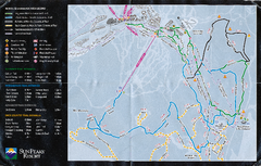
Sun Peaks Resort Nordic Ski Trail Map
Trail map from Sun Peaks Resort, which provides downhill, nordic, and terrain park skiing. This ski...
1988 miles away
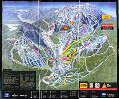
Sun Peaks Resort Ski Trail Map
Trail map from Sun Peaks Resort, which provides downhill, nordic, and terrain park skiing. This ski...
1988 miles away
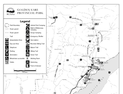
Golden Ears Provincial Park Map
Park map of Golden Ears Provincial Park, BC. 2 pages.
1988 miles away
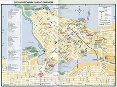
Vancouver Map
1989 miles away
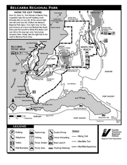
Belcarra Regional Park Trail Map
Trail map of Belcarra Regional Park, BC
1989 miles away

West Coast Trail Map
1990 miles away
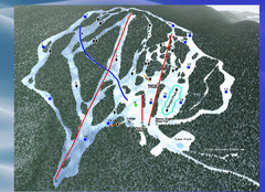
2004–09 Harper Mountain Map
Trail map from Harper Mountain, which provides downhill and nordic skiing. This ski area has its...
1990 miles away
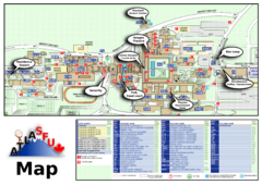
Simon Fraser University Campus Map
Simon Fraser University Campus Map includes the location of all buildings, bus stops, emergency...
1991 miles away

