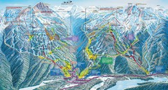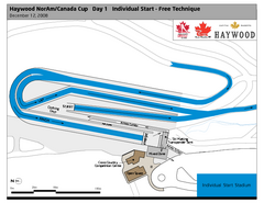
Whistler Olympic Park (Callaghan Nordic Centre...
Trail map from Whistler Olympic Park (Callaghan Nordic Centre), which provides night and nordic...
1939 miles away
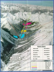
Cayoosh Resort (Melvin Creek) Ski Trail Map
Trail map from Cayoosh Resort (Melvin Creek), which provides downhill skiing.
1942 miles away
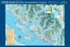
Sunshine Coast Recreation Map
Recreation map of the Sunshine Coast in BC. Shows trails for hiking (in yellow) and mountain...
1943 miles away
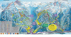
Trail Map Whistler Blackcomb
Map of all trails and ski runs at Whistler and Blackcomb mountains. Includes detailed information...
1943 miles away
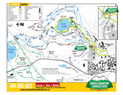
Lost Lake, Whistler Hiking and Biking Trail Map
1944 miles away
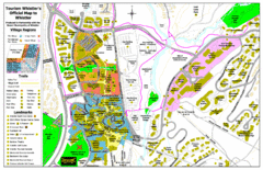
Whistler Village Map
1944 miles away
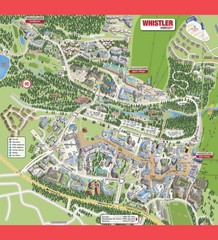
Whistler Village Map
1944 miles away
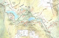
Whistler, CA Hiking and Biking Trails Map
1944 miles away
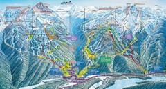
Whistler Blackcomb Trail Map
1944 miles away
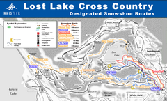
Whistler Cross Country Connection Snowshoeing Ski...
Trail map from Whistler Cross Country Connection.
1944 miles away
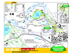
Whistler Cross Country Connection 2006–07...
Trail map from Whistler Cross Country Connection.
1944 miles away

Creekside Map
Tourist map of Creekside Village
1944 miles away
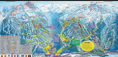
Whistler Blackcomb Ski Resort Map
Ski runs, lifts and amenities on the resort map
1944 miles away
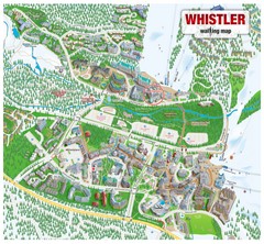
Whistler Village Map
1944 miles away
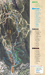
Whistler Blackcomb (Garibaldi Lift Co.) Biking...
Trail map from Whistler Blackcomb (Garibaldi Lift Co.), which provides downhill, night, and terrain...
1945 miles away
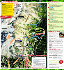
Whistler Blackcomb (Garibaldi Lift Co.) Hiking...
Trail map from Whistler Blackcomb (Garibaldi Lift Co.), which provides downhill, night, and terrain...
1945 miles away
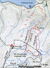
Mt. Arrowsmith Park CPR Historic Trail Map
Trail map of Mt. Arrowsmith Regional Park CPR Historic Trail, Vancouver Island
1946 miles away
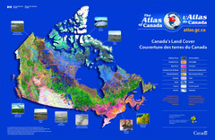
Canada Land Cover Map
Shows color-coded land cover regions of Canada. In French and English.
1946 miles away
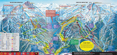
Whistler Blackcomb Ski Trail Map 2007-2008
Official ski trail map of the Whistler Blackcomb ski area from the 2007-2008 season. Site of Alpine...
1946 miles away
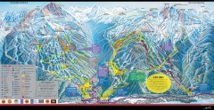
Whistler Blackcomb Ski Trail map 2005-06
Official ski trail map of the Whistler Blackcomb ski area from the 2005-2006 season. Site of the...
1947 miles away
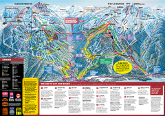
Whistler Blackcomb Trail map 2010-2011
Official ski trail map Whistler Blackcomb for the 2010-2011 season.
1947 miles away
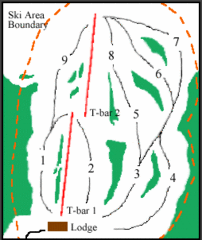
Mount Arrowsmith (Upper) Ski Trail Map
Trail map from Mount Arrowsmith (Upper).
1947 miles away
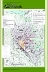
Mount Arrowsmith Climbing Route Map
Climbing routes on Mount Arrowsmith, Vancouver Island
1948 miles away
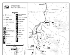
Garibaldi Provincial Park Map
Park map of Garibaldi Provincial Park, BC. 2 pages.
1949 miles away
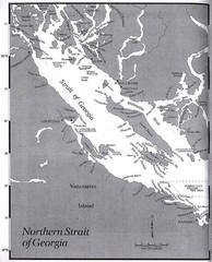
Northern Strait of Georgia Map
1949 miles away
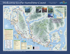
Lower Sunshine Coast Recreation Map
Recreation map of the Lower Sunshine Coast in BC. Shows hiking trails, mountain biking trails...
1951 miles away
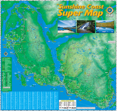
Sunshine Coast Super Map
Sunshine Coast Super Map Poster. 44" X 42". Also Available in folded version.
1953 miles away
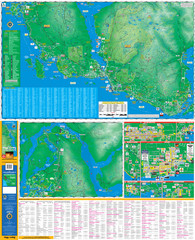
Folded Sunshine Coast Super Map
Folded Sunshine Coast Super Map
1955 miles away
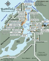
Bamfield Tourist Map
1955 miles away
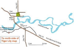
Fort Assiniboine Location Map
1957 miles away
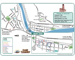
Ashcroft Map
Map of Ashcroft, includes all streets, highways, accommodations and attractions.
1958 miles away
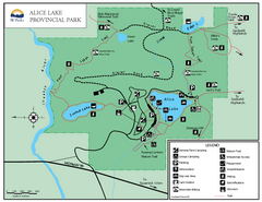
Alice Lake Provincal Park Map
1958 miles away
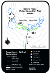
Dakota Ridge Ski Trail Map
Trail map from Dakota Ridge, which provides nordic skiing. This ski area has its own website.
1960 miles away
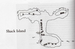
Shack Island Map
Illustration taken from the book "Shack Island" by Ruth English Matson. 2004.
1965 miles away
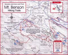
Mt. Benson Hiking Trail Map
Show hiking trails in the Nanaimo and Area Land Trust containing Mt. Benson. Also shows roads and...
1967 miles away
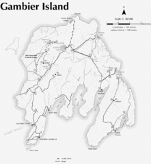
Gambier Island Trail Map
Trail map of Gambier Island, BC. See site for trail descriptions and details.
1967 miles away
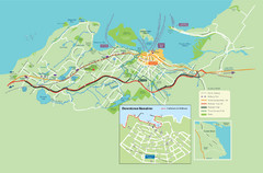
Nanaimo City Map
Map of Nanaimo, BC. Shows trails and parks.
1969 miles away

Edmonton, Alberta Tourist Map
Edmonton, Alberta and the area west of it
1971 miles away

