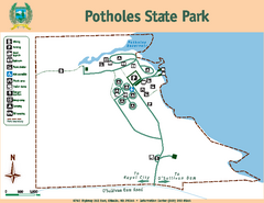
Potholes State Park Map
Map of park with detail of trails and recreation zones
2217 miles away
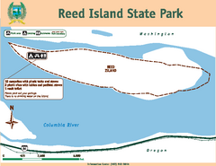
Reed Island State Park Map
Map of park with detail of trails and recreation zones
2217 miles away

Happy Valley Oregon Road Map
2217 miles away
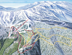
Schweitzer Mountain Trail Map
Ski trail map of Schweitzer Mountin
2217 miles away

Schweitzer Mountain Trail Map
Map of ski trails
2217 miles away
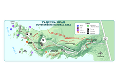
Yaquina Head Outstanding National Area Map
2221 miles away
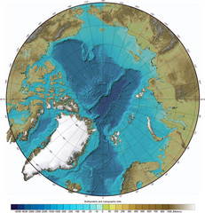
Arctic Ocean Bathymetric Map
Bathymetric map of Arctic Ocean shows all ocean topography and topographical tints for land.
2221 miles away
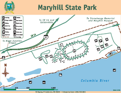
Maryhill State Park Map
Map of park with detail of trails and recreation zones
2221 miles away
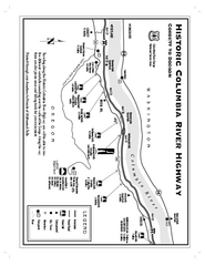
Historic Columbia River Highway Map
Official map from the US Forest Service. Shows the Corbett to Dodson stretch of Highway 30 with...
2221 miles away
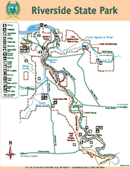
Riverside State Park Map
Map of park with detail of trails and recreation zones
2222 miles away

Sandpoint City Map
Street map of downtown Sandpoint
2222 miles away
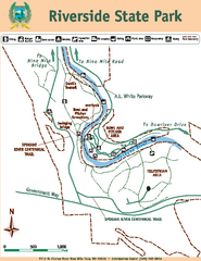
Riverside State Park Map
Map of park with detail of trails and recreation zones
2222 miles away
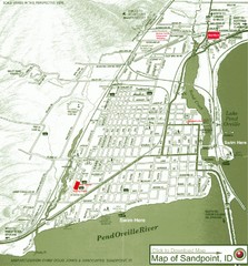
Map of Sandpoint, Idaho
Map of the entire town of Sandpoint including all streets, highways and other information.
2223 miles away
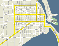
Sandpoint City Beach Map
Downtown Sandpoint Map.
2223 miles away
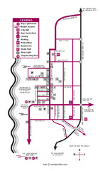
Nye Beach Tourist Map
2223 miles away
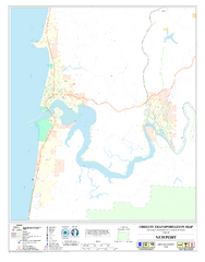
Newport Oregon Road Map
2223 miles away
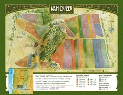
Van Duzer Vineyard Map
"A colorful vineyard map that shows the location of Van Duzer’s numerous grape varietals...
2224 miles away
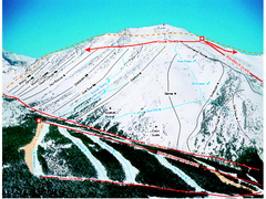
Castle Mountain Resort Ski Trail Map
Trail map from Castle Mountain Resort, which provides downhill skiing. This ski area has its own...
2225 miles away
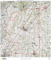
Spring Century Bike Route Map
Oregon Spring Century Ride
2226 miles away
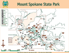
Mount Spokane State Park Map
Map of park with detail of trails and recreation zones
2226 miles away
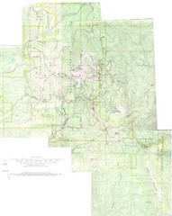
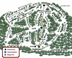
Mount Spokane Trail Map
Contour map of Mount Spokane
2226 miles away
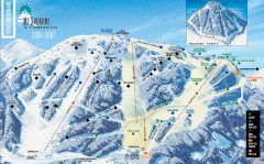
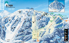
Mt. Spokane Ski Trail Map
Official ski trail map of Mount Spokane ski area from the 2006-2007 season.
2226 miles away
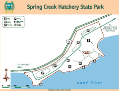
Spring Creek Hatchery State Park map
Map of park with detail of trails and recreation zones
2228 miles away
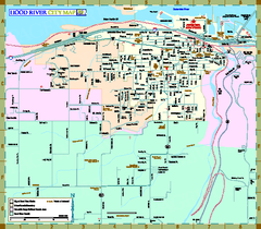
Hood River Map
Tourist map of city of Hood River, Oregon.
2230 miles away
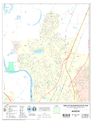
Keizer Oregon Road Map
2230 miles away
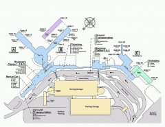
Spokane International Airport Terminal Map
Official Map of Spokane International Airport in Washington state. Shows all terminals.
2231 miles away
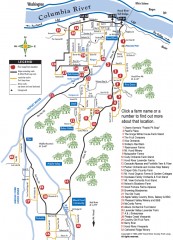
Hood River County Fruit Loop map
35-mile scenic drive through the valley's orchards, forests, farmlands, and friendly...
2232 miles away
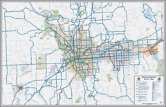
Spokane, Washington Bike Map
2232 miles away
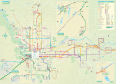
Spokane Guide Map
Roads and areas in and around Spokane, Washington
2233 miles away

Independence Oregon Road Map
2234 miles away
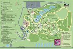
Oregon Garden Map
Map and key marking trails and more in this amazing garden.
2237 miles away
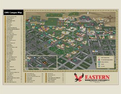
Eastern Washington University Campus Map
Campus map of Eastern Washington University in Cheney, Washington
2237 miles away
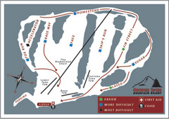
Cooper Spur Ski Area Ski Trail Map
Trail map from Cooper Spur Ski Area.
2240 miles away
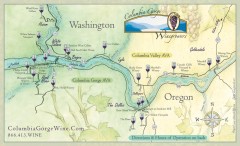
Columbia Gorge Wine Map
Wineries of the Columbia River Gorge area, Oregon.
2241 miles away
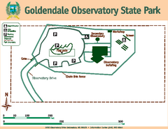
Goldendale State Park Map
Map of park with detail of trails and recreation zones
2241 miles away
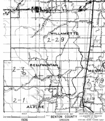
Transportaion for Benton County 1936 Map
1936 Map of Benton County, Oregon known as Muddy Area with counties, roads and towns marked
2242 miles away
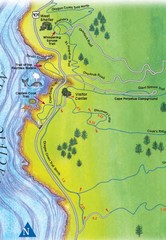
Cape Perpetua Map
2243 miles away
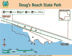
Dougs Beach State Park Map
Map of park with detail of trails and recreation zones
2244 miles away

