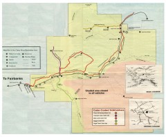
Chena River State Recreation Area map
Detailed map for Chena River State Recreation Area in Alaska
653 miles away
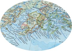
Alaska (Kenai Peninsula Map) Map
664 miles away
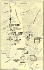
Resurrection Bay Area map
Recreation map for the Resurrection Bay area in Alaska
666 miles away
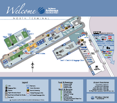
Ted Stevens Anchorage International Airport...
Airport Map of Ted Stevens Anchorage International Airport in Alaska. Map shows North Terminal and...
669 miles away
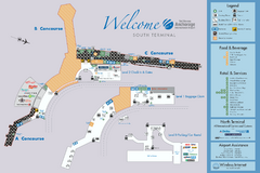
Ted Stevens Anchorage International Airport...
Official map of Ted Stevens Anchorage International Airport - South Terminal. Shows all concourses...
669 miles away
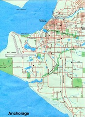
Anchorage Alaska Map
670 miles away
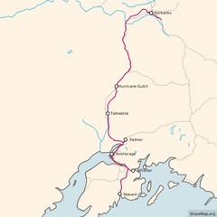
Alaska Railroad ma Map
Map of alaska normal gauga railroad. Licensed on Creative Commons Share Alike 3.0 license
670 miles away
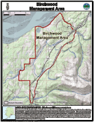
Birchwood, Alaska Tourist Map
674 miles away
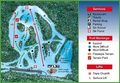
Hilltop Ski Area Ski Trail Map
Trail map from Hilltop Ski Area, which provides downhill, night, nordic, and terrain park skiing...
678 miles away
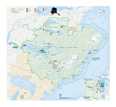
Katmai National Park & Preserve Official Park...
Official NPS map of Katmai National Park & Preserve in Alaska. Map shows all areas. The park...
678 miles away
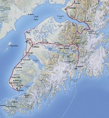
Kenai Peninsula, Alaska Map
684 miles away
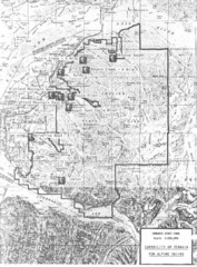
Chugach State Park Proposed Ski Area Map
Guide to Chugach State Park and proposed, but unbuilt, ski areas, now used for heli skiiing
687 miles away
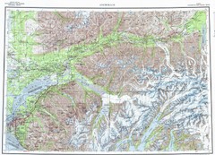
Anchorage Chugach State Park Topo Map
Topographic map of Chugach State Park, Anchorage, and surrounding area.
688 miles away
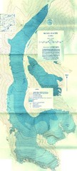
McCall Glacier Topo Map
Topographic map of the McCall Glacier in Alaska.
694 miles away
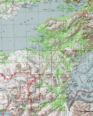
Alaska Peninsula Map
Map with trek route detail
694 miles away

Arctic Refuge Coastal Plain Map
Guide to birthplace and nursery grounds of the porcupine caribou herd
695 miles away

Homer, Alaska Map
701 miles away
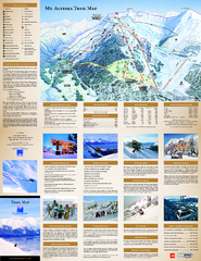
Alyeska Ski Trail Map
Official ski trail map of Alyeska ski area from the 2007-2008 season.
702 miles away
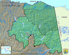
Arctic National Wildlife Refuge Boundary Map
Guide to the Arctic National Wildlife Refuge in Alaska
712 miles away
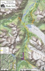
Whistlestop Proposed Hut System Map
Shows proposed huts along the Alaska Railroad’s Backcountry Whistlestop Project in Chugach...
713 miles away
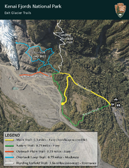
Kenai Fjords National Park Official Trail Map
Official NPS map of Kenai Fjords National Park in Alaska. Only shows hiking trails. Kenai Fjords...
728 miles away

Aleutian Islands Map
737 miles away
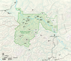
Yukon-Charley Rivers National Preserve Map
Detailed map of Yukon-Charley Rivers National Preserve in Alaska
748 miles away
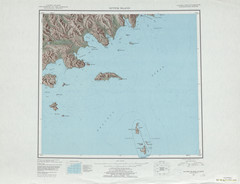
Sutwik Island Shaded Relief Map
760 miles away
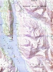
Kodiak Island Topo Map
Topo map of small portion of Kodiak Island
770 miles away
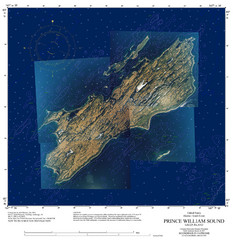
Green Island Map
Map of Green Island in Prince William Sound. Shows soundings in fathoms.
777 miles away

Kodiak Island and Alaska Peninsula Map
779 miles away
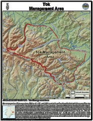
Tok, Alaska Tourist Map
785 miles away

Alaska's Aleutian Islands Map
824 miles away
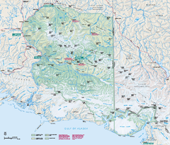
Wrangell - St Elias National Park & Preserve...
Official NPS map of Wrangell - St Elias National Park & Preserve in Alaska. The primary season...
847 miles away
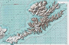
Unalaska Island Topo Map
858 miles away
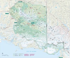
Wrangell-St. Elias National Park Map
Map of Wrangell-St. Elias National Park, Tetlin Wildlife Reserve, and Kluane National Park...
869 miles away

Inuviauit Settlement Region Map
Northern Alaskan regions
957 miles away

Alaskan Aleutian Islands Map
974 miles away
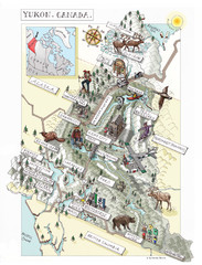
Yukon Territory Canada Map
979 miles away
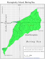
Karaginski Island Map
983 miles away
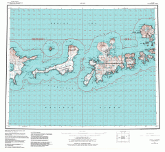
Adak Alaska Topo Map
Topo map of former military outpost. 1:250,000 Scale. City incorporated in 2001.
1011 miles away
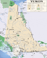
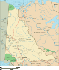
Yukon Map
Overview map of the Yukon Territory, Canada. Shows roads, airports, glaciers, game reserves, and...
1041 miles away
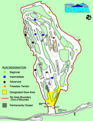
Mount Sima Ski Trail Map
Trail map from Mount Sima, which provides downhill skiing. This ski area has its own website.
1103 miles away

