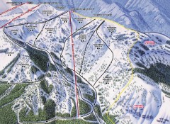
Crystal Mountain Ski Trail Map - Northway Area
Official ski trail map of the Northway area of Crystal Mountain ski area from the 2007-2008 season...
2161 miles away
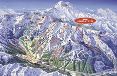
Crystal Mountain Ski Trail Map
Official ski trail map of Crystal Mountain ski area from the 2007-2008 season. 2600 acres of...
2161 miles away
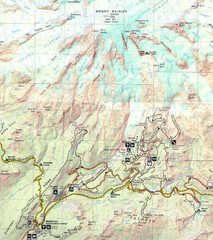
Pinnacle Saddle Trail Map
2162 miles away
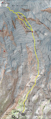
Mount Rainier Climbing Map
Guide to climbing Mount Rainier, Camp Muir Route
2164 miles away
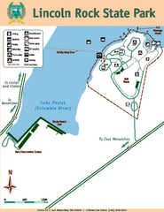
Lincoln Rock State Park Map
2165 miles away
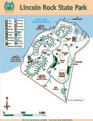
Lincoln Rock State Park Map
Map of park with detail of trails and recreation zones
2165 miles away
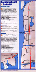
Rockaway Beach Map
2170 miles away
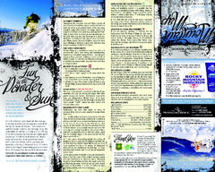
Mission Ridge Ski Area Ski Trail Map
Trail map from Mission Ridge Ski Area, which provides downhill, night, and terrain park skiing. It...
2171 miles away
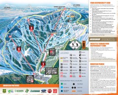
Mission Ridge Ski Trail Map
Official ski trail map of Mission Ridge ski area from the 2007-2008 season.
2171 miles away

Kootenay Rockies Map
The Kootenay Rockies Range in British Columbia, Canada
2171 miles away
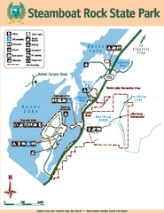
Steamboat Rock State Park Map
Map of park with detail of trails and recreation zones
2172 miles away

BANKS-VERNONIA STATE TRAIL Map
2177 miles away
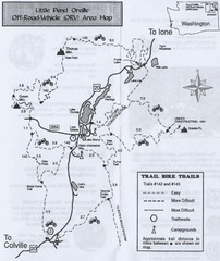
Little Pend Oreille Off Road Vehicle (ORV) Area...
Map of the Off Road Vehicle Area in Little Pend Oreille, Washington. Includes all bike trails...
2179 miles away
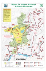
Mt. Saint Helens National Volcanic Monument...
Official recreation map showing all roads, trails, campgrounds, and other facilities. Also shows...
2180 miles away
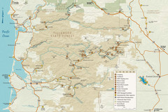
Tillamook State Forest Map
Recreation map of Tillamook State Forest. Over 60 miles of non-motorized trails and 150 miles of...
2180 miles away
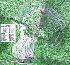
White Pass Ski Area Ski Trail Map
Trail map from White Pass Ski Area, which provides downhill, nordic, and terrain park skiing. It...
2180 miles away
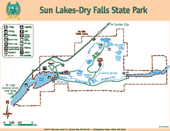
Sun Lakes-Dry Falls State Park Map
Map of park with detail of trails and recreation zones
2182 miles away
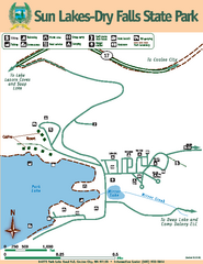
Sun Lakes-Dry Falls State Park Map
Map of park with detail of trails and recreation zones
2182 miles away
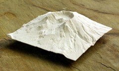
Mt. St. Helens 3D Print Map
This is a 3D-printed map of the cone, crater, and summit of Mt. St. Helens in Washington, USA. It...
2183 miles away
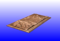
Mount St. Helens carved in wood by carvedmaps.com...
Mount St. Helens carved in wood by carvedmaps.com
2183 miles away
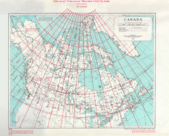
Canada Guide Map
2184 miles away
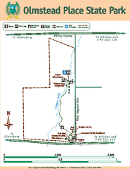
Olmstead Place State Park Map
Map of park with detail of trails and recreation zones
2186 miles away
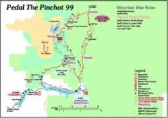
Pedal the Pinchot Bike Ride Route Map
Route Map for the Pedal the Pinchot 99 bike ride - annotated on a Park trail map.
2189 miles away
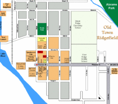
Guide Map of Old Town Ridgefield
Guide Map of Old Town Ridgefield, Washington
2191 miles away
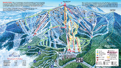
49 North Mountain Resort Ski Trail Map
Trail map from 49 North Mountain Resort, which provides downhill, night, nordic, and terrain park...
2193 miles away
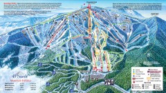
49 Degrees North Ski Trail Map
Official ski trail map of ski area from the 2007-2008 season.
2193 miles away
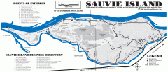
Sauvie Island tourist map
Tourist map of Sauvie Island in Oregon. Shows all businesses and points of interest.
2193 miles away
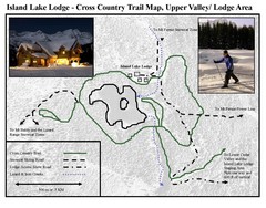
Island Lake Lodge Ski Trail Map
Trail map from Island Lake Lodge, which provides nordic skiing. This ski area has its own website.
2194 miles away
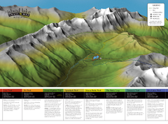
Island Lake Hiking Map
Hiking trail map of Island Lake area near Fernie, BC
2194 miles away
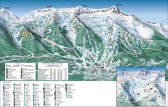
Fernie Alpine Trail Map
Ski trail map
2196 miles away
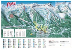
Fernie Mountain Trail Map
2197 miles away
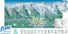
Fernie Mountain Trail Map
2197 miles away
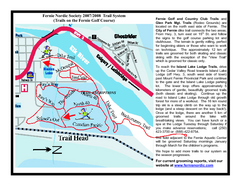
Fernie Golf Course Ski Trail Map
Trail map from Fernie Golf Course, which provides nordic skiing. This ski area has its own website.
2197 miles away
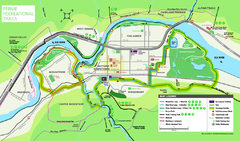
Fernie Town Trails Map
Trail map of recreational trails in and around town of Fernie, BC
2197 miles away
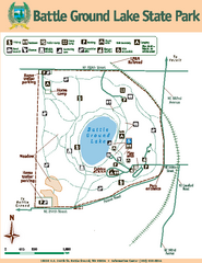
Battle Ground Lake State Park Map
Map of park with detail of trails and recreation zones
2198 miles away
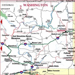
Eastern Washington Road Map
2198 miles away

Canada Imports Cartogram 2003 Map
Cartograms are a great way to visualize statistics! Here the world's countries are re-sized...
2198 miles away
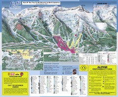
Fernie Ski Trail Map
Official ski trail map of Fernie ski area from the 2007-2008 season.
2199 miles away
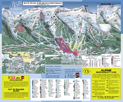
Fernie Alpine Resort Ski Trail Map
Trail map from Fernie Alpine Resort, which provides downhill and nordic skiing. This ski area has...
2199 miles away
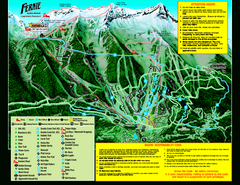
Fernie Alpine Resort 2007 Fernie Summer Map
Trail map from Fernie Alpine Resort, which provides downhill and nordic skiing. This ski area has...
2199 miles away

