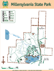
Millersylvania State Park Map
Map of park with detail of trails and recreation zones
2123 miles away
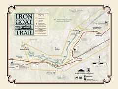
Iron Goat Trail Map
2124 miles away
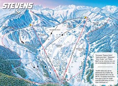
Stevens Pass Ski Area Stevens Pass Mill Valley...
Trail map from Stevens Pass Ski Area, which provides night and terrain park skiing. It has 8 lifts...
2126 miles away
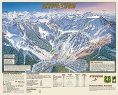
Stevens Pass Trail Map
2126 miles away
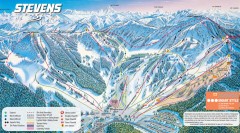
Stevens Pass Ski Trail Map
Official ski trail map of Stevens Pass ski area
2126 miles away

Panorama Ski Area Trail Map
Guide to the Panorama Mountain Resort, outside Calgary, Canada
2127 miles away
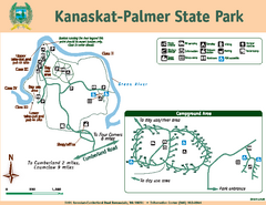
Kanaskat-Palmer State Park Map
Map of park with detail of trails and recreation zones
2128 miles away
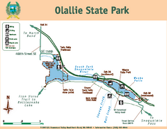
Olallie State Park Map
Map of park with detail of trails and recreation zones
2128 miles away
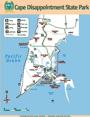
Cape Dissapointment State Park Map
Map of park with detail of trails and recreation zones
2128 miles away
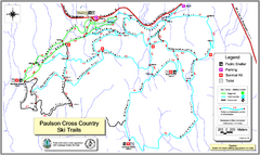
Paulson X-C (Castlegar Nordic) Ski Trail Map
Trail map from Paulson X-C (Castlegar Nordic), which provides nordic skiing. This ski area has its...
2129 miles away
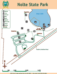
Nolte State Park Map
Map of park with detail of trails and recreation zones
2129 miles away
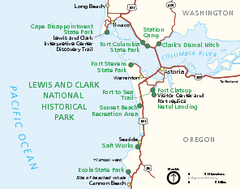
Lewis & Clark National Historic Trail...
Official NPS map of Lewis & Clark National Historic Trail in Oregon-Washington. Shows all areas...
2130 miles away
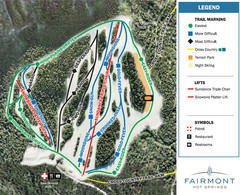
Fairmont Hot Springs Resort Ski Trail Map
Trail map from Fairmont Hot Springs Resort.
2131 miles away
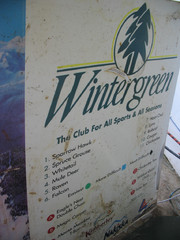
2001 Wintergreen Downhill Map Part 2
Trail map from Wintergreen.
2132 miles away
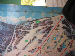
2001 Wintergreen Downhill Map Part 1
Trail map from Wintergreen.
2132 miles away
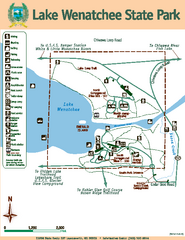
Lake Wenatchee State Park Map
Map of island with detail of trails and recreation zones
2133 miles away
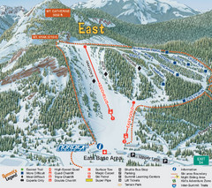
The Summit at Snoqualmie Summit East Ski Trail Map
Trail map from The Summit at Snoqualmie, which provides night and terrain park skiing. It has 30...
2135 miles away
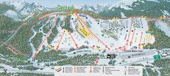
The Summit at Snoqualmie Summit Central Ski Trail...
Trail map from The Summit at Snoqualmie, which provides night and terrain park skiing. It has 30...
2135 miles away
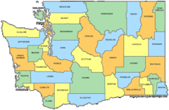
Washington State Counties Map
2135 miles away
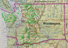
Washington State Road and Recreation Map
2135 miles away
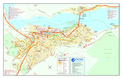
Nelson BC Town Map
2136 miles away
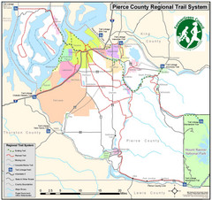
Pierce County Regional Trail Map
County-wide system of trails
2136 miles away
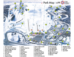
Canada Olympic Park Ski Trail Map
Trail map from Canada Olympic Park, which provides downhill skiing. This ski area has its own...
2137 miles away
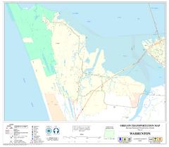
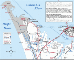
Warrenton Oregon Road Map
2139 miles away
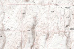
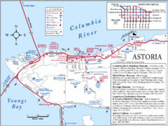
Astoria Oregon Map
A detailed topographic map of Astoria, Oregon and the Columbia River.
2140 miles away

Pierce County Washington Map, 1909 Map
2140 miles away

Canada's Import by Country (2003) Map
Cartograms are a great way to present statistical information. The size of each country is re-sized...
2141 miles away

2006–08 Black Jack Nordic Map
Trail map from Black Jack.
2141 miles away

Red Mountain Ski Trail Map
Trail map from Red Mountain.
2142 miles away
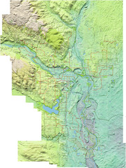
Calgary Topo Bike Map
This map shows the city of Calgary's bike routes. The topographic representation of the...
2142 miles away
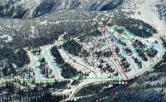
Whitewater Ski Resort Silver King Ski Trail Map
Trail map from Whitewater Ski Resort.
2142 miles away
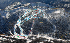
Whitewater Ski Resort Summit Ski Trail Map
Trail map from Whitewater Ski Resort.
2142 miles away
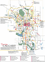
Calgary Map
2143 miles away
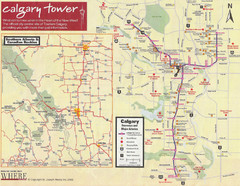
Calgary Tourist Map
Tourist map of Calgary, Canada. Shows points of interest. Scanned.
2143 miles away
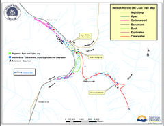
Nelson Nordic Ski Trail Map
Trail map from Nelson Nordic, which provides night and nordic skiing. This ski area has its own...
2143 miles away

Red Mountain Trail Map
Ski trail map
2143 miles away
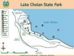
Lake Chelan State Park Map
Map of island with detail of trails and recreation zones
2144 miles away

