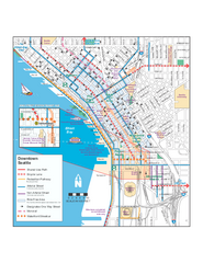
Downtown Seattle Bikeways Map
Map of bike paths, bike lanes, public transportation and points of interest in Seattle, Washington.
2100 miles away
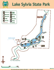
Lake Sylvia State Park Map
Map of island with detail of trails and recreation zones
2100 miles away

Seattle Shopping map for Lucky Magazine
Illustrated map of Seattle shopping locations illustrated by MapsIllustrated for Lucky Magazine(NYC)
2100 miles away
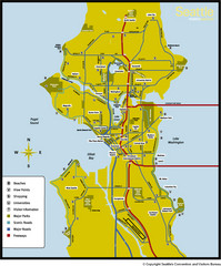
Seattle, Washington City Map
2100 miles away
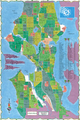
Seattle Neighborhood Map
2100 miles away
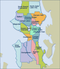
Seattle Neighborhood Map
2100 miles away
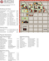
Seattle University Map
Campus Map
2100 miles away
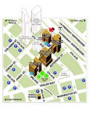
Municipal Court of Seattle Location Map
2100 miles away
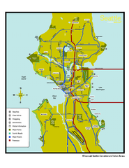
Neighborhoods of Seattle, Washington Map
Tourist map of Seattle, Washington, showing neighborhoods, parks, and scenic drives.
2100 miles away
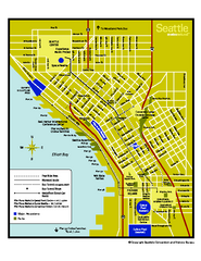
Downtown Seattle, Washington Map
Tourist map of downtown Seattle, Washington. Shows locations of Space Needle, Experience Music...
2100 miles away
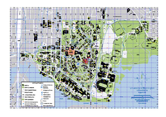
University of Washington - Seattle Campus Map
Campus Map of the University of Washington - Seattle Campus. All buildings shown.
2100 miles away

Greater Kirkland tourist map
Tourist map of Greater Kirkland, Washington. Shows all businesses.
2101 miles away
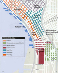
Seattle Neighborhoods Map
Map outlines several neighborhoods in Seattle, Wahsington
2101 miles away
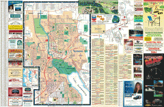
Redmond Area tourist map
Tourist map of the Redmond Area on Washington. Shows all businesses.
2101 miles away
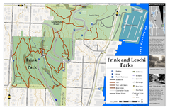
Frink Park and Leschi Park Map
2102 miles away

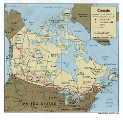
Map of Canada Circa 1900
2102 miles away
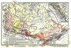
1911 Map of Canada and Newfoundland by Shepherd
This map was from the beautiful 1911 Historical Atlas by William R. Shepherd. Enjoy it!
2102 miles away
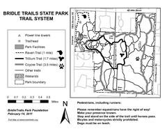
Bridle Trails State Park Map
2102 miles away

Shadowrun Redmond Map
2102 miles away
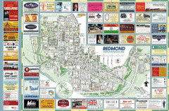
Redmond tourist map
Tourist map of Redmond, Washington. Shows all businesses.
2102 miles away
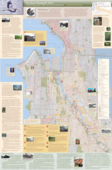
Duwamish River Community Map
This is a printed map, 32" X 40", created for the Duwamish River Cleanup Coalition in...
2103 miles away
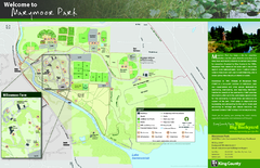
Marymoor Park Map
2103 miles away
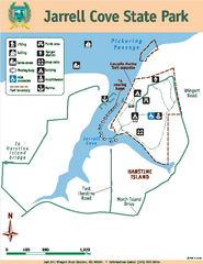
Jarrell Cove State Park Map
Map of park with detail of trails and recreation zones
2103 miles away
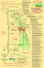
Sammamish Valley Guide Map
2103 miles away
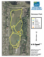
Genesee Park Trail Map
Trail map of Genesee Park in Mt Baker, Seattle, WA
2104 miles away
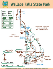
Wallace Falls State Park Map
Map of park with detail of trails and recreation zones
2104 miles away
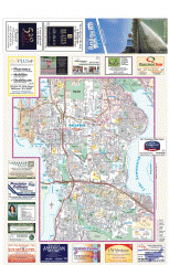
Bellevue tourist map
Tourist map of Bellevue, Washington. Shows all businesses.
2104 miles away
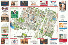
Tourist map of Downtown Bellevue
Tourist map of Downtown Bellevue, Washington. Shows all businesses.
2104 miles away
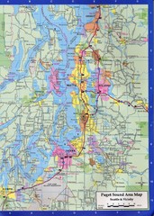
Seattle, Washington City Map
2105 miles away
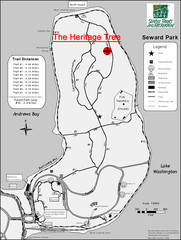
Seward Park Trails Map
Map of the trails in Seward Park, a 300-acre park on a peninsula in the south Seattle, WA area.
2105 miles away
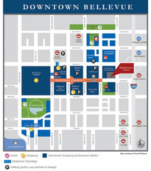
Downtown Bellevue Map
Driving Directions and Downtown Map
2105 miles away
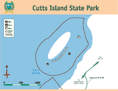
Cutts Island Stay Park Map
Map of park with detail of trails and recreation zones
2106 miles away
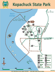
Kopachuck State Park Map
Map of island with detail of trails and recreation zones
2107 miles away
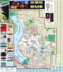
Sammamish tourist map
Tourist map of Sammamish, Washington. Shows all businesses.
2108 miles away
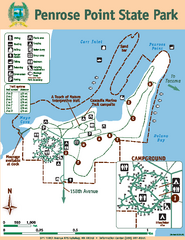
Penrose Point State Park Map
Map of park with detail of trails and recreation zones
2108 miles away
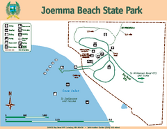
Joemma Beach State Park Map
Map of park with detail of trails and recreation zones
2109 miles away
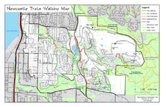
Newcastle Trails Trail Map
Trail map of existing and proposed trails in Newcastle, WA
2109 miles away
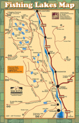
Radium Hot Springs Fishing Map
Beautiful map of the many fishing spots at this amazing site.
2109 miles away
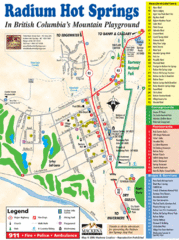
Radium Hot Springs Map
An easy to read map of this amazing hot springs area.
2109 miles away

