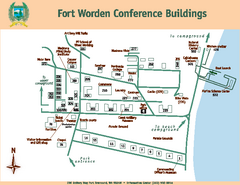
Fort Worden Conference Buildings Map
Map of conference buildings in Fort Worden State Park
2058 miles away
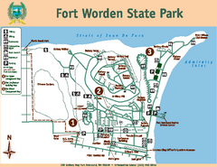
Fort Worden State Park Map
Map of park with detail of trails and recreation zones
2058 miles away
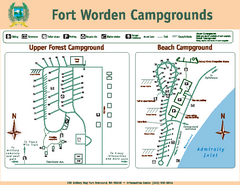
Fort Worden Campgrounds Map
Map of park campgrounds
2058 miles away
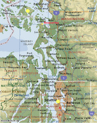
Washington State - West Coast Map
Washington State - West Coast Map
2060 miles away
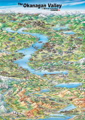
Pictorial map of the Okanagan Valley
2061 miles away
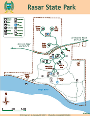
Rasar State Park Map
Map of park with detail of trails and recreation zones
2061 miles away
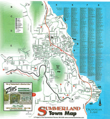
Summerland Town Map
Map of Summerland with details on outdoor-recreation locations and streets
2062 miles away
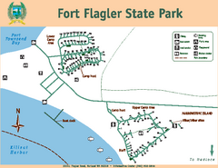
Fort Flagler State Park Map
Map of park with detail of trails and recreation zones
2062 miles away
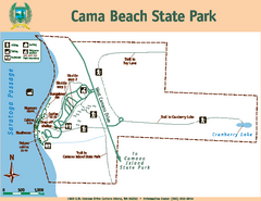
Cama Beach State Park Map
Map of park with detail of trails and recreation zones
2063 miles away
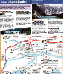
Lake Louise Area Map
Map of Lake Louise with detail of trails and recreation zones
2063 miles away
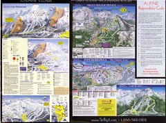
2007–08 2007–08 Ski Big 3 Side 2 (Lake Louise...
Trail map from Lake Louise, which provides downhill skiing. This ski area has its own website.
2063 miles away
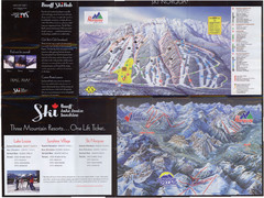
Lake Louise 2007–08 Ski Big 3 Side 1 (3...
Trail map from Lake Louise, which provides downhill skiing. This ski area has its own website.
2063 miles away
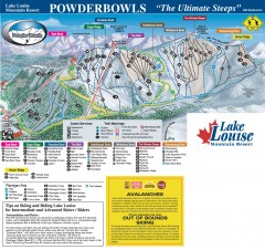
Lake Louise Ski Trail map - Ptarmigan/Paradise...
Official ski trail map of the Ptarmigan/Paradise/Back Bowls of Lake Louise ski area from the 2005...
2063 miles away
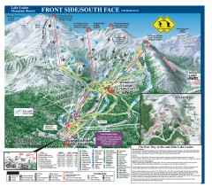
Lake Louise Ski Trail map - Front side/south face...
Official ski trail map of the front side/south face of Lake Louise ski area from the 2005-2006...
2063 miles away
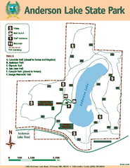
Anderson Lake State Park Map
Map of park and trails
2064 miles away
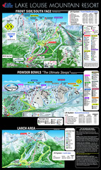
Lake Louise Trail Map
Ski area trail map for Lake Louise Mountain
2064 miles away
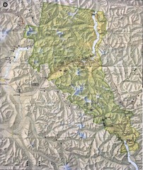
North Cascades National Park Physical Map
National Park
2064 miles away
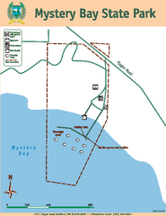
Mystery Bay State Park Map
Map of park with detail of trails and recreation zones
2065 miles away
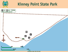
Kinney Point State Park Map
Map of island with detail of trails and recreation zones
2065 miles away
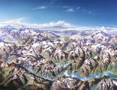
North Cascades National Park Oblique Map
Oblique map looking across Ross Damn, and Diablo Lake towards Seattle
2065 miles away
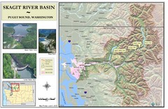
Skagit River Map
Skagit River Basin Overview Map (Pink shading is the FEMA 100 Year Flood)
2066 miles away
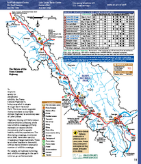
Banff National Park map
Official Parks Canada map of Banff National Park. Birthplace of Canada's national park system...
2067 miles away
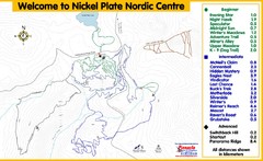
Nickel Plate Nordic Centre Ski Trail Map
Trail map from Nickel Plate Nordic Centre.
2068 miles away
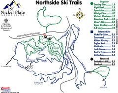
Nickel Plate Nordic Centre North Ski Trail Map
Trail map from Nickel Plate Nordic Centre.
2068 miles away

Whidbey Island tourist map
Tourist map of Whidbey Island and Coupeville, Washington. Shows all businesses.
2068 miles away
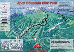
Apex Mountain Resort Biking Ski Trail Map
Trail map from Apex Mountain Resort, which provides downhill and terrain park skiing. It has 5...
2068 miles away
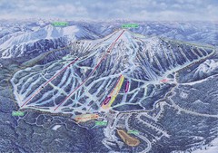
Apex Mountain Ski Resort Map
Apex Mountain Trail Map, Lifts and Elevations
2068 miles away
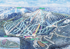
Apex Mountain Ski Trail Map
Official ski trail map of Apex Mountain ski area
2069 miles away
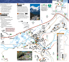
Banff National Park Map
Map of park with detail of trails and recreation zones
2069 miles away
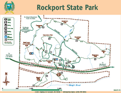
Rockport State Park Map
Map of park with detail of trails and recreation zones
2070 miles away
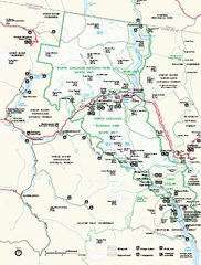
North Cascades National Park map
Official NPS map of North Cascades National Park, Washington. Shows the entire park and...
2071 miles away

Arlington and Smokey Point tourist map
Tourist map of Arlington and Smokey Point, Washington. Shows all businesses.
2071 miles away
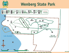
Wenberg State Park Map
Map of park with detail of trails and recreation zones
2072 miles away
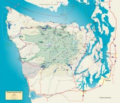
Olympic National Park and Peninsula Map
Guide to the Olympic National Park and surrounding region
2072 miles away
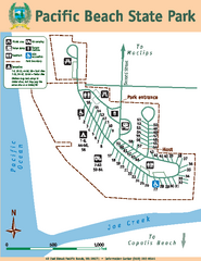
Pacific Beach State Park Map
Map of park with detail of trails and recreation zones
2072 miles away
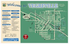
Vegreville Tourist Map
Tourist map of Vegreville, Alberta. Shows points of interest.
2073 miles away
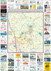
Arlington tourist map
Tourist map of Arlington, Washington. Shows all businesses.
2073 miles away

South Whidbey tourist map
Tourist map of South Whidbey, Washington. Shows all businesses.
2073 miles away

South Whidbey Island tourist map
Tourist map of South Whidbey Island, Washington. Shows all businesses.
2075 miles away
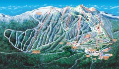
Big White Ski Trail Map
Official ski trail map of Big White ski area from the 2007-2008 season.
2076 miles away

