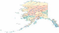
Bering Strait Map
0 miles away
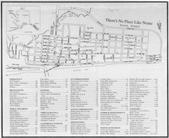
Nome, Alaska Map
147 miles away

Bering Strait Map
158 miles away
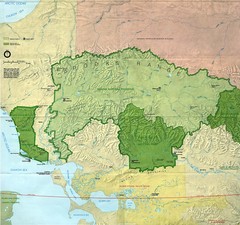
Kobuk Valley National Park and Noatak National...
NPS map of Kobuk Valley National Park and Noatak National Preserve, Alaska
278 miles away
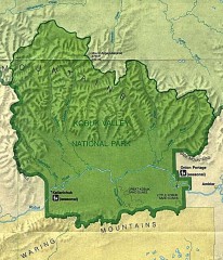
Kobuk Valley National Park Map
Official NPS map of Kobuk Valley National Park in Alaska. Kobuk Valley National Park is open year...
286 miles away

Alaskan West Coast Islands Map
301 miles away
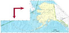
Alaska Map
334 miles away
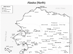
Northern Alaska Airports Map
358 miles away

Alaska Map
375 miles away
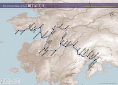
Iditarod Route Map
Official route map of the Iditarod, the famouse 1,150 mile dogsled race from Anchorage to Nome...
385 miles away
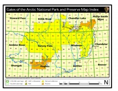
Gates of the Arctic National Park and Preserve...
Official NPS map of Gates of the Arctic National Park and Preserve in Alaska. Shows all areas. The...
442 miles away
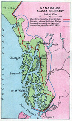
1903 Alaska boundary dispute Map
The Alaska Panhandle was object of a boundary dispute between USA and the Dominion of Canada...
450 miles away
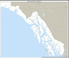
Alaska Zip Code Map
Check out this Zip code map and every other state and county zip code map zipcodeguy.com.
455 miles away
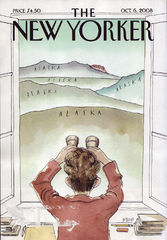
Palin's View From Alaska Map
Presidential Vice President Candidate Sarah Palin's view of Russia from Alaska. From scan of...
457 miles away

Alaska Detailed Map
457 miles away

Alaska Map
457 miles away

Alaska Map
457 miles away
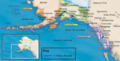
Alaska Ferry Routes Map
457 miles away
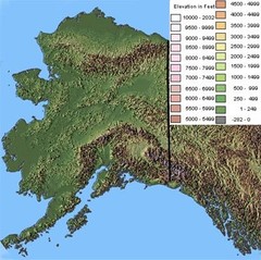
Alaska Topographic Map
457 miles away
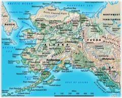
Alaska Road Map
457 miles away
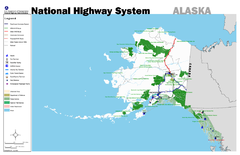
Alaska Road Map
457 miles away
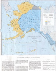
Early Native American Tribes in Alaska Historical...
457 miles away
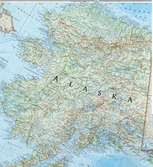
Alaska Map
Map of the state of Alaska that includes all roads, towns, county divisions, and basic terrain.
457 miles away
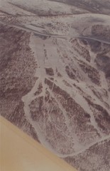
Cleary Summit Cleary Summit Ski Trail Map
Trail map from Cleary Summit. This ski area opened in 1953.
463 miles away
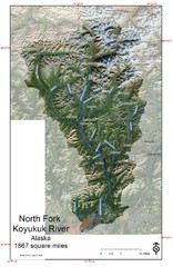
North Fork Koyukuk Watershed - Alaska Map
Map showing the North Fork Koyukuk River watershed, Alaska as explored by Bob Marshall in the 1930...
468 miles away
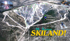
Mt Aurora Skiland Ski Trail Map
Trail map from Mt Aurora Skiland. It has 3 lifts. This ski area has its own <a href="http...
472 miles away
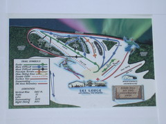
Birch Hill Ski Trail Map
Trail map from Birch Hill. This ski area opened in Pre 1963.
473 miles away
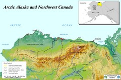
Arctic Alaska and Northwest Canada Map
Guide to northern Alaska and Canada, showing the ANWR, NPRA and pipelines
498 miles away
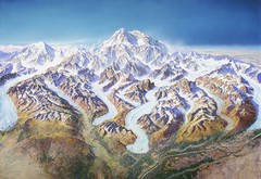
Mt. McKinley (Denali) Map
Oblique Panorama ma of Mt. Mckinley (Denali)
563 miles away
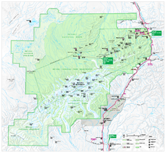
Denali National Park and Preserve map
Official NPS map of Denali National Park. Shows the entire park and surroundings. from nps.gov...
569 miles away
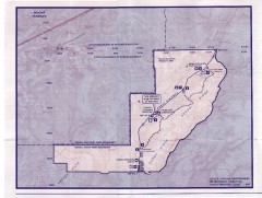
Denali State Park Map
Denali National Park and Preserve map
577 miles away
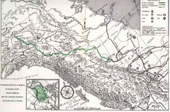
Alaska Highway Map
581 miles away
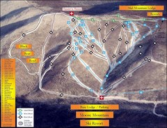
Moose Mountain Ski Trail Map
Trail map from Moose Mountain, which provides downhill skiing. It has 35 runs; the longest run is...
605 miles away
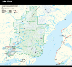
Lake Clark National Park & Preserve Park Map
Official NPS map of Lake Clark National Park & Preserve in Alaska. The park is open year-round...
611 miles away
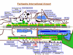
Fairbanks International Airport Map
611 miles away
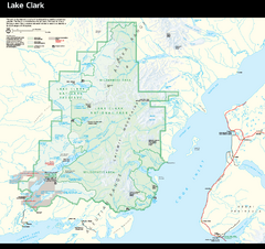
Lake Clark National Park and Preserve Map
Detailed map for Lake Clark National Park and Preserve
614 miles away
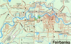
Fairbanks Alaska Map
615 miles away
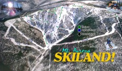
Mt. Aurora Skiland Ski Trail Map
Official ski trail map of Mt. Aurora Skiland ski area
619 miles away

Iliamna lake Map
Largest lake in Alaska
633 miles away

