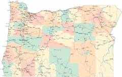
Oregon Military Map
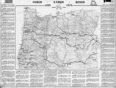
Detailed guide to military forts, camps and roads on teh western Oregon coast
2092 miles away
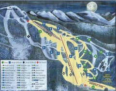
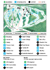
Marshall Mountain Ski Trail Map
Trail map from Marshall Mountain.
2092 miles away

Missoula, Montana City Map
2093 miles away
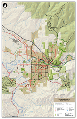
Missoula Bike Trails Map
Road and Mt. Bike trails with a bit of topology near Missoua
2093 miles away

Missoula Trail System Map
Basic Map of Hike/Bike/Run Trail system for Missoula MT
2093 miles away
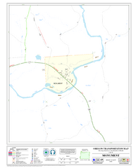
Monument Oregon Road Map
2094 miles away
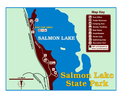
Salmon Lake State Park Map
Immediately adjacent to Montana 83, this park is an access point to one of the beautiful lakes in...
2094 miles away
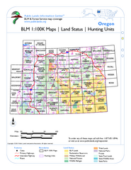
Oregon Hunting Unit/BLM Map Index
This map shows which BLM land ownership maps cover all hunting units in Oregon. Color indicates...
2095 miles away
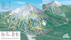
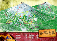
Mt. Bachelor Ski Trail map
Official ski trail map of Mount Bachelor ski area from the 2006-2007 season.
2096 miles away
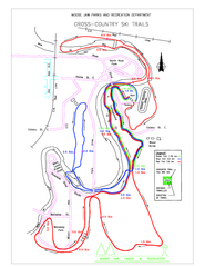
Moose Jaw Cross Country Ski Trail Map
Cross country ski trails around city of Moose Jaw, Saskatchewan, Canada. Shows green, red, and...
2098 miles away
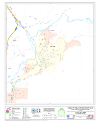
Oakland Oregon Road Map
2098 miles away
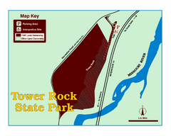
Tower Rock State Park Map
Tower Rock State Park is one of Montana's newest state parks. The 400-foot high igneous rock...
2099 miles away
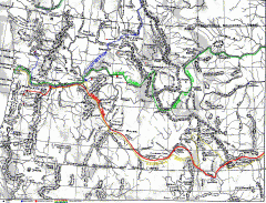
Oregon Trail Map
Old sketch map with modern cities, forts/ trading posts, and missions/churches superimposed. Shows...
2099 miles away
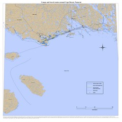
Cape Dorset Map
2099 miles away
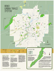
Bend urban trails system Map
The Bend Urban Trail System currently includes approximately 48 developed miles of trails which...
2100 miles away
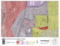
Bend, Oregon Zoning Map
Map of the zoning area changes in Bend, Oregon. Includes color-coded zoning areas.
2100 miles away
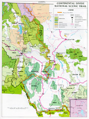
Continental Divide Scenic Trail Map
Guide to the Montana portion of the Continental Divide trail
2102 miles away
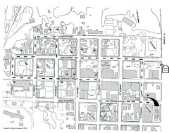
Myrtle Point walking tour Map
Walking tour map of the Historic homes of Myrtle Point in the Coquille Valley of Oregon.
2104 miles away
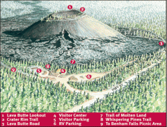
Newberry National Volcanic Monument - Lava Lands...
Map of Lava Butte which rises 500 feet above the visitor center. This cinder cone erupted 7,000...
2108 miles away
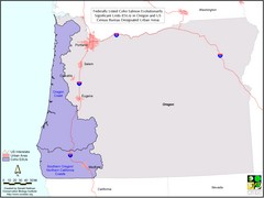
Oregon Coho Salmon Map
Shows federally listed coho salmon evolutionarily significant units in Washington state.
2110 miles away
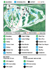
Anthony Lakes Mountain Resort Ski Trail Map
Trail map from Anthony Lakes Mountain Resort.
2111 miles away
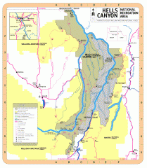
Hells Canyon National Recreation Area Map
Official Forest Service map of the Hells Canyon National Recreation Area. Shows roads, trails...
2111 miles away
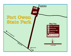
Fort Owen State Park Map
Fort Owen’s adobe and log remains preserves the site of the first permanent white settlement...
2112 miles away
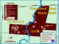
Travelers' Rest State Park Map
The Lewis and Clark expedition camped here twice during their historic journey to locate the...
2113 miles away
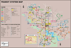
Regina Transit Map
Bus route map of the city of Regina, Saskatchewan, Canada.
2117 miles away
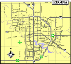
Regina Map
Street map of downtown Regina
2117 miles away
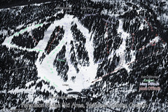
Ferguson Ridge Ski Trail Map
Trail map from Ferguson Ridge.
2117 miles away
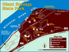
Giant Springs State Park Map
Set aside a whole afternoon to experience this scenic and historic freshwater springs site. First...
2121 miles away

Mission Ridge Winter Park Ski Trail Map
Trail map from Mission Ridge Winter Park, which provides downhill skiing. This ski area has its own...
2121 miles away
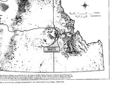
Map of Wolverine Sightings: 1886 -- 1998
2128 miles away
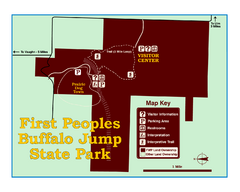
First People's Buffalo Jump State Park Map
A visitor center and interpretive trails tell the story of this prehistoric bison kill site, one of...
2130 miles away
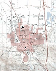
Baker City, Oregeon Tourist Map
2132 miles away
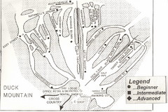
Duck Mountain Ski Trail Map
Trail map from Duck Mountain, which provides downhill and nordic skiing. This ski area has its own...
2132 miles away

