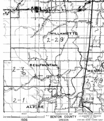
Transportaion for Benton County 1936 Map
1936 Map of Benton County, Oregon known as Muddy Area with counties, roads and towns marked
2021 miles away
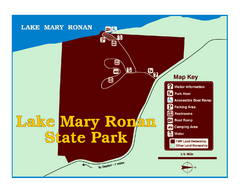
Lake Mary Ronan State Park Map
Off the beaten path just seven miles west of Flathead Lake, this park is shaded by Douglas fir and...
2021 miles away
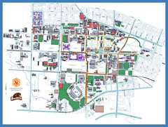
Oregon State University Campus Map
Campus map of Oregon State University in Corvallis, Oregon
2027 miles away
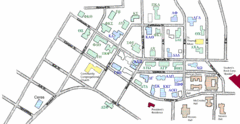
Washington State University's Greek Row Map
Map of WSU's fraternities and sororities
2027 miles away

Pullman Parks Trail Map
Trails and pathways map
2027 miles away
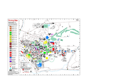
Washington State University Map
Washington State University Campus Map. All buildings shown.
2027 miles away
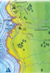
Cape Perpetua Map
2028 miles away
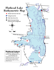
Bathymetric Map of Flathead Lake
Bathymetry refers to underwater depth
2029 miles away
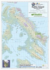
Baffin Island Map
Physical relief map shows national parks and permanent ice. See source for more info on back of...
2030 miles away
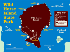
Wild Horse Island State Park Map
Boat access to this day-use-only, primitive park is regulated to protect the 2,000-acre island. The...
2030 miles away
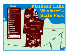
Wayfarers State Park Map
2030 miles away
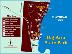
Big Arm State Park Map
Clear map and map key of Park camping grounds.
2030 miles away
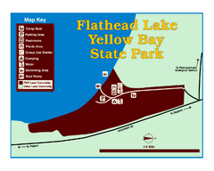
Yellow Bay State Park Map
Yellow Bay is in the heart of the famous Montana sweet cherry orchards, blossoms color the...
2032 miles away
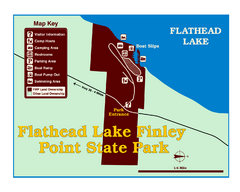
Finley Point State Park Map
This park is located in a secluded, mature pine forest near the south end of Flathead Lake. Enjoy...
2037 miles away
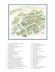
Whitman College Campus Map
Campus map of Whitman College in Walla Walla, WA
2041 miles away
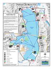
West Shore State Park Map
Glacially carved rock outcrops rise from Flathead Lake to overlooks with spectacular views of the...
2042 miles away
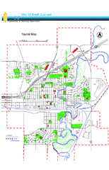
Swift Current Tourist Map
Tourist map of Swift Current, Saskatchewan. Shows all parks and walking paths.
2046 miles away
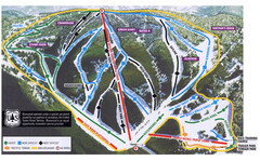
Bluewood Ski Trail Map
2051 miles away
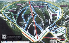
Bluewood Ski Trail Map
Trail map from Bluewood, which provides downhill, nordic, and terrain park skiing. It has 3 lifts...
2051 miles away
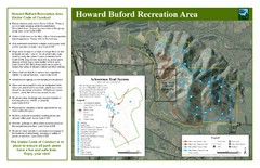
Howard Buford Recreational Area Trails Map
Map of the Howard Buford Recreational Area trails, roads, picnic areas, bathrooms, attractions.
2055 miles away
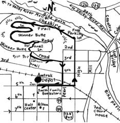
Eugene Oregon Walk, Skinner Butte and River Path...
Walk on the Willamette River Bike path, up Skinner Butte on a forest path and through a historic...
2063 miles away

Eugene Parks map
City of Eugene Parks Map. Includes streets and trails.
2063 miles away
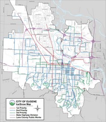
Eugene, Oregon City Map
2063 miles away
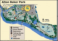
Alton Baker Park Map
Shows parking, picnic shelters, restrooms, talking stones, paved path, trail, and wetlands. Alton...
2063 miles away
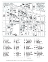
University of Oregon campus map
University of Oregon campus map with building abbreviations
2064 miles away
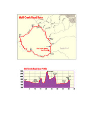
Wolf Creek Road Race Route and Route Elevation Map
Route map and elevation of Wolf Creek bike Race
2065 miles away
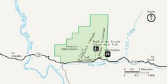
Clarno Unit John Day Fossils Beds National...
2066 miles away
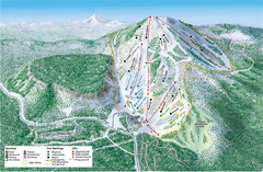
Hoodoo Mountain Ski Trail Map
Ski trail map of Hoodoo Mountain ski area.
2066 miles away
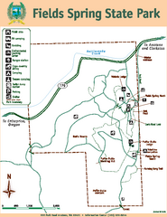
Fields Spring State Park Map
Map of park with detail of trails and recreation zones
2067 miles away
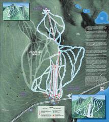
Willamette Pass Ski Trail Map
Trail map from Willamette Pass.
2068 miles away
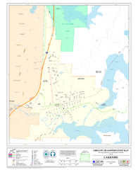
Lakeside Oregon Road Map
2071 miles away
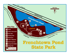
Frenchtown Pond State Park Map
Plan to bring everyone in the family to this day-use-only park for a whole afternoon of picnicking...
2077 miles away
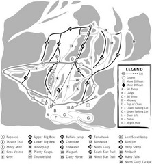
Teton Pass Ski Area Ski Trail Map
Trail map from Teton Pass Ski Area.
2081 miles away
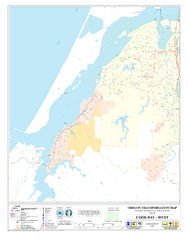
West Coos Bay Oregon Road Map
2083 miles away
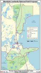
Manitoba Lowlands National Park Tourist Map
2083 miles away
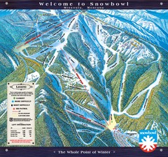
Montana Snowbowl Ski Trail Map
Trail map from Montana Snowbowl.
2084 miles away
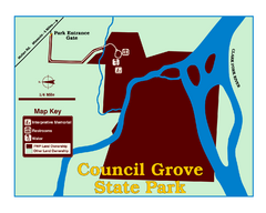
Council Grove State Park Map
Clearly marked map.
2087 miles away
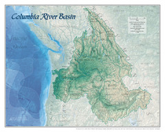
Columbia River Basin Map
2092 miles away

