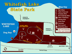
Whitefish Lake State Park Map
Although it’s right on the outskirts of Whitefish, this small park provides a mature forest...
1992 miles away
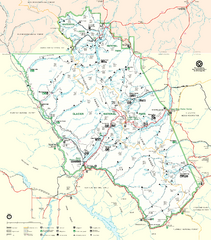
Glacier National Park Trail Map
Trails campgrounds and ranger stations.
1992 miles away
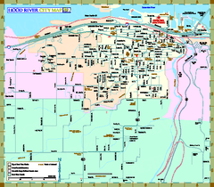
Hood River Map
Tourist map of city of Hood River, Oregon.
1993 miles away
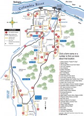
Hood River County Fruit Loop map
35-mile scenic drive through the valley's orchards, forests, farmlands, and friendly...
1995 miles away
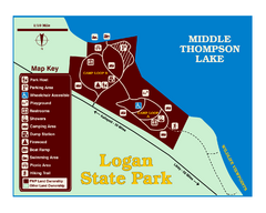
Logan State Park Map
With frontage on the north shore of Middle Thompson Lake, Logan is heavily forested with western...
1997 miles away
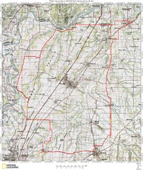
Spring Century Bike Route Map
Oregon Spring Century Ride
1999 miles away
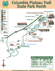
Columbia Plateau Trail State Park North Map
Map of park with detail of trails and recreation zones
2000 miles away
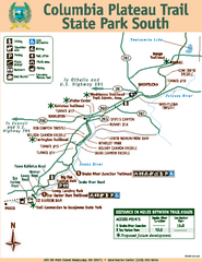
Columbia Plateau Trail State Park South Map
Map of park with detail of trails and recreation zones
2000 miles away
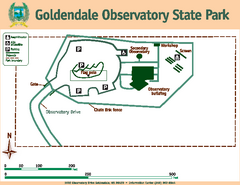
Goldendale State Park Map
Map of park with detail of trails and recreation zones
2000 miles away
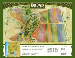
Van Duzer Vineyard Map
"A colorful vineyard map that shows the location of Van Duzer’s numerous grape varietals...
2000 miles away
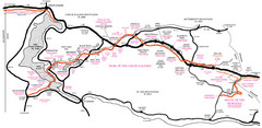
Trail of the Coeur d'Alenes Map
Shows the Trail of the Coeur d'Alenes, a 72 mile bike path that follows the Union Pacific...
2001 miles away
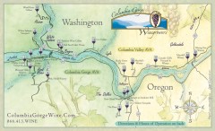
Columbia Gorge Wine Map
Wineries of the Columbia River Gorge area, Oregon.
2003 miles away
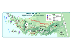
Yaquina Head Outstanding National Area Map
2004 miles away
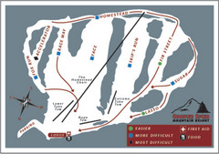
Cooper Spur Ski Area Ski Trail Map
Trail map from Cooper Spur Ski Area.
2005 miles away
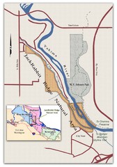
JackRabbit Ridge Natural Area Map
Shows urban wildlands
2005 miles away
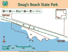
Dougs Beach State Park Map
Map of park with detail of trails and recreation zones
2005 miles away
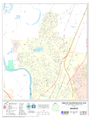
Keizer Oregon Road Map
2005 miles away
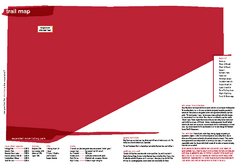
Silver Mountain Resort Ski Trail Map
Trail map from Silver Mountain Resort, which provides downhill, night, and terrain park skiing. It...
2006 miles away
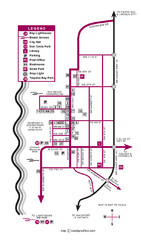
Nye Beach Tourist Map
2006 miles away
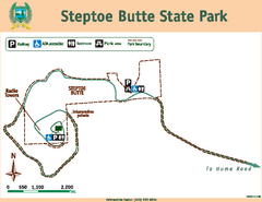
Steptoe Butt State Park Map
Map of park with detail of trails and recreation zones
2006 miles away
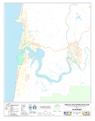
Newport Oregon Road Map
2006 miles away
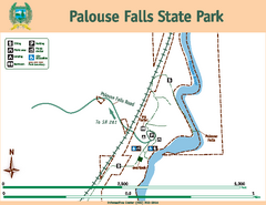
Palouse Falls State Park Map
Map of park with detail of trails and recreation zones
2007 miles away
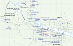
Kennewick Hotel Map
2009 miles away
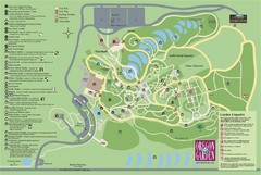
Oregon Garden Map
Map and key marking trails and more in this amazing garden.
2011 miles away

Independence Oregon Road Map
2011 miles away

Timberline Ski Area Ski Trail Map
Trail map from Timberline Ski Area.
2012 miles away
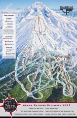
Timberline Ski Trail Map
Official ski trail map of Timberline Lodge ski area from the 2007-2008 season.
2012 miles away
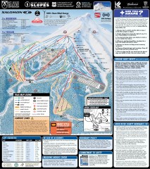
Mt. Hood Meadows Ski Trail Map
Official ski trail map of Mt. Hood Meadows ski area from the 2007-2008 season.
2013 miles away
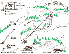
Summit Ski Area Ski Trail Map
Trail map from Summit Ski Area.
2013 miles away
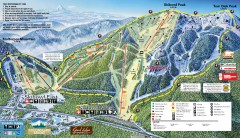
Mt. Hood Skibowl Ski Trail Map
Official ski trail map of ski area from the 2007-2008 season.
2013 miles away
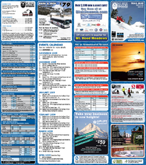
Mt. Hood Meadows Ski Resort Ski Trail Map
Trail map from Mt. Hood Meadows Ski Resort.
2013 miles away

Mt. Hood SkiBowl Ski Trail Map
Trail map from Mt. Hood SkiBowl.
2013 miles away

City of Kennewick Map
Simple road map of Kennewick.
2014 miles away
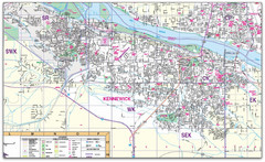
Kennewick, Washington City Map
2014 miles away
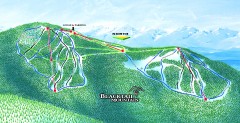
Blacktail Mountain Ski Trail Map
Official ski trail map of Blacktail Mountain ski area. See Blacktail's site for trailnames.
2016 miles away

Blacktail Mountain Ski Area Ski Trail Map
Trail map from Blacktail Mountain Ski Area.
2016 miles away
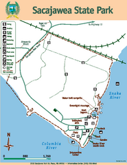
Sacajawea State Park Map
Map of park with detail of trails and recreation zones
2017 miles away
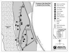
Thompson Falls State Park Map
This shaded, quiet campground is located on the Clark Fork River near the town of Thompson Falls in...
2018 miles away
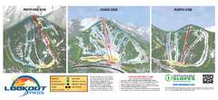
Lookout Pass Ski Trail Map
Official ski trail map of Lookout Pass ski area from the 2007-2008 season. Shows Montana, Idaho...
2018 miles away
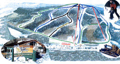
Hidden Valley Ski Trail Map
Trail map from Hidden Valley, which provides downhill skiing. This ski area has its own website.
2020 miles away

