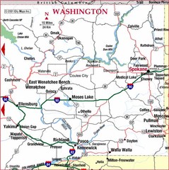
Eastern Washington Road Map
1941 miles away
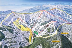
Schweitzer Ski Trail Map - Front
Official ski trail map of front side of Schweitzer ski area from the 2007-2008 season.
1941 miles away
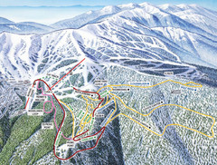
Schweitzer Mountain Trail Map
Ski trail map of Schweitzer Mountin
1944 miles away

Schweitzer Mountain Trail Map
Map of ski trails
1944 miles away
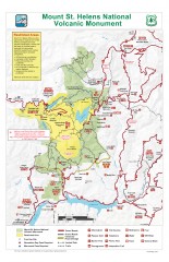
Mt. Saint Helens National Volcanic Monument...
Official recreation map showing all roads, trails, campgrounds, and other facilities. Also shows...
1944 miles away
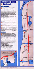
Rockaway Beach Map
1947 miles away
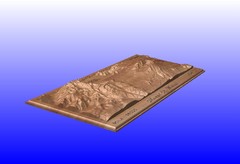
Mount St. Helens carved in wood by carvedmaps.com...
Mount St. Helens carved in wood by carvedmaps.com
1948 miles away
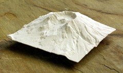
Mt. St. Helens 3D Print Map
This is a 3D-printed map of the cone, crater, and summit of Mt. St. Helens in Washington, USA. It...
1948 miles away

Sandpoint City Map
Street map of downtown Sandpoint
1949 miles away
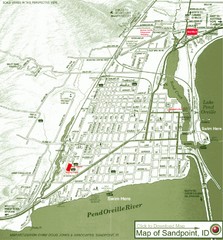
Map of Sandpoint, Idaho
Map of the entire town of Sandpoint including all streets, highways and other information.
1949 miles away
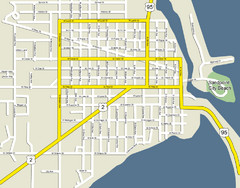
Sandpoint City Beach Map
Downtown Sandpoint Map.
1949 miles away
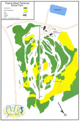
Prairie West Terminal Snow Park (Twin Towers) Ski...
Trail map from Prairie West Terminal Snow Park (Twin Towers), which provides downhill skiing. This...
1950 miles away
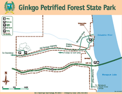
Ginkgo Petrified Forest State Park Map
Map of park with detail of trails and recreation zones
1950 miles away

BANKS-VERNONIA STATE TRAIL Map
1950 miles away
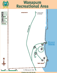
Wanapum Recreational Area Map
Map of park with detail of trails and recreation zones
1953 miles away
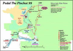
Pedal the Pinchot Bike Ride Route Map
Route Map for the Pedal the Pinchot 99 bike ride - annotated on a Park trail map.
1955 miles away
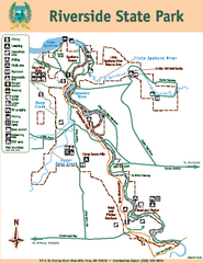
Riverside State Park Map
Map of park with detail of trails and recreation zones
1955 miles away
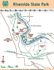
Riverside State Park Map
Map of park with detail of trails and recreation zones
1956 miles away
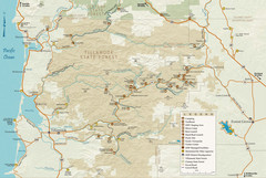
Tillamook State Forest Map
Recreation map of Tillamook State Forest. Over 60 miles of non-motorized trails and 150 miles of...
1956 miles away
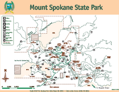
Mount Spokane State Park Map
Map of park with detail of trails and recreation zones
1957 miles away
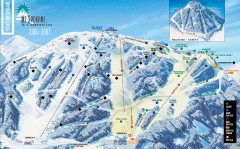
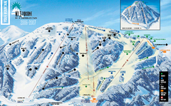
Mt. Spokane Ski Trail Map
Official ski trail map of Mount Spokane ski area from the 2006-2007 season.
1957 miles away
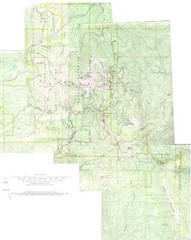
Mount Spokane Trail Map
Contour map of Mount Spokane
1957 miles away
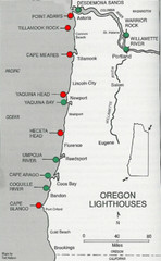
Lighthouses of the Oregon Coast Map
lighthouses (active, inactive, and destroyed) on the coast of Oregon (and the Columbia River)
1960 miles away

Yakima, Washington City Map
1960 miles away
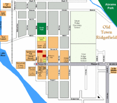
Guide Map of Old Town Ridgefield
Guide Map of Old Town Ridgefield, Washington
1961 miles away
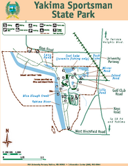
Yakima Sportsman State Park Map
Map of park with detail of trails and recreation zones
1962 miles away
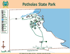
Potholes State Park Map
Map of park with detail of trails and recreation zones
1963 miles away
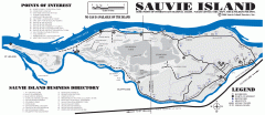
Sauvie Island tourist map
Tourist map of Sauvie Island in Oregon. Shows all businesses and points of interest.
1964 miles away
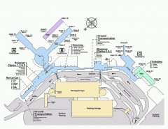
Spokane International Airport Terminal Map
Official Map of Spokane International Airport in Washington state. Shows all terminals.
1965 miles away
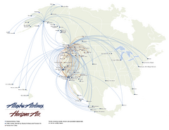
Alaska Airlines Route Map
1965 miles away
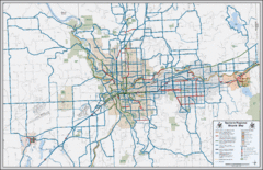
Spokane, Washington Bike Map
1965 miles away
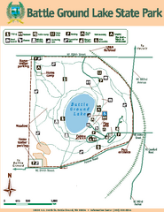
Battle Ground Lake State Park Map
Map of park with detail of trails and recreation zones
1966 miles away
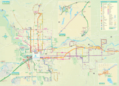
Spokane Guide Map
Roads and areas in and around Spokane, Washington
1966 miles away

Wapiti Valley Ski Trail Map
Trail map from Wapiti Valley, which provides downhill skiing. This ski area has its own website.
1967 miles away
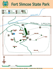
Fort Simcoe State Park Map
Map of park with detail of trails and recreation zones
1968 miles away
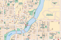
Saskatoon, Saskatchewan Tourist Map
1971 miles away
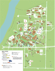
University of Saskatchwan Campus Map
Campus Map of the University of Saskatchwan in Canada. Includes all buildings and detailed parking...
1972 miles away
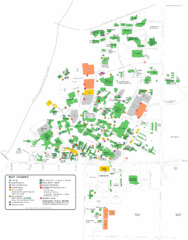
University of Saskatchewan Campus Map
Campus map of the University of Saskatoon in Saskatoon, Saskatchewan, Canada. Shows all buildings...
1972 miles away

