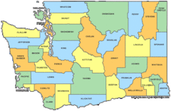
Washington State Counties Map
1885 miles away
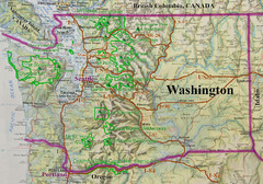
Washington State Road and Recreation Map
1885 miles away
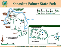
Kanaskat-Palmer State Park Map
Map of park with detail of trails and recreation zones
1885 miles away
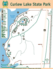
Curlew Lake State Park Map
Map of park with detail of trails and recreation zones
1886 miles away
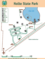
Nolte State Park Map
Map of park with detail of trails and recreation zones
1887 miles away
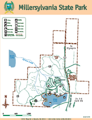
Millersylvania State Park Map
Map of park with detail of trails and recreation zones
1888 miles away

Kootenay Rockies Map
The Kootenay Rockies Range in British Columbia, Canada
1888 miles away
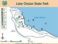
Lake Chelan State Park Map
Map of island with detail of trails and recreation zones
1889 miles away
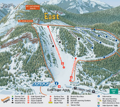
The Summit at Snoqualmie Summit East Ski Trail Map
Trail map from The Summit at Snoqualmie, which provides night and terrain park skiing. It has 30...
1890 miles away
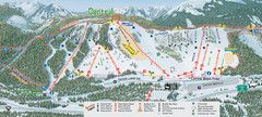
The Summit at Snoqualmie Summit Central Ski Trail...
Trail map from The Summit at Snoqualmie, which provides night and terrain park skiing. It has 30...
1890 miles away
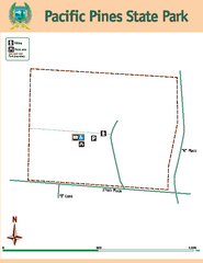
Pacific Pines State Park Map
Map of park with detail of trails and recreation zones
1890 miles away
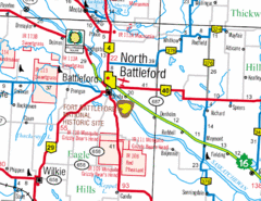
North Battleford, Saskatchewan Map
1893 miles away
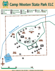
Camp Wooten State Park Map
Map of park with detail of trails and recreation zones
1893 miles away
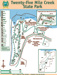
Twenty-Five Mile Creek State Park Map
Map of park with detail of trails and recreation zones
1894 miles away
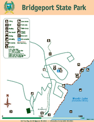
Bridgeport State Park Map
Map of park with detail of trails and recreation zones
1894 miles away
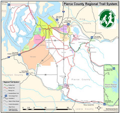
Pierce County Regional Trail Map
County-wide system of trails
1896 miles away

Pierce County Washington Map, 1909 Map
1901 miles away
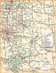
Southern Alberta Map
Shows highways, cities and towns, national/provincial parks and recreation areas, UNESCO World...
1903 miles away
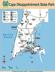
Cape Dissapointment State Park Map
Map of park with detail of trails and recreation zones
1904 miles away
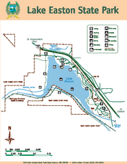
Lake Easton State Park Map
Map of island with detail of trails and recreation zones
1905 miles away
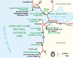
Lewis & Clark National Historic Trail...
Official NPS map of Lewis & Clark National Historic Trail in Oregon-Washington. Shows all areas...
1906 miles away
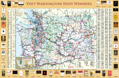
Washington State Winery Map
Washington State Winery Map
1907 miles away
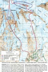
Mount Rainier Topo Map
Map of Mount Rainier Ascent. We ascended the "Muir Snowfield" and then went up the "...
1907 miles away
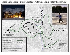
Island Lake Lodge Ski Trail Map
Trail map from Island Lake Lodge, which provides nordic skiing. This ski area has its own website.
1909 miles away
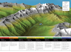
Island Lake Hiking Map
Hiking trail map of Island Lake area near Fernie, BC
1909 miles away
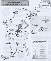
Little Pend Oreille Off Road Vehicle (ORV) Area...
Map of the Off Road Vehicle Area in Little Pend Oreille, Washington. Includes all bike trails...
1909 miles away
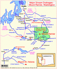
Mount Rainier Major Stream Drainages Map
1910 miles away
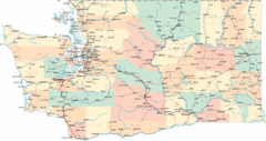
Washington Road Map
Road map of state of Washington
1911 miles away
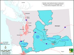
Washington Steelhead Salmon Map
Shows federally listed steelhead salmon evolutionarily significant units in Washington state.
1911 miles away
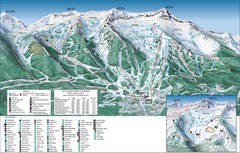
Fernie Alpine Trail Map
Ski trail map
1911 miles away
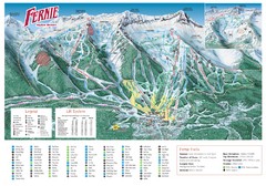
Fernie Mountain Trail Map
1911 miles away
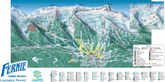
Fernie Mountain Trail Map
1911 miles away
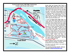
Fernie Golf Course Ski Trail Map
Trail map from Fernie Golf Course, which provides nordic skiing. This ski area has its own website.
1911 miles away
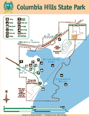
Columbia Hills State Park Map
Map of park with detail of trails and recreation zones
1912 miles away
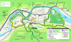
Fernie Town Trails Map
Trail map of recreational trails in and around town of Fernie, BC
1912 miles away
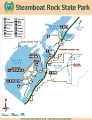
Steamboat Rock State Park Map
Map of park with detail of trails and recreation zones
1912 miles away
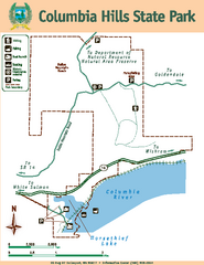
Columbia Hills State Park Map
Map of park with detail of trails and recreation zones
1912 miles away
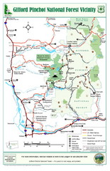
Gifford Pinchot National Forest Vicinity Map
Gifford Pinchot National Forest and surrounding areas including Mt. St Helens.
1912 miles away
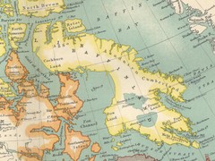
Baffin Island Map
1912 miles away

