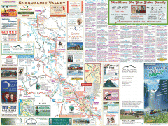
Snoqualmie Valley tourist map
Tourist map of the Snoqualmie Valley, Washington. Shows all businesses.
1870 miles away

Tourist map of Downtown Des Moines, Washington
Tourist map of Downtown Des Moines, Washington. Shows all businesses.
1871 miles away

Des Moines Washington tourist map
Tourist map of Des Moines, Washington, including Kent and SeaTac airport.
1871 miles away
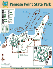
Penrose Point State Park Map
Map of park with detail of trails and recreation zones
1871 miles away
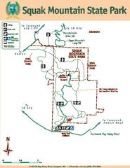
Squak Mountain State Park Map
Map of park with detail of trails and recreation zones
1871 miles away
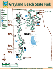
Grayland Beach State Park Map
Map of park with detail of trails and recreation zones
1871 miles away
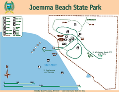
Joemma Beach State Park Map
Map of park with detail of trails and recreation zones
1872 miles away

Red Mountain Trail Map
Ski trail map
1872 miles away
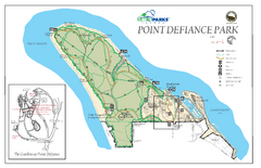
Point Defiance Park Map
1872 miles away
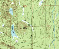
Fuller Mountain Topo Map
Fuller Mountain map with lakes, mountains and elevations identified.
1872 miles away
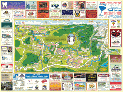
Snoqualmie tourist map
Snoqualmie, Washington tourist map. Shows all businesses.
1873 miles away
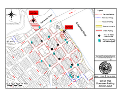
City of Trail Downtown Parking Map
Parking map of downtown Trail, British Columbia
1873 miles away

City of Trail BC Map
Map of city of Trail, BC on the Columbia River
1873 miles away
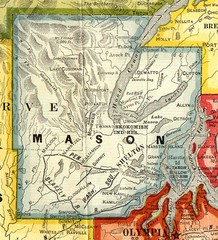
Mason County Washington, 1909 Map
1874 miles away
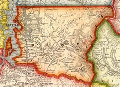
King County Washington, 1909 Map
1874 miles away
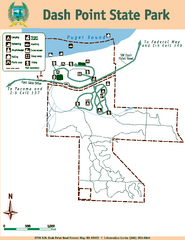
Dash Point State Park Map
Map of park with detail of trails and recreation zones
1874 miles away
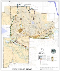
Snoqualmie Trail Map
Shows both soft surface and paved trails for biking, running/hiking/wailking, and horseback riding
1874 miles away
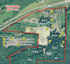
Grays Harbor County Straddleline ORV Park...
Park Map near Olympia
1876 miles away
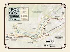
Iron Goat Trail Map
1876 miles away
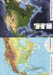
North America Satellite Relief Pair Map
A satellite image of North America twinned with a relief (or physical) representation of the same...
1877 miles away
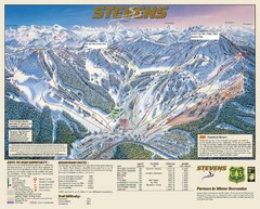
Stevens Pass Trail Map
1877 miles away
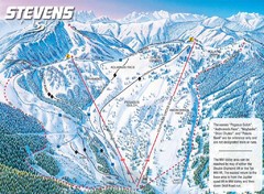
Stevens Pass Ski Area Stevens Pass Mill Valley...
Trail map from Stevens Pass Ski Area, which provides night and terrain park skiing. It has 8 lifts...
1877 miles away
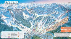
Stevens Pass Ski Trail Map
Official ski trail map of Stevens Pass ski area
1877 miles away
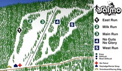
Salmo Ski Area Ski Trail Map
Trail map from Salmo Ski Area, which provides downhill skiing. This ski area has its own website.
1877 miles away
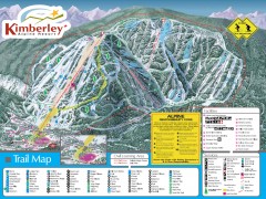
Kimberley Ski Trail Map
Official ski trail map of Kimberley ski area from the 2007-2008 season.
1878 miles away
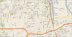
Tacoma, Washington City Map
1878 miles away
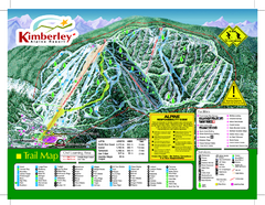
Kimberley Alpine Resort Ski Trail Map
Trail map from Kimberley Alpine Resort.
1878 miles away
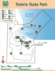
Tolmie State Park Map
Map of park with detail of trails and recreation zones
1879 miles away
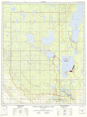
Prince Albert National Park Topo Map
Topographical map of Prince Albert National Park in Saskatchewan, Canada. From atlas.nrcan.gc.ca...
1879 miles away
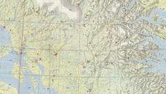
Central Baffin Island Map
1880 miles away
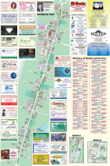
Milton tourist map
Tourist map of Milton, Washington. Shows all businesses.
1881 miles away
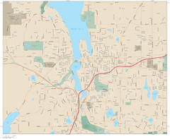
Olympia, Washington City Map
1881 miles away

Olympia Map
Map of downtown Olympia's parking and shuttle routes.
1881 miles away
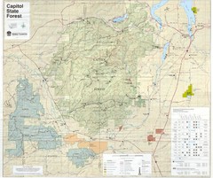
Capitol State Forest Map
1881 miles away
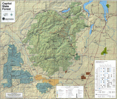
Capitol State Forest Map
Shows all trails in Capitol State Forest and surrounding area, including Lower Chehalis State...
1881 miles away
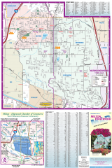
Milton and Edgewood tourist map
Tourist map of Milton and Edgewood, Washington. Shows all businesses.
1881 miles away
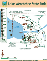
Lake Wenatchee State Park Map
Map of island with detail of trails and recreation zones
1882 miles away
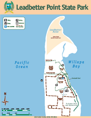
Leadbetter Point State Park Map
Map of park with detail of recreation zones and trails
1883 miles away
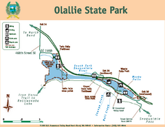
Olallie State Park Map
Map of park with detail of trails and recreation zones
1884 miles away
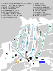
Table Mountain Ski Trail Map
Trail map from Table Mountain, which provides downhill skiing. This ski area has its own website.
1884 miles away

