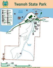
Twanoh State Park Map
Map of park with detail of trails and recreation zones
1859 miles away
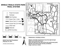
Bridle Trails State Park Map
1859 miles away
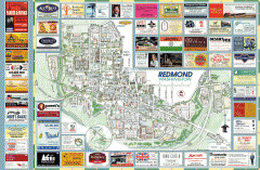
Redmond tourist map
Tourist map of Redmond, Washington. Shows all businesses.
1859 miles away
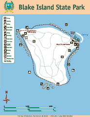
Blake Island State Park Map
Map of park with detail of trails and recreation zones
1859 miles away
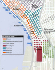
Seattle Neighborhoods Map
Map outlines several neighborhoods in Seattle, Wahsington
1860 miles away
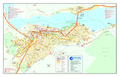
Nelson BC Town Map
1860 miles away
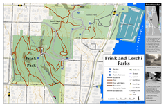
Frink Park and Leschi Park Map
1860 miles away
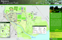
Marymoor Park Map
1860 miles away
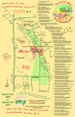
Sammamish Valley Guide Map
1860 miles away
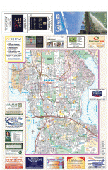
Bellevue tourist map
Tourist map of Bellevue, Washington. Shows all businesses.
1861 miles away
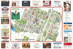
Tourist map of Downtown Bellevue
Tourist map of Downtown Bellevue, Washington. Shows all businesses.
1861 miles away
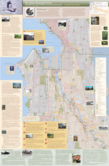
Duwamish River Community Map
This is a printed map, 32" X 40", created for the Duwamish River Cleanup Coalition in...
1861 miles away
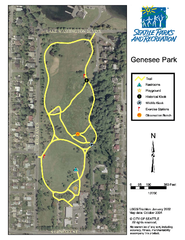
Genesee Park Trail Map
Trail map of Genesee Park in Mt Baker, Seattle, WA
1862 miles away
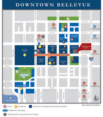
Downtown Bellevue Map
Driving Directions and Downtown Map
1863 miles away
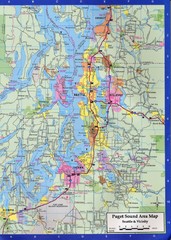
Seattle, Washington City Map
1863 miles away
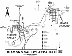
Diamond Valley Area Map
Map of Diamond Valley are, with Turner Valley & Black Diamond oil towns
1863 miles away
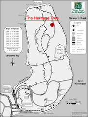
Seward Park Trails Map
Map of the trails in Seward Park, a 300-acre park on a peninsula in the south Seattle, WA area.
1863 miles away
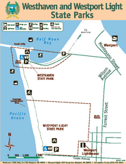
Westhaven/Westport Light State Parks Map
Map of park with detail of trails and recreation zones
1864 miles away
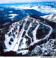
Loup Loup Ski Bowl Ski Trail Map
Trail map from Loup Loup Ski Bowl, which provides downhill, night, and nordic skiing. It has 2...
1864 miles away
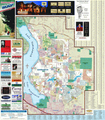
Sammamish tourist map
Tourist map of Sammamish, Washington. Shows all businesses.
1865 miles away
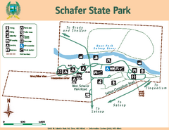
Schafer State Park Map
Map of park with detail of trails and recreation zones
1865 miles away
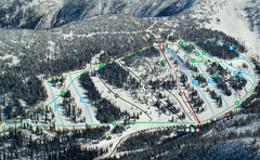
Whitewater Ski Resort Silver King Ski Trail Map
Trail map from Whitewater Ski Resort.
1866 miles away
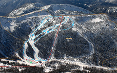
Whitewater Ski Resort Summit Ski Trail Map
Trail map from Whitewater Ski Resort.
1866 miles away
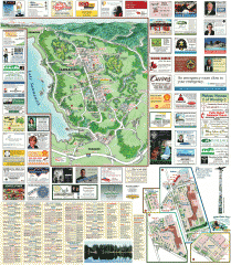
Sammamish tourist map
Sammamish, Washington tourist map. Shows all businesses.
1866 miles away
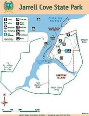
Jarrell Cove State Park Map
Map of park with detail of trails and recreation zones
1866 miles away
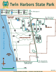
Twin Harbors State Park Map
Map of park with detail of trails and recreation zones
1867 miles away
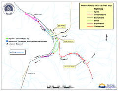
Nelson Nordic Ski Trail Map
Trail map from Nelson Nordic, which provides night and nordic skiing. This ski area has its own...
1867 miles away
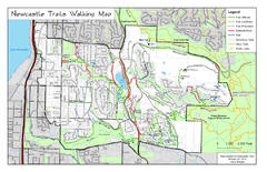
Newcastle Trails Trail Map
Trail map of existing and proposed trails in Newcastle, WA
1867 miles away
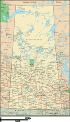
Saskatchewan Overview Map
Overview map of the Canadian province of Saskatchewan.
1867 miles away
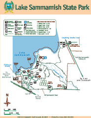
Lake Sammamish State Park Map
Map of island with detail of trails and recreation zones
1867 miles away
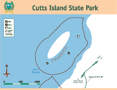
Cutts Island Stay Park Map
Map of park with detail of trails and recreation zones
1868 miles away
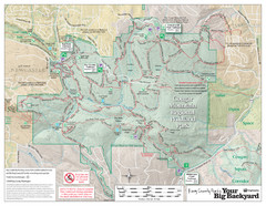
Cougar Mountain Park Trail Map
Trail map of Cougar Mountain Regional Wildland Park, part of the "Issaquah Alps"
1868 miles away
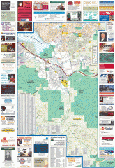
Issaquah tourist map
Issaquah, Washington tourist map. Shows all businesses.
1868 miles away
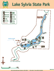
Lake Sylvia State Park Map
Map of island with detail of trails and recreation zones
1869 miles away
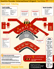
SeaTac Airport Map
1869 miles away
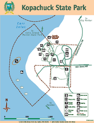
Kopachuck State Park Map
Map of island with detail of trails and recreation zones
1869 miles away
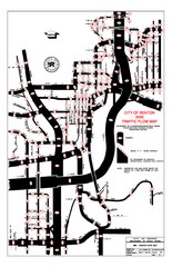
Renton WA Traffic Flow Map
City of Renton, WA traffic flow map
1869 miles away

2006–08 Black Jack Nordic Map
Trail map from Black Jack.
1870 miles away

Red Mountain Ski Trail Map
Trail map from Red Mountain.
1870 miles away
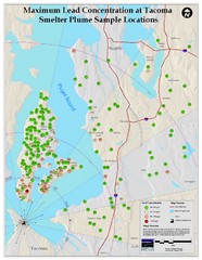
Tacoma Lead Concentration Map
A map of maximum lead concentrations near Tacoma.
1870 miles away

