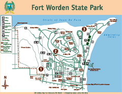
Fort Worden State Park Map
Map of park with detail of trails and recreation zones
1816 miles away
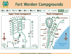
Fort Worden Campgrounds Map
Map of park campgrounds
1817 miles away
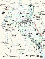
North Cascades National Park map
Official NPS map of North Cascades National Park, Washington. Shows the entire park and...
1817 miles away
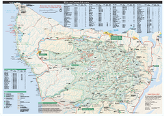
Olympic National Park wilderness campsite map
Official wilderness campsite map of Olympic National Park. Shows roads, trails, visitor...
1818 miles away
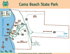
Cama Beach State Park Map
Map of park with detail of trails and recreation zones
1819 miles away
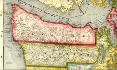
Clallam and Jefferson Counties Washington, 1909...
1819 miles away
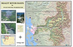
Skagit River Map
Skagit River Basin Overview Map (Pink shading is the FEMA 100 Year Flood)
1820 miles away
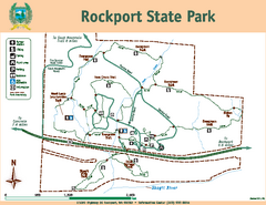
Rockport State Park Map
Map of park with detail of trails and recreation zones
1820 miles away
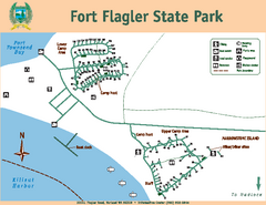
Fort Flagler State Park Map
Map of park with detail of trails and recreation zones
1820 miles away
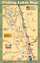
Radium Hot Springs Fishing Map
Beautiful map of the many fishing spots at this amazing site.
1823 miles away
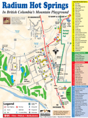
Radium Hot Springs Map
An easy to read map of this amazing hot springs area.
1823 miles away
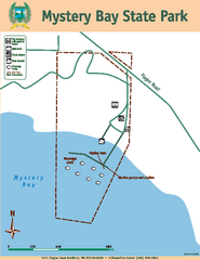
Mystery Bay State Park Map
Map of park with detail of trails and recreation zones
1823 miles away
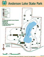
Anderson Lake State Park Map
Map of park and trails
1823 miles away
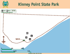
Kinney Point State Park Map
Map of island with detail of trails and recreation zones
1823 miles away

Whidbey Island tourist map
Tourist map of Whidbey Island and Coupeville, Washington. Shows all businesses.
1825 miles away

Arlington and Smokey Point tourist map
Tourist map of Arlington and Smokey Point, Washington. Shows all businesses.
1826 miles away
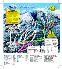
Nakiska Ski Resort Ski Trail Map
Trail map from Nakiska Ski Resort, which provides downhill skiing. This ski area has its own...
1826 miles away
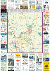
Arlington tourist map
Tourist map of Arlington, Washington. Shows all businesses.
1827 miles away
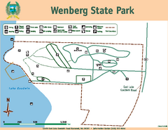
Wenberg State Park Map
Map of park with detail of trails and recreation zones
1827 miles away
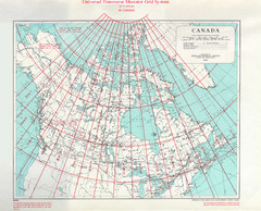
Canada Guide Map
1828 miles away

Panorama Trail Map
Ski trail map
1828 miles away
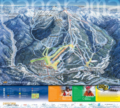
Panorama Mountain Village Ski Trail Map
Trail map from Panorama Mountain Village.
1828 miles away
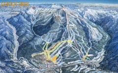
Panorama Ski Trail Map
Official ski trail map of Panorama ski area from the 2006-2007 season.
1829 miles away
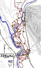
Nipika Ski Trail Map
Trail map from Nipika, which provides nordic skiing. This ski area has its own website.
1830 miles away

South Whidbey tourist map
Tourist map of South Whidbey, Washington. Shows all businesses.
1831 miles away

South Whidbey Island tourist map
Tourist map of South Whidbey Island, Washington. Shows all businesses.
1832 miles away
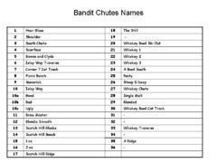
Fortress Bandit Chutes Run Names List Map
Trail map from Fortress, which provides downhill skiing.
1832 miles away
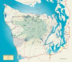
Olympic National Park and Peninsula Map
Guide to the Olympic National Park and surrounding region
1833 miles away
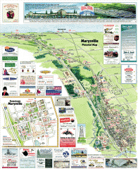
Marysville tourist map
Tourist map of Marysville, Washington. Shows all businesses.
1834 miles away
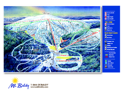
Mt. Baldy Family Ski Area Ski Trail Map
Trail map from Mt. Baldy Family Ski Area.
1834 miles away

Panorama Ski Area Trail Map
Guide to the Panorama Mountain Resort, outside Calgary, Canada
1837 miles away
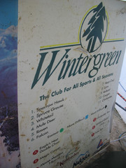
2001 Wintergreen Downhill Map Part 2
Trail map from Wintergreen.
1838 miles away
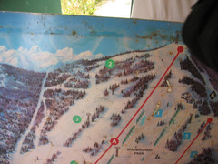
2001 Wintergreen Downhill Map Part 1
Trail map from Wintergreen.
1838 miles away
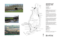
Spencer Island Park map
1838 miles away
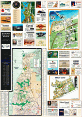
Mukilteo tourist map
Greater Mukilteo, Washington tourist map. Shows all businesses.
1838 miles away
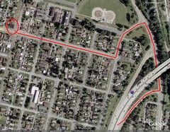
19th and Walnut in Everett, WA Map
1839 miles away
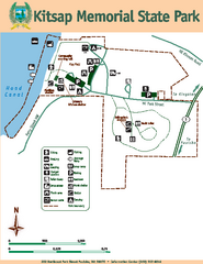
Kitsap Memorial State Park Map
Map of island with detail of trails and recreation zones
1839 miles away
Stottlemeyer trails Map
1839 miles away

Centennial Trail Map
Centennial Trail has 23 miles completed (Snohomish to Bryant) with more in progress.
1840 miles away
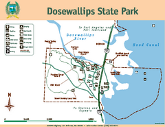
Dosewallips State Park Map
Map of park with detail of trails and recreation zones
1841 miles away

