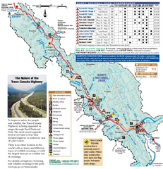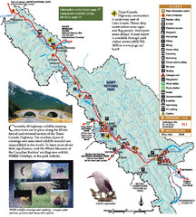
Banff National Park Map
1800 miles away
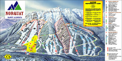
Banff Mount Norquay Ski Trail Map
Trail map from Banff Mount Norquay, which provides downhill skiing. This ski area has its own...
1800 miles away
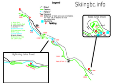
Manning Park Resort 2004–07 Manning Park...
Trail map from Manning Park Resort, which provides downhill and nordic skiing. It has 4 lifts...
1801 miles away
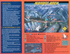
Manning Park Resort 2004–07 Manning Park Cross...
Trail map from Manning Park Resort, which provides downhill and nordic skiing. It has 4 lifts...
1801 miles away

Skagit County Washington, 1909 Map
1801 miles away
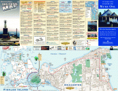
Fidalgo Island tourist map
Tourist map of Fidalgo Island in Anacortes, Washington. Shows recreation and points of interest.
1801 miles away
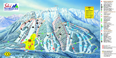
Norquay Map
Ski trail map
1802 miles away
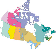
Canada Province Map
1802 miles away
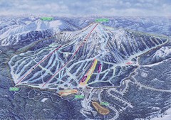
Apex Mountain Ski Resort Map
Apex Mountain Trail Map, Lifts and Elevations
1802 miles away
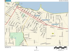
Port Angeles City Map
1803 miles away
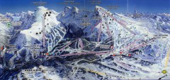
Sunshine Village Ski Trail Map
Official ski trail map of Sunshine Village ski area.
1803 miles away
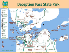
Deception Pass State Park Map
Map of park with detail of trails and recreation zones
1803 miles away
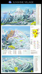
Sunshine Trail Map
Trail map of Sunshine Village
1803 miles away
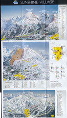
Banff’s Sunshine Village Ski Trail Map
Trail map from Banff’s Sunshine Village.
1803 miles away
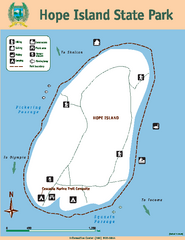
Hope Island State Park Map
Map of park with detail of trails and recreation zones
1804 miles away
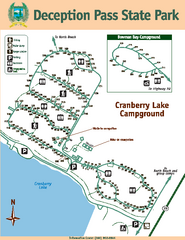
Deception Pass State Park Map
Map of park with detail of trails and recreation zones
1804 miles away
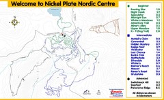
Nickel Plate Nordic Centre Ski Trail Map
Trail map from Nickel Plate Nordic Centre.
1805 miles away
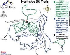
Nickel Plate Nordic Centre North Ski Trail Map
Trail map from Nickel Plate Nordic Centre.
1805 miles away
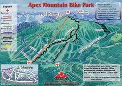
Apex Mountain Resort Biking Ski Trail Map
Trail map from Apex Mountain Resort, which provides downhill and terrain park skiing. It has 5...
1805 miles away
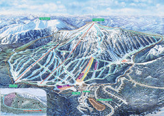
Apex Mountain Ski Trail Map
Official ski trail map of Apex Mountain ski area
1805 miles away
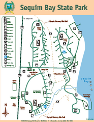
Sequim Bay State Park Map
Map of park with detail of trails and recreation zones
1805 miles away
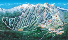
Big White Ski Trail Map
Official ski trail map of Big White ski area from the 2007-2008 season.
1807 miles away
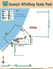
Joseph Whidbey State Park Map
Map of park with detail of trails and recreation zones
1807 miles away
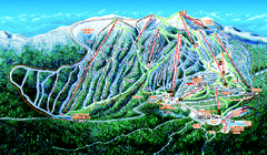
Big White Ski Resort Ski Trail Map
Trail map from Big White Ski Resort, which provides downhill, night, nordic, and terrain park...
1808 miles away
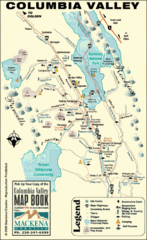
Columbia Valley Map
Easy to follow map and legend of this wilderness area.
1809 miles away

Oak Harbor tourist map
Tourist map of Oak Harbor, Washington. Shows all businesses.
1810 miles away
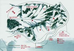
Hurricane Ridge Ski Trail Map
Trail map from Hurricane Ridge.
1811 miles away
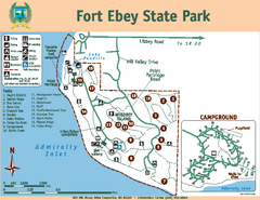
Fort Ebey State Park Map
Map of park with detail of trails and recreation zones
1811 miles away
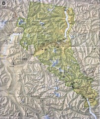
North Cascades National Park Physical Map
National Park
1811 miles away
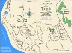
Ft Ebey/Kettle Park Trail Map
Trail map of Fort Ebey Park and Kettle Park, Washington
1812 miles away
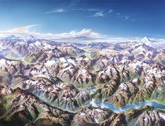
North Cascades National Park Oblique Map
Oblique map looking across Ross Damn, and Diablo Lake towards Seattle
1812 miles away
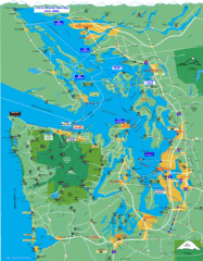
Seattle Ferry Guide Map
Map of ferries around Seattle, Puget Sound and Olympic Peninsula
1812 miles away
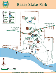
Rasar State Park Map
Map of park with detail of trails and recreation zones
1812 miles away

Coupeville tourist map
Tourist map of Coupeville, Washington. Shows all businesses.
1813 miles away
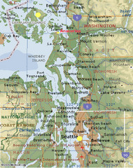
Washington State - West Coast Map
Washington State - West Coast Map
1815 miles away
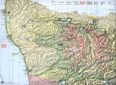
Olympic National Park Map
1816 miles away
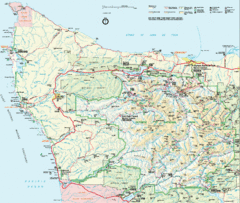
Olympic National Park Map
1816 miles away
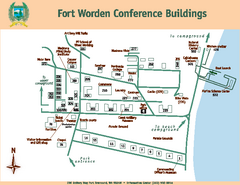
Fort Worden Conference Buildings Map
Map of conference buildings in Fort Worden State Park
1816 miles away

