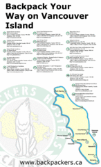
Vancouver Island Backpacking Map
Shows hostels on Vancouver Island, BC
1436 miles away
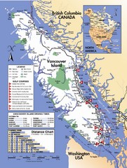
Vancouver Island Road Map
1440 miles away
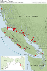
BC Salmon Farms Map
Shows fishfarms in BC around Vancouver Island, highest concentration of fish farms in North Pacific
1442 miles away
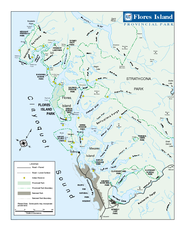
Flores Island Provincial Park Area Map
Park map of area around Flores Island Provincial Park, BC in the Clayoquot Sound. Flores Island is...
1443 miles away
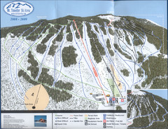
Mt Timothy Ski Trail Map
Trail map from Mt Timothy.
1443 miles away
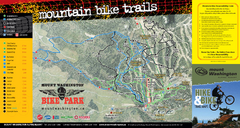
Mt. Washington Resort Summer Mountain Biking Ski...
Trail map from Mt. Washington Resort, which provides downhill and nordic skiing.
1443 miles away
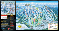
Mt. Washington Resort Ski Trail Map
Trail map from Mt. Washington Resort, which provides downhill and nordic skiing.
1443 miles away
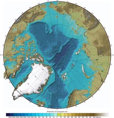
Arctic Ocean Bathymetry Map
1445 miles away
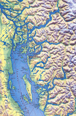
Northern Gulf Map
Map of Northern Gulf Islands
1448 miles away
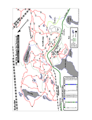
108 Mile House Ski Trail Map
Trail map from 108 Mile House.
1450 miles away
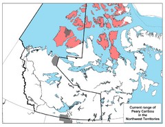
Peary Caribou Range Map
1451 miles away
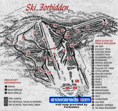
Pre-1999 Forbidden Plateau Map #2
Trail map from Forbidden Plateau.
1451 miles away
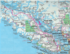
Vancouver Island Road Map
1453 miles away
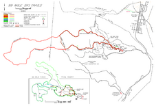
99 Mile Ski Ski Trail Map
Trail map from 99 Mile Ski Trails, which provides nordic skiing. This ski area has its own website.
1456 miles away
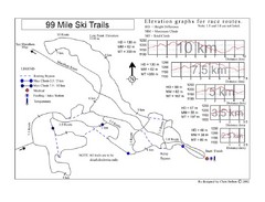
99 Mile Ski Race Routes Ski Trail Map
Trail map from 99 Mile Ski Trails, which provides nordic skiing. This ski area has its own website.
1456 miles away
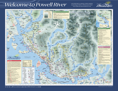
Upper Sunshine Coast Recreation Map
Recreation map of Upper Sunshine Coast in BC. Shows hiking trails, kayaking and canoeing routes...
1460 miles away
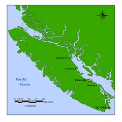
Vancouver Island Overview Map
Town of Parksville highlighted.
1467 miles away
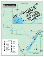
Birkenhead Lake Provincial Park Map
Park map of Birkenhead Lake Provincial Park, BC. Inset of campground
1472 miles away
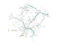
Pemberton Valley Area Parks Map
Area parks map of Pemberton Valley area in BC. Shows peaks and lakes.
1472 miles away
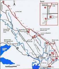
Log Train Trail Map
Trail map of the Log Train Trail near Port Alberni, Vancouver Island
1480 miles away
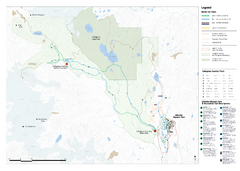
Callaghan Country Nordic Ski Trail Map
Trail map from Callaghan Country, which provides nordic skiing. This ski area opened in 1998, and...
1482 miles away
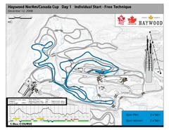
Whistler Olympic Park (Callaghan Nordic Centre...
Trail map from Whistler Olympic Park (Callaghan Nordic Centre), which provides night and nordic...
1482 miles away
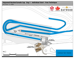
Whistler Olympic Park (Callaghan Nordic Centre...
Trail map from Whistler Olympic Park (Callaghan Nordic Centre), which provides night and nordic...
1482 miles away
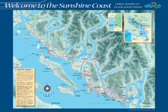
Sunshine Coast Recreation Map
Recreation map of the Sunshine Coast in BC. Shows trails for hiking (in yellow) and mountain...
1485 miles away
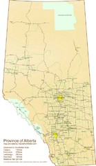
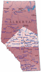
Alberta Tourist Map
Cities and areas in Alberta, Canada
1486 miles away
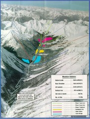
Cayoosh Resort (Melvin Creek) Ski Trail Map
Trail map from Cayoosh Resort (Melvin Creek), which provides downhill skiing.
1486 miles away
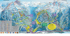
Trail Map Whistler Blackcomb
Map of all trails and ski runs at Whistler and Blackcomb mountains. Includes detailed information...
1486 miles away
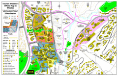
Whistler Village Map
1488 miles away
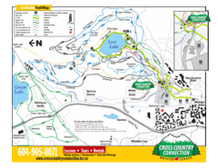
Lost Lake, Whistler Hiking and Biking Trail Map
1488 miles away
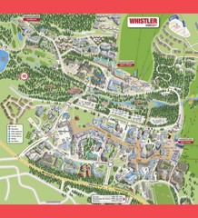
Whistler Village Map
1488 miles away
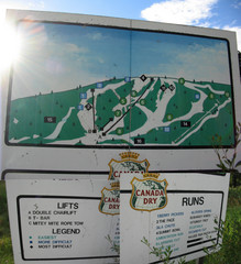
Silver Summit Ski Trail Map
Trail map from Silver Summit, which provides downhill and nordic skiing. This ski area has its own...
1488 miles away
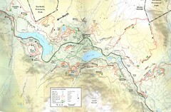
Whistler, CA Hiking and Biking Trails Map
1488 miles away
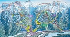
Whistler Blackcomb Trail Map
1488 miles away

Creekside Map
Tourist map of Creekside Village
1488 miles away
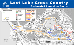
Whistler Cross Country Connection Snowshoeing Ski...
Trail map from Whistler Cross Country Connection.
1488 miles away
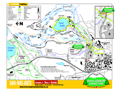
Whistler Cross Country Connection 2006–07...
Trail map from Whistler Cross Country Connection.
1488 miles away
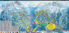
Whistler Blackcomb Ski Resort Map
Ski runs, lifts and amenities on the resort map
1488 miles away
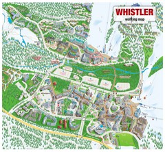
Whistler Village Map
1488 miles away

