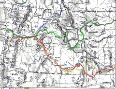
Oregon Trail Map
Old sketch map with modern cities, forts/ trading posts, and missions/churches superimposed. Shows...
1889 miles away

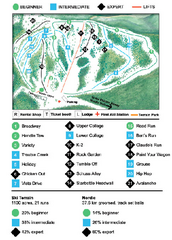
Wapiti Valley Ski Trail Map
Trail map from Wapiti Valley, which provides downhill skiing. This ski area has its own website.
1889 miles away
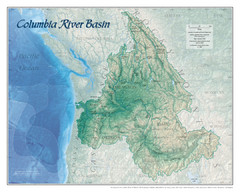
Columbia River Basin Map
1893 miles away
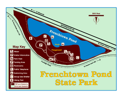
Frenchtown Pond State Park Map
Plan to bring everyone in the family to this day-use-only park for a whole afternoon of picnicking...
1904 miles away
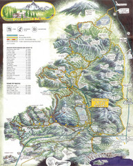
Diamond Lake Tourist Map
1904 miles away
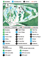
Anthony Lakes Mountain Resort Ski Trail Map
Trail map from Anthony Lakes Mountain Resort.
1905 miles away
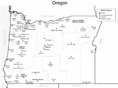
Oregon Airport Map
1908 miles away
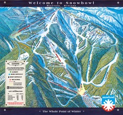
Montana Snowbowl Ski Trail Map
Trail map from Montana Snowbowl.
1912 miles away
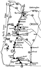
Oregon Walks Map
Walks in Portland, Oregon City, Corvallis, Salem, Lebanon, Albany, Eugene, Springfield, Junction...
1913 miles away
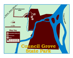
Council Grove State Park Map
Clearly marked map.
1913 miles away
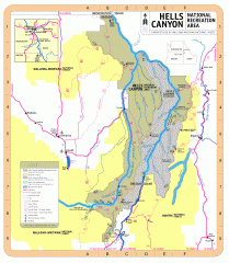
Hells Canyon National Recreation Area Map
Official Forest Service map of the Hells Canyon National Recreation Area. Shows roads, trails...
1915 miles away
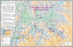
Oregon Rogue Valley wineries Map
Southern Oregon's Rogue Valley wineries
1917 miles away
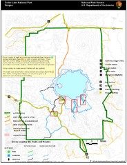
Crater Lake National Park Map
1917 miles away
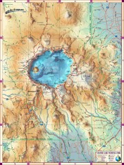
Crater Lake National Park map
Great map of Crater Lake National Park shows all trails, viewpoints, mountains, roads, campgrounds...
1918 miles away
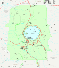
Crater Lake National Park official map
Official map of Crater Lake National Park. Shows hiking trails, elevations of peaks, roads, and...
1918 miles away
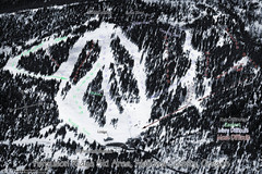
Ferguson Ridge Ski Trail Map
Trail map from Ferguson Ridge.
1919 miles away

Missoula, Montana City Map
1920 miles away
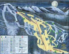
Marshall Mountain Ski Trail Map
Trail map from Marshall Mountain.
1920 miles away
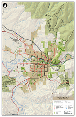
Missoula Bike Trails Map
Road and Mt. Bike trails with a bit of topology near Missoua
1920 miles away

Missoula Trail System Map
Basic Map of Hike/Bike/Run Trail system for Missoula MT
1920 miles away
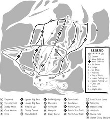
Teton Pass Ski Area Ski Trail Map
Trail map from Teton Pass Ski Area.
1923 miles away
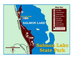
Salmon Lake State Park Map
Immediately adjacent to Montana 83, this park is an access point to one of the beautiful lakes in...
1926 miles away
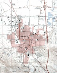
Baker City, Oregeon Tourist Map
1927 miles away
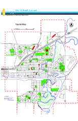
Swift Current Tourist Map
Tourist map of Swift Current, Saskatchewan. Shows all parks and walking paths.
1929 miles away
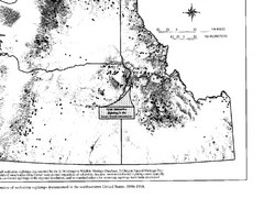
Map of Wolverine Sightings: 1886 -- 1998
1933 miles away

Bear Creek Greenway Map
Trail map of the Bear Creek Greenway connecting Central Point to Ashland, Oregon. Will eventually...
1935 miles away
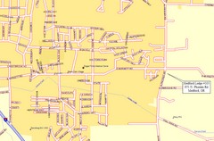
Medford, Oregon City Map
1935 miles away
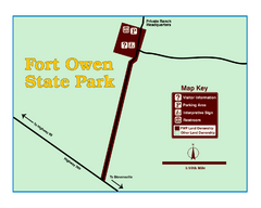
Fort Owen State Park Map
Fort Owen’s adobe and log remains preserves the site of the first permanent white settlement...
1937 miles away
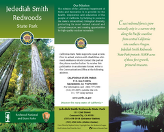
Jedediah Smith Redwoods State Park Map
Map of park with detail of trails and recreation zones
1938 miles away
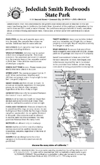
Jedediah Smith Redwoods State Park Campground Map
Map of campground region of park with detail of trails and recreation zones
1938 miles away
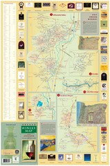
Oregon Winery Map / Local Side
1940 miles away
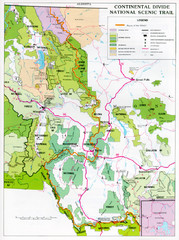
Continental Divide Scenic Trail Map
Guide to the Montana portion of the Continental Divide trail
1941 miles away
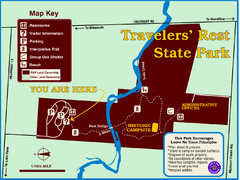
Travelers' Rest State Park Map
The Lewis and Clark expedition camped here twice during their historic journey to locate the...
1941 miles away
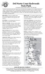
Del Norte Coast Redwoods State Park Campground Map
Map of park with detail of trails and recreation zones
1943 miles away
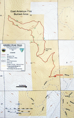
Grizzly Peak Trail Map
Topographic trail map of Grizzly Peak near Ashland, Oregon. Shows trails and distances. From...
1945 miles away
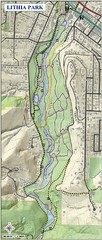
Lithia Park Trail Map
Trail map of Lithia Park in town of Ashland, Oregon. Adjacent to the Oregon Shakespeare Festival.
1947 miles away
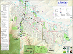
Ashland Trails Map
Trail map of Ashland, Oregon. Shows bicycle routes and public parks and trails.
1948 miles away

