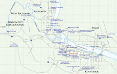
Kennewick Hotel Map
1803 miles away
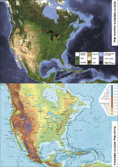
North America Satellite Relief Pair Map
A satellite image of North America twinned with a relief (or physical) representation of the same...
1806 miles away
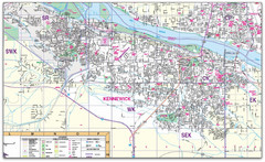
Kennewick, Washington City Map
1809 miles away

City of Kennewick Map
Simple road map of Kennewick.
1809 miles away
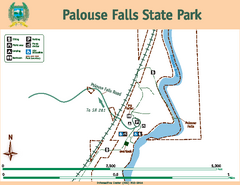
Palouse Falls State Park Map
Map of park with detail of trails and recreation zones
1810 miles away
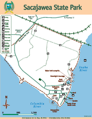
Sacajawea State Park Map
Map of park with detail of trails and recreation zones
1812 miles away
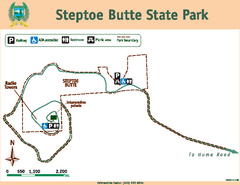
Steptoe Butt State Park Map
Map of park with detail of trails and recreation zones
1816 miles away
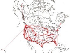
North America Layout Map
Countries, states and provinces in North America
1816 miles away
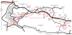
Trail of the Coeur d'Alenes Map
Shows the Trail of the Coeur d'Alenes, a 72 mile bike path that follows the Union Pacific...
1819 miles away
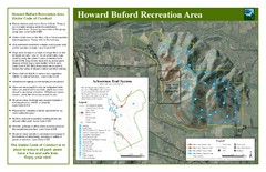
Howard Buford Recreational Area Trails Map
Map of the Howard Buford Recreational Area trails, roads, picnic areas, bathrooms, attractions.
1820 miles away
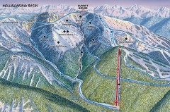
Whitefish Mountain Ski Trail Map - Hellroaring...
Official ski trail map of Whitefish Mountain ski area from the 2007-2008 season. (formerly named...
1823 miles away
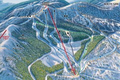
Whitefish Mountain Ski Trail Map - North Side
Official ski trail map of Whitefish Mountain ski area from the 2007-2008 season. (formerly named...
1823 miles away
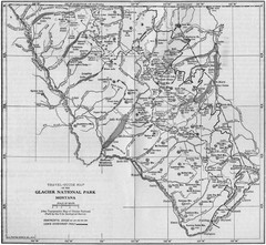
1915 Glacier National Park Map
Historical map of Glacier National Park in Montana.
1823 miles away
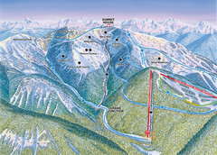
Whitefish Mountain Resort Hellroaring Ski Trail...
Trail map from Whitefish Mountain Resort.
1823 miles away

Whitefish Mountain Resort Northside Ski Trail Map
Trail map from Whitefish Mountain Resort.
1823 miles away
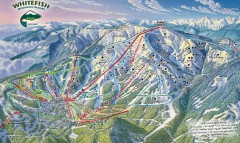
Whitefish Mountain Ski Trail Map - Front Side
Official ski trail map of Whitefish Mountain ski area from the 2007-2008 season. (formerly named...
1823 miles away
Silver Mountain Resort Ski Trail Map
Trail map from Silver Mountain Resort, which provides downhill, night, and terrain park skiing. It...
1824 miles away
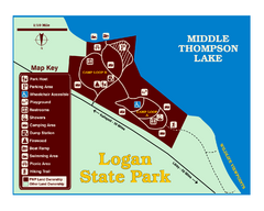
Logan State Park Map
With frontage on the north shore of Middle Thompson Lake, Logan is heavily forested with western...
1825 miles away
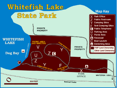
Whitefish Lake State Park Map
Although it’s right on the outskirts of Whitefish, this small park provides a mature forest...
1826 miles away

Eugene Parks map
City of Eugene Parks Map. Includes streets and trails.
1827 miles away
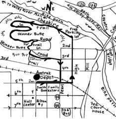
Eugene Oregon Walk, Skinner Butte and River Path...
Walk on the Willamette River Bike path, up Skinner Butte on a forest path and through a historic...
1827 miles away
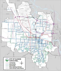
Eugene, Oregon City Map
1827 miles away
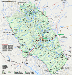
Glacier National Park official map
Glacier National Park official map.
1828 miles away
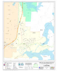
Lakeside Oregon Road Map
1828 miles away
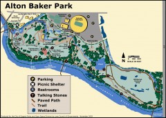
Alton Baker Park Map
Shows parking, picnic shelters, restrooms, talking stones, paved path, trail, and wetlands. Alton...
1828 miles away
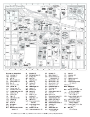
University of Oregon campus map
University of Oregon campus map with building abbreviations
1828 miles away
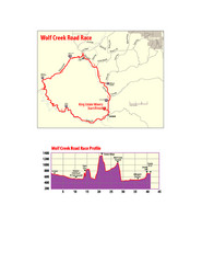
Wolf Creek Road Race Route and Route Elevation Map
Route map and elevation of Wolf Creek bike Race
1828 miles away

Glacier National Park by carvedmaps.com Map
Wooden carved map of Glacier National Park by carvedmaps.com Anywhere in the United States maps...
1829 miles away
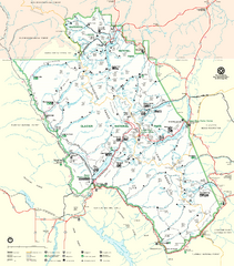
Glacier National Park Trail Map
Trails campgrounds and ranger stations.
1830 miles away
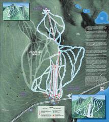
Willamette Pass Ski Trail Map
Trail map from Willamette Pass.
1833 miles away
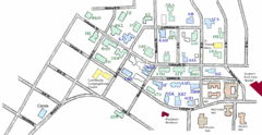
Washington State University's Greek Row Map
Map of WSU's fraternities and sororities
1836 miles away

Pullman Parks Trail Map
Trails and pathways map
1836 miles away
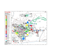
Washington State University Map
Washington State University Campus Map. All buildings shown.
1836 miles away
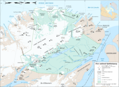
Parc National Quttinirpaaq Map
Map of Quttinirpaaq National Park, Nunavut, Canada. Shows glaciers, rivers, bodies of water, and...
1837 miles away
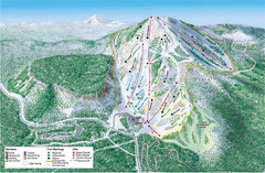
Hoodoo Mountain Ski Trail Map
Ski trail map of Hoodoo Mountain ski area.
1838 miles away

Canada Imports Cartogram 2003 Map
Cartograms are a great way to visualize statistics! Here the world's countries are re-sized...
1838 miles away
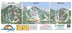
Lookout Pass Ski Trail Map
Official ski trail map of Lookout Pass ski area from the 2007-2008 season. Shows Montana, Idaho...
1839 miles away
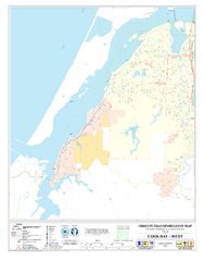
West Coos Bay Oregon Road Map
1839 miles away
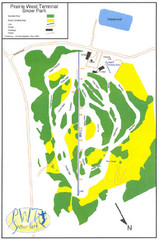
Prairie West Terminal Snow Park (Twin Towers) Ski...
Trail map from Prairie West Terminal Snow Park (Twin Towers), which provides downhill skiing. This...
1839 miles away

