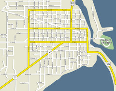
Sandpoint City Beach Map
Downtown Sandpoint Map.
1770 miles away
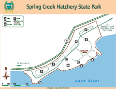
Spring Creek Hatchery State Park map
Map of park with detail of trails and recreation zones
1770 miles away
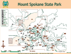
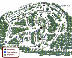
Mount Spokane State Park Map
Map of park with detail of trails and recreation zones
1772 miles away
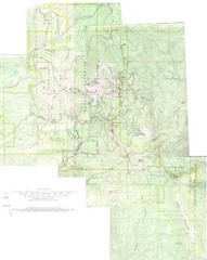
Mount Spokane Trail Map
Contour map of Mount Spokane
1773 miles away
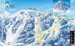
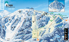
Mt. Spokane Ski Trail Map
Official ski trail map of Mount Spokane ski area from the 2006-2007 season.
1773 miles away
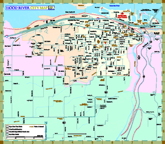
Hood River Map
Tourist map of city of Hood River, Oregon.
1773 miles away
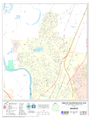
Keizer Oregon Road Map
1774 miles away
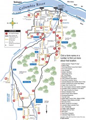
Hood River County Fruit Loop map
35-mile scenic drive through the valley's orchards, forests, farmlands, and friendly...
1774 miles away
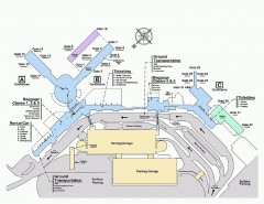
Spokane International Airport Terminal Map
Official Map of Spokane International Airport in Washington state. Shows all terminals.
1776 miles away

Independence Oregon Road Map
1778 miles away
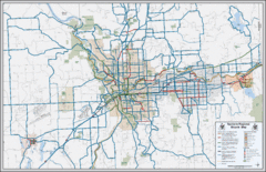
Spokane, Washington Bike Map
1778 miles away
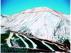
Castle Mountain Resort Ski Trail Map
Trail map from Castle Mountain Resort, which provides downhill skiing. This ski area has its own...
1778 miles away
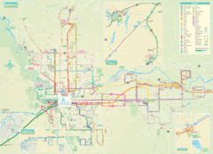
Spokane Guide Map
Roads and areas in and around Spokane, Washington
1778 miles away
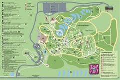
Oregon Garden Map
Map and key marking trails and more in this amazing garden.
1780 miles away
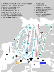
Table Mountain Ski Trail Map
Trail map from Table Mountain, which provides downhill skiing. This ski area has its own website.
1781 miles away
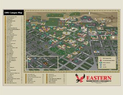
Eastern Washington University Campus Map
Campus map of Eastern Washington University in Cheney, Washington
1782 miles away
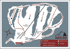
Cooper Spur Ski Area Ski Trail Map
Trail map from Cooper Spur Ski Area.
1783 miles away

Canada's Import by Country (2003) Map
Cartograms are a great way to present statistical information. The size of each country is re-sized...
1784 miles away
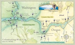
Columbia Gorge Wine Map
Wineries of the Columbia River Gorge area, Oregon.
1784 miles away
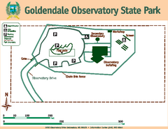
Goldendale State Park Map
Map of park with detail of trails and recreation zones
1784 miles away
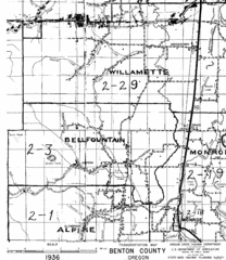
Transportaion for Benton County 1936 Map
1936 Map of Benton County, Oregon known as Muddy Area with counties, roads and towns marked
1785 miles away
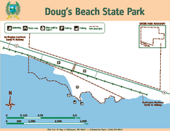
Dougs Beach State Park Map
Map of park with detail of trails and recreation zones
1786 miles away
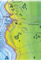
Cape Perpetua Map
1787 miles away

Timberline Ski Area Ski Trail Map
Trail map from Timberline Ski Area.
1789 miles away
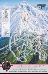
Timberline Ski Trail Map
Official ski trail map of Timberline Lodge ski area from the 2007-2008 season.
1789 miles away
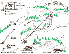
Summit Ski Area Ski Trail Map
Trail map from Summit Ski Area.
1789 miles away
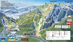
Mt. Hood Skibowl Ski Trail Map
Official ski trail map of ski area from the 2007-2008 season.
1789 miles away

Mt. Hood SkiBowl Ski Trail Map
Trail map from Mt. Hood SkiBowl.
1790 miles away
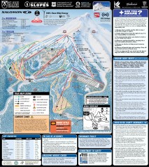
Mt. Hood Meadows Ski Trail Map
Official ski trail map of Mt. Hood Meadows ski area from the 2007-2008 season.
1790 miles away
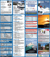
Mt. Hood Meadows Ski Resort Ski Trail Map
Trail map from Mt. Hood Meadows Ski Resort.
1790 miles away
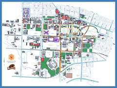
Oregon State University Campus Map
Campus map of Oregon State University in Corvallis, Oregon
1792 miles away
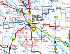
North Battleford, Saskatchewan Map
1792 miles away
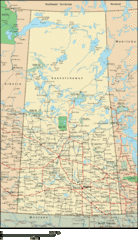
Saskatchewan Overview Map
Overview map of the Canadian province of Saskatchewan.
1794 miles away
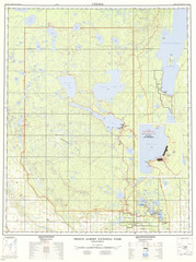
Prince Albert National Park Topo Map
Topographical map of Prince Albert National Park in Saskatchewan, Canada. From atlas.nrcan.gc.ca...
1798 miles away
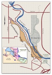
JackRabbit Ridge Natural Area Map
Shows urban wildlands
1799 miles away
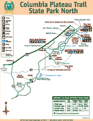
Columbia Plateau Trail State Park North Map
Map of park with detail of trails and recreation zones
1802 miles away
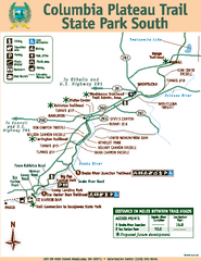
Columbia Plateau Trail State Park South Map
Map of park with detail of trails and recreation zones
1802 miles away
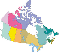
Canada Province Map
1803 miles away

