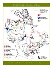
Portland Japanese Garden Map
So Far My favorite Japanese Garden
1752 miles away
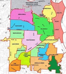
Portland, Oregon Neighborhood Map
1752 miles away
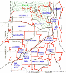
Portland, Oregon Neighborhood Map
1752 miles away
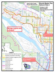
Portland, Oregon Bike Map
1752 miles away
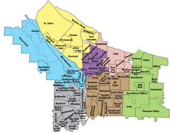
Portland, Oregon Neighborhood Map
1752 miles away
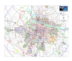
Portland, Oregon Tourist Map
1752 miles away
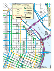
North Downtown Portland Bike Parking Map
Biking map of northern downtown Portland, Oregon. Shows bike paths, parking, and stores.
1752 miles away
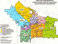
Portland Neighborhood Map
Shows neighborhood associations of Portland, Oregon.
1752 miles away
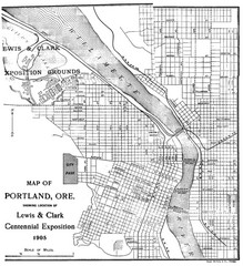
Portland, Oregon Map
Map of Portland, Oregon during centennial exposition of the Lewis & Clark Exploration...
1752 miles away
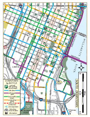
South Downtown Portland Bike Map
Biking map of southern downtown Portland, Oregon. Shows bike paths, bike parking, and bike shops.
1752 miles away
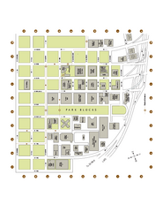
Portland State University Map
Campus Map of Portland State University. All buildings shown.
1753 miles away

Maywood Park Oregon Road Map
1753 miles away

Tigard Oregon Road Map
1755 miles away
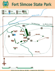
Fort Simcoe State Park Map
Map of park with detail of trails and recreation zones
1755 miles away

King City Oregon Road Map
1755 miles away

Lake Oswego Oregon Road Map
1758 miles away
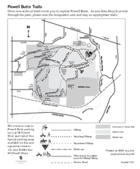
Powell Butte Nature Park Trail Map
Trail map of Powell Butte Nature Park. Shows over 9 miles of trails
1759 miles away
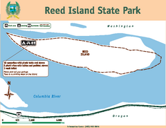
Reed Island State Park Map
Map of park with detail of trails and recreation zones
1760 miles away
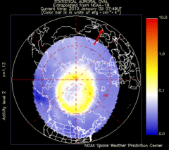
Aurora Borealis in Real Time Map
Aurora Borealis as seen by satellite superimposed on the northern hemisphere of the globe.
1760 miles away
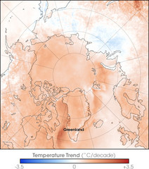
Arctic Temperature Change: 1987 -- 2007 Map
1760 miles away

Happy Valley Oregon Road Map
1760 miles away
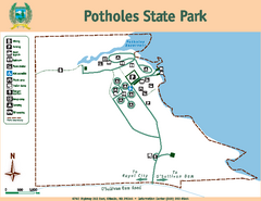
Potholes State Park Map
Map of park with detail of trails and recreation zones
1760 miles away
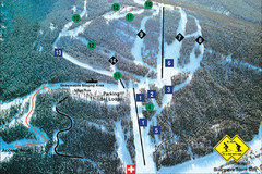
Pass Powderkeg Ski Trail Map
Trail map from Pass Powderkeg, which provides downhill skiing. This ski area has its own website.
1762 miles away
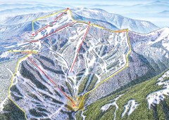
Schweitzer Ski Trail Map - Outback Bowl
Official ski trail map of back side of Schweitzer ski area from the 2007-2008 season.
1762 miles away
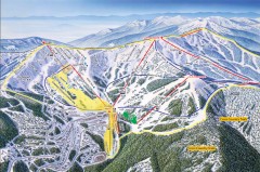
Schweitzer Ski Trail Map - Front
Official ski trail map of front side of Schweitzer ski area from the 2007-2008 season.
1762 miles away
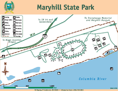
Maryhill State Park Map
Map of park with detail of trails and recreation zones
1764 miles away
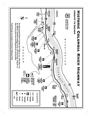
Historic Columbia River Highway Map
Official map from the US Forest Service. Shows the Corbett to Dodson stretch of Highway 30 with...
1764 miles away
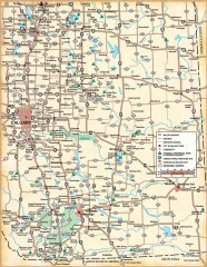
Southern Alberta Map
Shows highways, cities and towns, national/provincial parks and recreation areas, UNESCO World...
1764 miles away
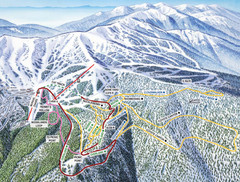
Schweitzer Mountain Trail Map
Ski trail map of Schweitzer Mountin
1765 miles away

Schweitzer Mountain Trail Map
Map of ski trails
1765 miles away
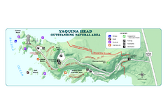
Yaquina Head Outstanding National Area Map
1765 miles away
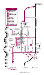
Nye Beach Tourist Map
1767 miles away
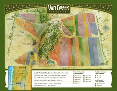
Van Duzer Vineyard Map
"A colorful vineyard map that shows the location of Van Duzer’s numerous grape varietals...
1767 miles away
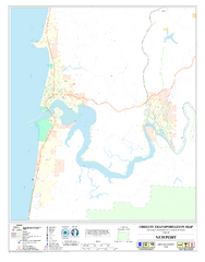
Newport Oregon Road Map
1768 miles away
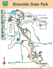
Riverside State Park Map
Map of park with detail of trails and recreation zones
1768 miles away
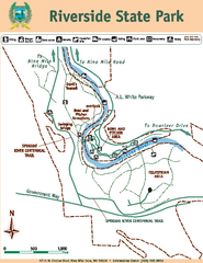
Riverside State Park Map
Map of park with detail of trails and recreation zones
1768 miles away
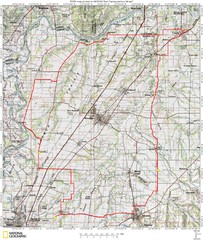
Spring Century Bike Route Map
Oregon Spring Century Ride
1769 miles away

Sandpoint City Map
Street map of downtown Sandpoint
1770 miles away
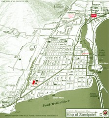
Map of Sandpoint, Idaho
Map of the entire town of Sandpoint including all streets, highways and other information.
1770 miles away


