
Kootenay Rockies Map
The Kootenay Rockies Range in British Columbia, Canada
1722 miles away
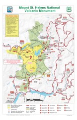
Mt. Saint Helens National Volcanic Monument...
Official recreation map showing all roads, trails, campgrounds, and other facilities. Also shows...
1723 miles away
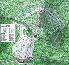
White Pass Ski Area Ski Trail Map
Trail map from White Pass Ski Area, which provides downhill, nordic, and terrain park skiing. It...
1723 miles away
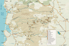
Tillamook State Forest Map
Recreation map of Tillamook State Forest. Over 60 miles of non-motorized trails and 150 miles of...
1723 miles away
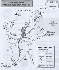
Little Pend Oreille Off Road Vehicle (ORV) Area...
Map of the Off Road Vehicle Area in Little Pend Oreille, Washington. Includes all bike trails...
1726 miles away
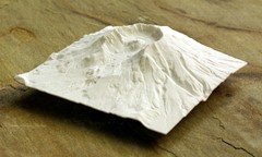
Mt. St. Helens 3D Print Map
This is a 3D-printed map of the cone, crater, and summit of Mt. St. Helens in Washington, USA. It...
1726 miles away
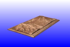
Mount St. Helens carved in wood by carvedmaps.com...
Mount St. Helens carved in wood by carvedmaps.com
1726 miles away
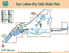
Sun Lakes-Dry Falls State Park Map
Map of park with detail of trails and recreation zones
1726 miles away
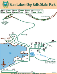
Sun Lakes-Dry Falls State Park Map
Map of park with detail of trails and recreation zones
1726 miles away
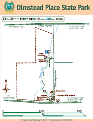
Olmstead Place State Park Map
Map of park with detail of trails and recreation zones
1729 miles away
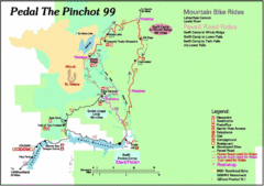
Pedal the Pinchot Bike Ride Route Map
Route Map for the Pedal the Pinchot 99 bike ride - annotated on a Park trail map.
1731 miles away
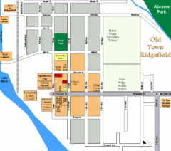
Guide Map of Old Town Ridgefield
Guide Map of Old Town Ridgefield, Washington
1734 miles away
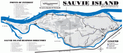
Sauvie Island tourist map
Tourist map of Sauvie Island in Oregon. Shows all businesses and points of interest.
1736 miles away
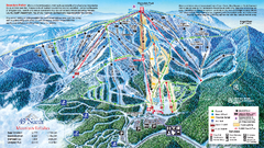
49 North Mountain Resort Ski Trail Map
Trail map from 49 North Mountain Resort, which provides downhill, night, nordic, and terrain park...
1739 miles away
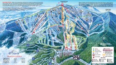
49 Degrees North Ski Trail Map
Official ski trail map of ski area from the 2007-2008 season.
1739 miles away
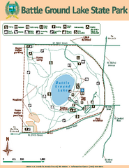
Battle Ground Lake State Park Map
Map of park with detail of trails and recreation zones
1740 miles away
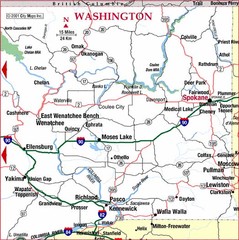
Eastern Washington Road Map
1742 miles away
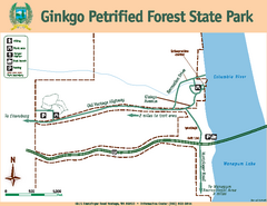
Ginkgo Petrified Forest State Park Map
Map of park with detail of trails and recreation zones
1744 miles away
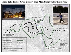
Island Lake Lodge Ski Trail Map
Trail map from Island Lake Lodge, which provides nordic skiing. This ski area has its own website.
1745 miles away
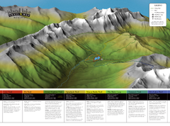
Island Lake Hiking Map
Hiking trail map of Island Lake area near Fernie, BC
1745 miles away
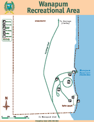
Wanapum Recreational Area Map
Map of park with detail of trails and recreation zones
1747 miles away
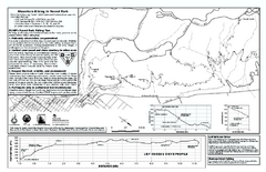
Forest Park Mountain Biking Map
Forest Park now includes over 5,100 wooded acres making it the largest, forested natural area...
1747 miles away
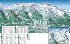
Fernie Alpine Trail Map
Ski trail map
1748 miles away
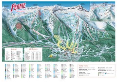
Fernie Mountain Trail Map
1748 miles away
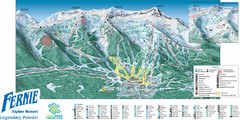
Fernie Mountain Trail Map
1749 miles away
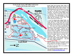
Fernie Golf Course Ski Trail Map
Trail map from Fernie Golf Course, which provides nordic skiing. This ski area has its own website.
1749 miles away
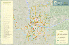
Bi-State Regional Trail System Plan Map
Shows plan for developing 37 Bi-State Regional Trails
1749 miles away
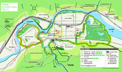
Fernie Town Trails Map
Trail map of recreational trails in and around town of Fernie, BC
1749 miles away

Yakima, Washington City Map
1749 miles away
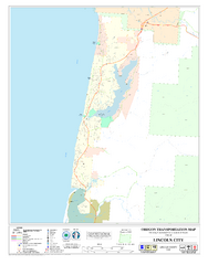
Lincoln City Oregon Road Map
1750 miles away
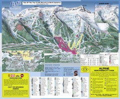
Fernie Ski Trail Map
Official ski trail map of Fernie ski area from the 2007-2008 season.
1750 miles away
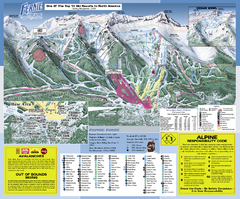
Fernie Alpine Resort Ski Trail Map
Trail map from Fernie Alpine Resort, which provides downhill and nordic skiing. This ski area has...
1750 miles away
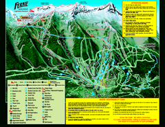
Fernie Alpine Resort 2007 Fernie Summer Map
Trail map from Fernie Alpine Resort, which provides downhill and nordic skiing. This ski area has...
1750 miles away
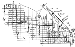
Pearl District Walking Map, Portland Oregon Map
Walk through the Pearl District, along the Willamette River and up to 23rd Street. Detour to the...
1751 miles away
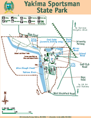
Yakima Sportsman State Park Map
Map of park with detail of trails and recreation zones
1751 miles away
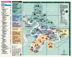
Oregon Zoo Map 2009
1752 miles away
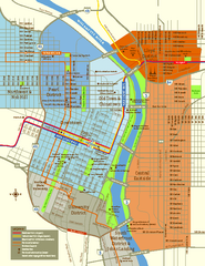
Central Portland, Oregon Map
Tourist map of Portland, Oregon. Shows museums, sports arenas, parks, and public transportation.
1752 miles away
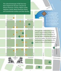
Old Town-China Town Map
Portland's oldest neighborhoods and history are easily seen in Old Town-China Town.
1752 miles away
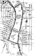
Portland Oregon downtown walk Map
Walk from the Amtrak Station to the Oregon Museum of Science and Industry. 4 miles round trip...
1752 miles away


