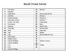
Fortress Bandit Chutes Run Names List Map
Trail map from Fortress, which provides downhill skiing.
1677 miles away
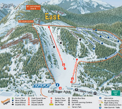
The Summit at Snoqualmie Summit East Ski Trail Map
Trail map from The Summit at Snoqualmie, which provides night and terrain park skiing. It has 30...
1678 miles away
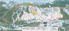
The Summit at Snoqualmie Summit Central Ski Trail...
Trail map from The Summit at Snoqualmie, which provides night and terrain park skiing. It has 30...
1678 miles away
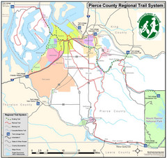
Pierce County Regional Trail Map
County-wide system of trails
1678 miles away
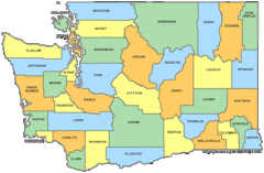
Washington State Counties Map
1679 miles away
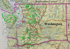
Washington State Road and Recreation Map
1679 miles away

Panorama Ski Area Trail Map
Guide to the Panorama Mountain Resort, outside Calgary, Canada
1682 miles away
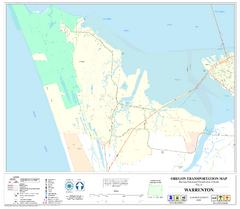
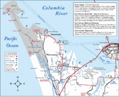
Warrenton Oregon Road Map
1682 miles away

Pierce County Washington Map, 1909 Map
1682 miles away
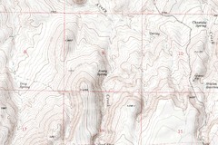
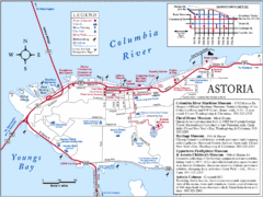
Astoria Oregon Map
A detailed topographic map of Astoria, Oregon and the Columbia River.
1683 miles away
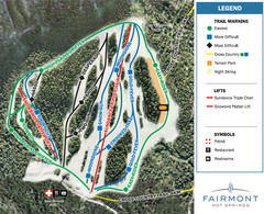
Fairmont Hot Springs Resort Ski Trail Map
Trail map from Fairmont Hot Springs Resort.
1683 miles away
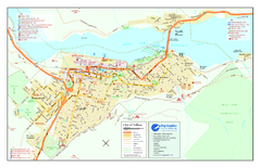
Nelson BC Town Map
1684 miles away
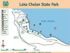
Lake Chelan State Park Map
Map of island with detail of trails and recreation zones
1687 miles away
2001 Wintergreen Downhill Map Part 2
Trail map from Wintergreen.
1688 miles away
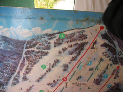
2001 Wintergreen Downhill Map Part 1
Trail map from Wintergreen.
1688 miles away

2006–08 Black Jack Nordic Map
Trail map from Black Jack.
1688 miles away

Red Mountain Ski Trail Map
Trail map from Red Mountain.
1689 miles away

Red Mountain Trail Map
Ski trail map
1690 miles away
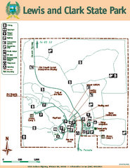
Lewis and Clark State Park Map
Map of park with detail of recreation zones and trails
1691 miles away
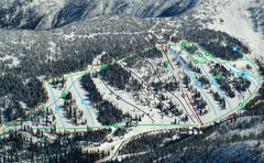
Whitewater Ski Resort Silver King Ski Trail Map
Trail map from Whitewater Ski Resort.
1691 miles away
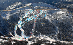
Whitewater Ski Resort Summit Ski Trail Map
Trail map from Whitewater Ski Resort.
1691 miles away
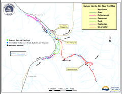
Nelson Nordic Ski Trail Map
Trail map from Nelson Nordic, which provides night and nordic skiing. This ski area has its own...
1691 miles away
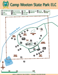
Camp Wooten State Park Map
Map of park with detail of trails and recreation zones
1692 miles away
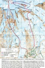
Mount Rainier Topo Map
Map of Mount Rainier Ascent. We ascended the "Muir Snowfield" and then went up the "...
1692 miles away
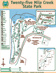
Twenty-Five Mile Creek State Park Map
Map of park with detail of trails and recreation zones
1692 miles away
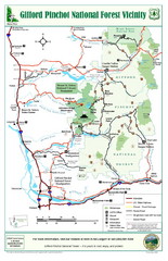
Gifford Pinchot National Forest Vicinity Map
Gifford Pinchot National Forest and surrounding areas including Mt. St Helens.
1692 miles away
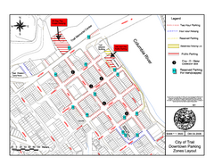
City of Trail Downtown Parking Map
Parking map of downtown Trail, British Columbia
1692 miles away
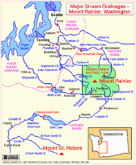
Mount Rainier Major Stream Drainages Map
1693 miles away

City of Trail BC Map
Map of city of Trail, BC on the Columbia River
1693 miles away
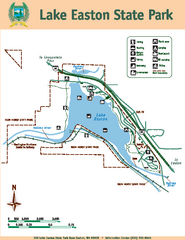
Lake Easton State Park Map
Map of island with detail of trails and recreation zones
1694 miles away
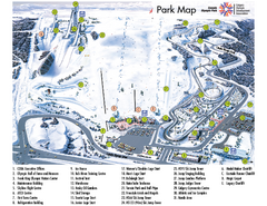
Canada Olympic Park Ski Trail Map
Trail map from Canada Olympic Park, which provides downhill skiing. This ski area has its own...
1694 miles away
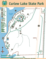
Curlew Lake State Park Map
Map of park with detail of trails and recreation zones
1695 miles away
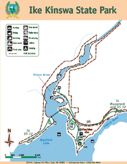
Ike Kinswa State Park Map
Map of park with detail of trails and recreation zones
1696 miles away
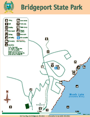
Bridgeport State Park Map
Map of park with detail of trails and recreation zones
1696 miles away
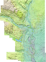
Calgary Topo Bike Map
This map shows the city of Calgary's bike routes. The topographic representation of the...
1699 miles away
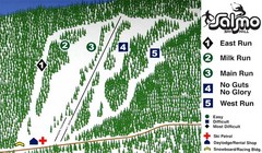
Salmo Ski Area Ski Trail Map
Trail map from Salmo Ski Area, which provides downhill skiing. This ski area has its own website.
1700 miles away
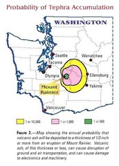
Mount Rainier Probability of Tephra (Ash...
1700 miles away
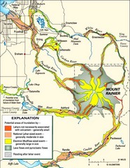
Mount Rainier Potential Lava Flow, Mud Flow and...
Hazard zones for lahars, lava flows, and pyroclastic flows from Mount Rainier. The map shows areas...
1700 miles away

