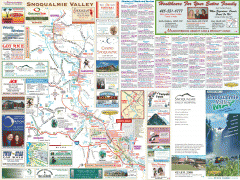
Snoqualmie Valley tourist map
Tourist map of the Snoqualmie Valley, Washington. Shows all businesses.
1657 miles away
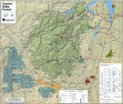
Capitol State Forest Map
Shows all trails in Capitol State Forest and surrounding area, including Lower Chehalis State...
1657 miles away

Kettle Valley Trails Map
Map of Kettle Valley Trails. Includes all trails, streets, and attractions.
1657 miles away
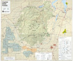
Capitol State Forest Map
1657 miles away
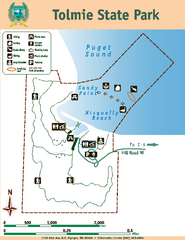
Tolmie State Park Map
Map of park with detail of trails and recreation zones
1658 miles away
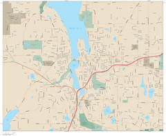
Olympia, Washington City Map
1659 miles away

Olympia Map
Map of downtown Olympia's parking and shuttle routes.
1659 miles away
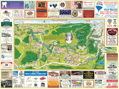
Snoqualmie tourist map
Snoqualmie, Washington tourist map. Shows all businesses.
1659 miles away
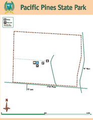
Pacific Pines State Park Map
Map of park with detail of trails and recreation zones
1659 miles away
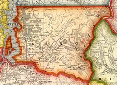
King County Washington, 1909 Map
1660 miles away
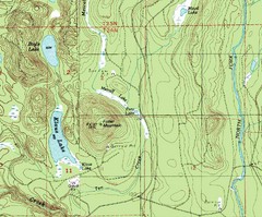
Fuller Mountain Topo Map
Fuller Mountain map with lakes, mountains and elevations identified.
1660 miles away
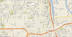
Tacoma, Washington City Map
1660 miles away
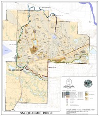
Snoqualmie Trail Map
Shows both soft surface and paved trails for biking, running/hiking/wailking, and horseback riding
1661 miles away
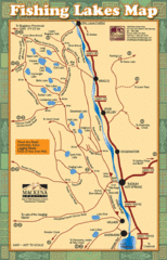
Radium Hot Springs Fishing Map
Beautiful map of the many fishing spots at this amazing site.
1661 miles away
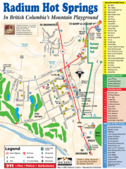
Radium Hot Springs Map
An easy to read map of this amazing hot springs area.
1661 miles away
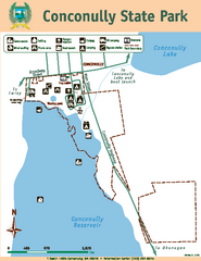
Conconully State Park Map
Map of park with detail of trails and recreation zones
1663 miles away
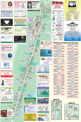
Milton tourist map
Tourist map of Milton, Washington. Shows all businesses.
1663 miles away
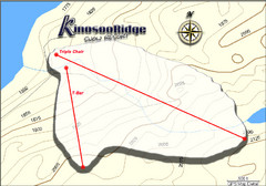
Kinosoo Ridge Topo Ski Trail Map
Trail map from Kinosoo Ridge, which provides downhill skiing. This ski area has its own website.
1664 miles away
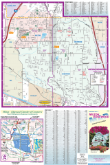
Milton and Edgewood tourist map
Tourist map of Milton and Edgewood, Washington. Shows all businesses.
1664 miles away

Panorama Trail Map
Ski trail map
1665 miles away
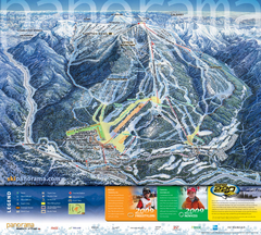
Panorama Mountain Village Ski Trail Map
Trail map from Panorama Mountain Village.
1665 miles away
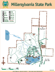
Millersylvania State Park Map
Map of park with detail of trails and recreation zones
1666 miles away
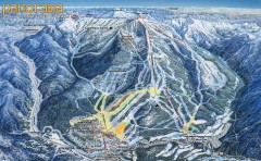
Panorama Ski Trail Map
Official ski trail map of Panorama ski area from the 2006-2007 season.
1666 miles away

Phoenix Mountain Ski Trail Map
Trail map from Phoenix Mountain.
1666 miles away
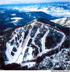
Loup Loup Ski Bowl Ski Trail Map
Trail map from Loup Loup Ski Bowl, which provides downhill, night, and nordic skiing. It has 2...
1667 miles away
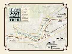
Iron Goat Trail Map
1667 miles away
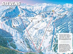
Stevens Pass Ski Area Stevens Pass Mill Valley...
Trail map from Stevens Pass Ski Area, which provides night and terrain park skiing. It has 8 lifts...
1669 miles away
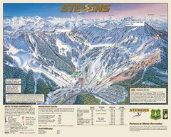
Stevens Pass Trail Map
1669 miles away
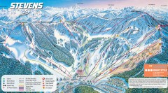
Stevens Pass Ski Trail Map
Official ski trail map of Stevens Pass ski area
1669 miles away
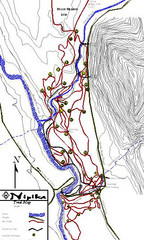
Nipika Ski Trail Map
Trail map from Nipika, which provides nordic skiing. This ski area has its own website.
1670 miles away
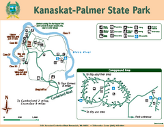
Kanaskat-Palmer State Park Map
Map of park with detail of trails and recreation zones
1670 miles away
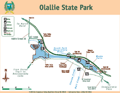
Olallie State Park Map
Map of park with detail of trails and recreation zones
1671 miles away
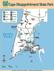
Cape Dissapointment State Park Map
Map of park with detail of trails and recreation zones
1672 miles away
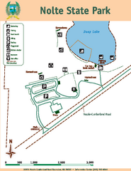
Nolte State Park Map
Map of park with detail of trails and recreation zones
1672 miles away
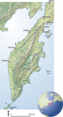
Kamchatka Peninsula map
Shaded relief map of the Kamchatka Peninsula. from raipon.org: "Kamchatka Peninsula is...
1672 miles away
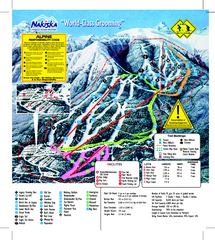
Nakiska Ski Resort Ski Trail Map
Trail map from Nakiska Ski Resort, which provides downhill skiing. This ski area has its own...
1673 miles away
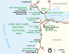
Lewis & Clark National Historic Trail...
Official NPS map of Lewis & Clark National Historic Trail in Oregon-Washington. Shows all areas...
1674 miles away
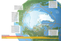
Northwest Passage Map
The ways travel could change if the Northwest Passage were to be re-opened
1676 miles away
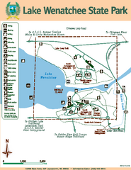
Lake Wenatchee State Park Map
Map of island with detail of trails and recreation zones
1676 miles away
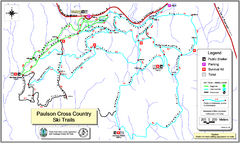
Paulson X-C (Castlegar Nordic) Ski Trail Map
Trail map from Paulson X-C (Castlegar Nordic), which provides nordic skiing. This ski area has its...
1676 miles away

