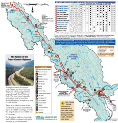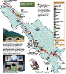
Banff National Park Map
1646 miles away
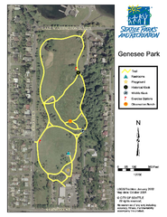
Genesee Park Trail Map
Trail map of Genesee Park in Mt Baker, Seattle, WA
1646 miles away
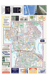
Bellevue tourist map
Tourist map of Bellevue, Washington. Shows all businesses.
1646 miles away
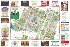
Tourist map of Downtown Bellevue
Tourist map of Downtown Bellevue, Washington. Shows all businesses.
1646 miles away
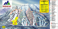
Banff Mount Norquay Ski Trail Map
Trail map from Banff Mount Norquay, which provides downhill skiing. This ski area has its own...
1646 miles away
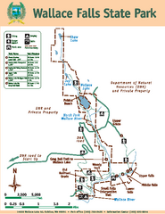
Wallace Falls State Park Map
Map of park with detail of trails and recreation zones
1646 miles away
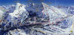
Sunshine Village Ski Trail Map
Official ski trail map of Sunshine Village ski area.
1647 miles away
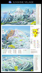
Sunshine Trail Map
Trail map of Sunshine Village
1647 miles away
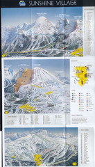
Banff’s Sunshine Village Ski Trail Map
Trail map from Banff’s Sunshine Village.
1647 miles away
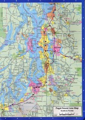
Seattle, Washington City Map
1647 miles away
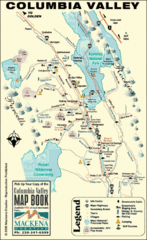
Columbia Valley Map
Easy to follow map and legend of this wilderness area.
1647 miles away
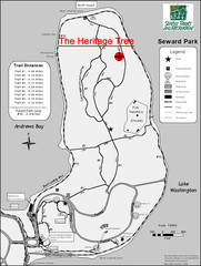
Seward Park Trails Map
Map of the trails in Seward Park, a 300-acre park on a peninsula in the south Seattle, WA area.
1648 miles away
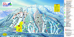
Norquay Map
Ski trail map
1648 miles away
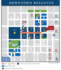
Downtown Bellevue Map
Driving Directions and Downtown Map
1648 miles away
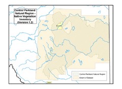
Aspen Parkland Natural Region Map
Map of area defined in the current vegetation / land use database for the Aspen Parkland Natural...
1648 miles away
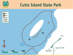
Cutts Island Stay Park Map
Map of park with detail of trails and recreation zones
1649 miles away
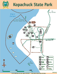
Kopachuck State Park Map
Map of island with detail of trails and recreation zones
1650 miles away

Canyon Ski Area Ski Trail Map
Trail map from Canyon Ski Area, which provides downhill skiing. This ski area has its own website.
1650 miles away
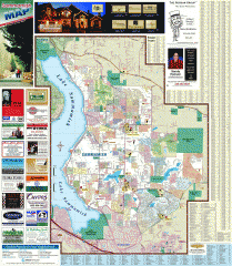
Sammamish tourist map
Tourist map of Sammamish, Washington. Shows all businesses.
1650 miles away
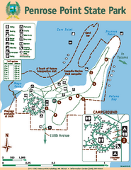
Penrose Point State Park Map
Map of park with detail of trails and recreation zones
1651 miles away
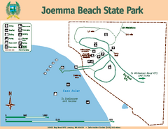
Joemma Beach State Park Map
Map of park with detail of trails and recreation zones
1651 miles away
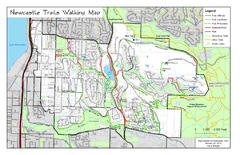
Newcastle Trails Trail Map
Trail map of existing and proposed trails in Newcastle, WA
1652 miles away
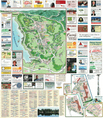
Sammamish tourist map
Sammamish, Washington tourist map. Shows all businesses.
1652 miles away
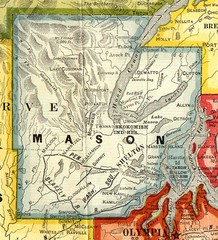
Mason County Washington, 1909 Map
1652 miles away
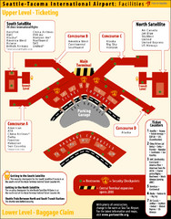
SeaTac Airport Map
1652 miles away
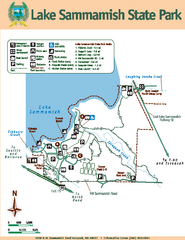
Lake Sammamish State Park Map
Map of island with detail of trails and recreation zones
1653 miles away
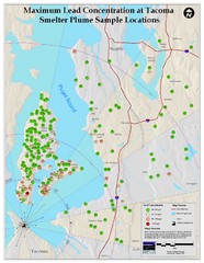
Tacoma Lead Concentration Map
A map of maximum lead concentrations near Tacoma.
1653 miles away
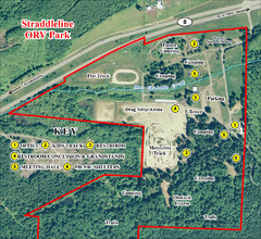
Grays Harbor County Straddleline ORV Park...
Park Map near Olympia
1653 miles away
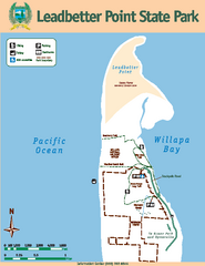
Leadbetter Point State Park Map
Map of park with detail of recreation zones and trails
1653 miles away
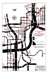
Renton WA Traffic Flow Map
City of Renton, WA traffic flow map
1653 miles away
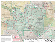
Cougar Mountain Park Trail Map
Trail map of Cougar Mountain Regional Wildland Park, part of the "Issaquah Alps"
1653 miles away
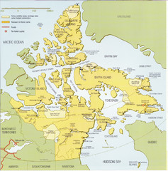
Nunavut Map
Map of Nunavut, Canada. Shows parks and geographical features in the territory.
1654 miles away

Eastern Kamchatka Peninsula Map
1654 miles away
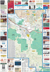
Issaquah tourist map
Issaquah, Washington tourist map. Shows all businesses.
1654 miles away
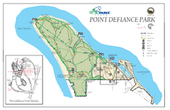
Point Defiance Park Map
1654 miles away

Tourist map of Downtown Des Moines, Washington
Tourist map of Downtown Des Moines, Washington. Shows all businesses.
1654 miles away

Des Moines Washington tourist map
Tourist map of Des Moines, Washington, including Kent and SeaTac airport.
1654 miles away
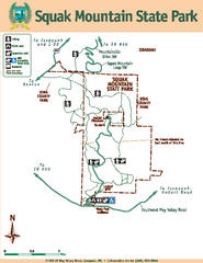
Squak Mountain State Park Map
Map of park with detail of trails and recreation zones
1656 miles away
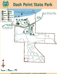
Dash Point State Park Map
Map of park with detail of trails and recreation zones
1657 miles away

