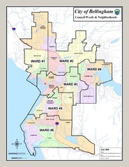
Bellingham Ward Map
Guide to wards in Bellingham, WA
1575 miles away
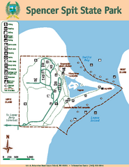
Spencer Spit State Park Map
Map of park with detail of trails and recreation zones
1576 miles away
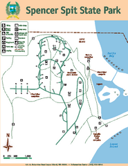
Spencer Spit State Park Map
Map of park with detail of trails and recreation zones
1576 miles away
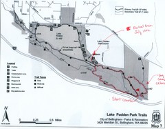
Lake Padden Park Trails Map
Course Elevation Map noted in handwriting on map. Festival location noted as well.
1579 miles away
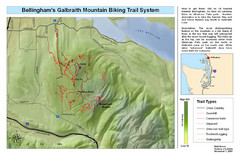
Bellingham Galbraith Mountain Biking Trail Map
Mountain biking trail map of Whatcom Falls Park near Bellingham, WA
1579 miles away

Revelstoke City Map
Overview map of Revelstoke, BC. Shows Points of Interest and activity icons
1579 miles away
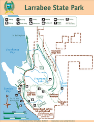
Larrabee State Park Map
Park map of Larrabee State Park, Washington.
1580 miles away
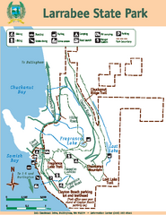
Larrabee State Park Map
Map of island with detail of trails and recreation zones
1580 miles away
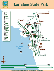
Larrabee State Park Map
Map of island with detail of trails and recreation zones
1581 miles away
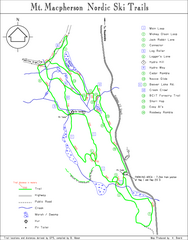
Mt Macpherson Nordic Ski Trail map
Nordic ski trail map of Mt Macpherson area near Revelstoke, BC. Shows trail names and distances in...
1581 miles away
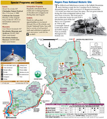
Glacier National Park and Revelstoke National...
Official park map of Glacier National Park and Revelstoke National Park in British Columbia, Canada.
1581 miles away
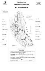
Mt. Macpherson Mountain Bike Trail Map
Mountain bike trail maps of Mt. Macpherson area and Mt. Mackenzie area right out of the town of...
1581 miles away
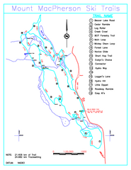
Revelstoke Nordic—Mount MacPherson Nordic Ski...
Trail map from Revelstoke Nordic—Mount MacPherson, which provides nordic skiing. This ski area...
1581 miles away
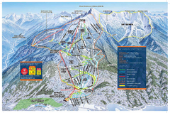
Revelstoke Ski Trail Map - Front side
Ski trail map of front side of Revelstoke ski area in Revelstoke, Canada from the 2008-2009 season.
1583 miles away
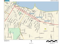
Port Angeles City Map
1583 miles away
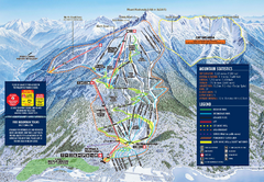
Revelstoke Ski Trail Map 2009-2010
Official ski trail map of Revelstoke Mountain Resort from the 2009-2010 season.
1583 miles away
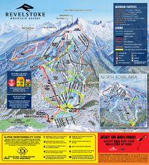
Revelstoke Ski Trail Map 2010-11
Ski trail map of Revelstoke Mountain Resort for the 2010-2011 season. Inset shows North Bowl area.
1584 miles away
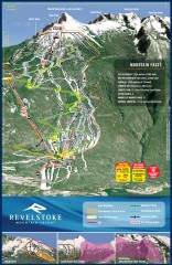
Revelstoke Ski Trail Map
Official ski trail map of Revelstoke ski area from the inaugural 2007-2008 season.
1584 miles away
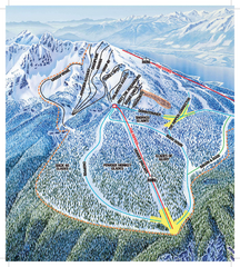
Revelstoke Ski Trail Map - North Bowl
Ski trail map of the North Bowl of Revelstoke ski area in Revelstoke, BC. From the 2008-2009...
1584 miles away
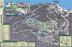
Sovereign Lake Nordic Ski Trail Map
Trail map from Sovereign Lake, which provides night and nordic skiing. This ski area has its own...
1585 miles away
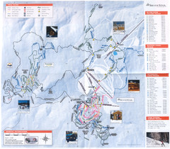
Sovereign Lake Ski Trail Map
Trail map from Sovereign Lake, which provides night and nordic skiing. This ski area has its own...
1585 miles away

Alpine Mountain Trail Map
Ski trails on Alpine Mountain
1586 miles away
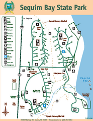
Sequim Bay State Park Map
Map of park with detail of trails and recreation zones
1587 miles away
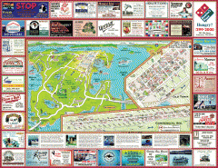
Anacortes tourist map
Tourist map of Anacortes, Washington. Shows recreation and points of interest.
1587 miles away
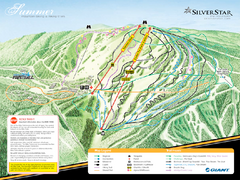
Silver Star Mountain Resort Summer Ski Trail Map
Trail map from Silver Star Mountain Resort.
1587 miles away
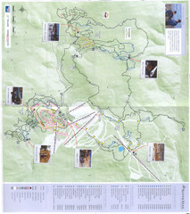
Silver Star Mountain Resort Nordic Ski Trail Map
Trail map from Silver Star Mountain Resort.
1587 miles away
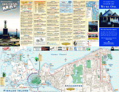
Fidalgo Island tourist map
Tourist map of Fidalgo Island in Anacortes, Washington. Shows recreation and points of interest.
1588 miles away
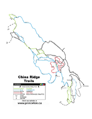
China Ridge XC Ski Trail Map
Trail map from China Ridge XC, which provides nordic skiing.
1589 miles away
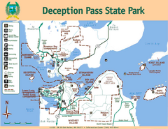
Deception Pass State Park Map
Map of park with detail of trails and recreation zones
1590 miles away
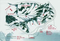
Hurricane Ridge Ski Trail Map
Trail map from Hurricane Ridge.
1590 miles away

Skagit County Washington, 1909 Map
1591 miles away
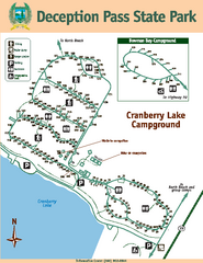
Deception Pass State Park Map
Map of park with detail of trails and recreation zones
1591 miles away
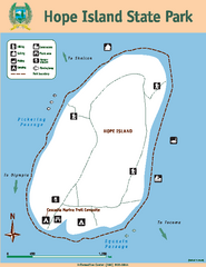
Hope Island State Park Map
Map of park with detail of trails and recreation zones
1591 miles away
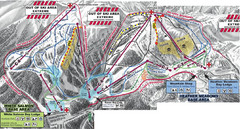
Mt. Baker Ski Area Ski Trail Map
Trail map from Mt. Baker Ski Area, which provides terrain park skiing. It has 10 lifts servicing 38...
1591 miles away
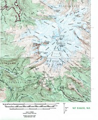
Mt. Baker Topo Map
Topo map of Mt. Baker, Washington, elevation 10,778ft.
1592 miles away
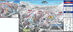
Mt. Baker Ski Trail Map
Official ski trail map of Mount Baker ski area from the 2007-2008 season.
1592 miles away
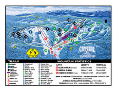
Crystal Mountain Resort Ski Trail Map
Trail map from Crystal Mountain Resort, which provides downhill skiing. This ski area has its own...
1593 miles away
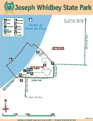
Joseph Whidbey State Park Map
Map of park with detail of trails and recreation zones
1593 miles away
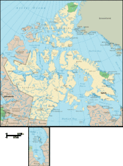
Nunavut Map
Detailed Nunavut Map, newest province in Canada
1593 miles away
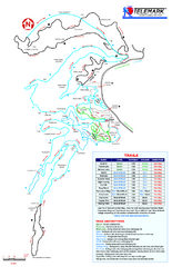
Telemark Cross Country Ski Trail Map
Trail map from Telemark Cross Country, which provides nordic skiing. This ski area has its own...
1594 miles away

